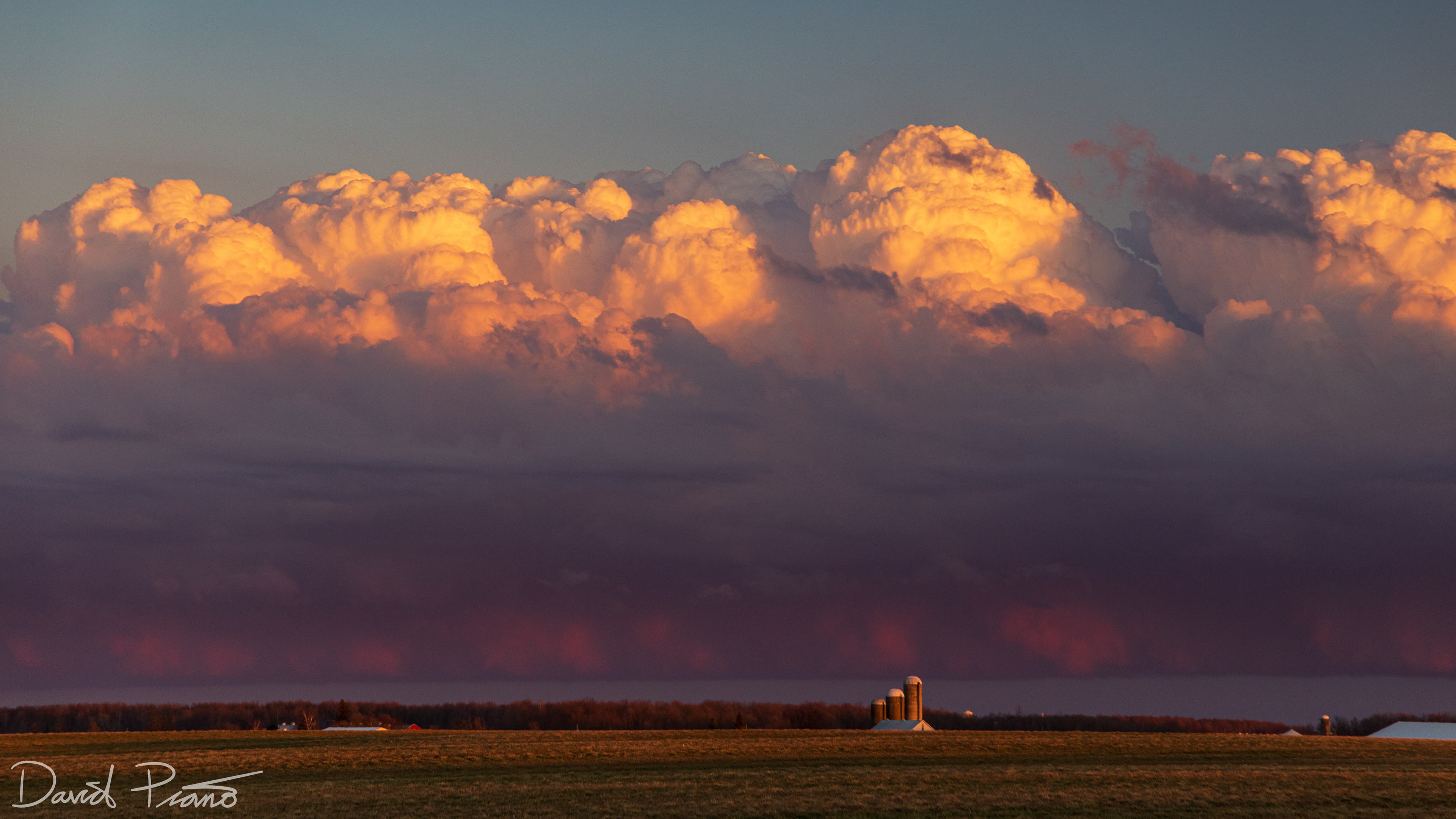
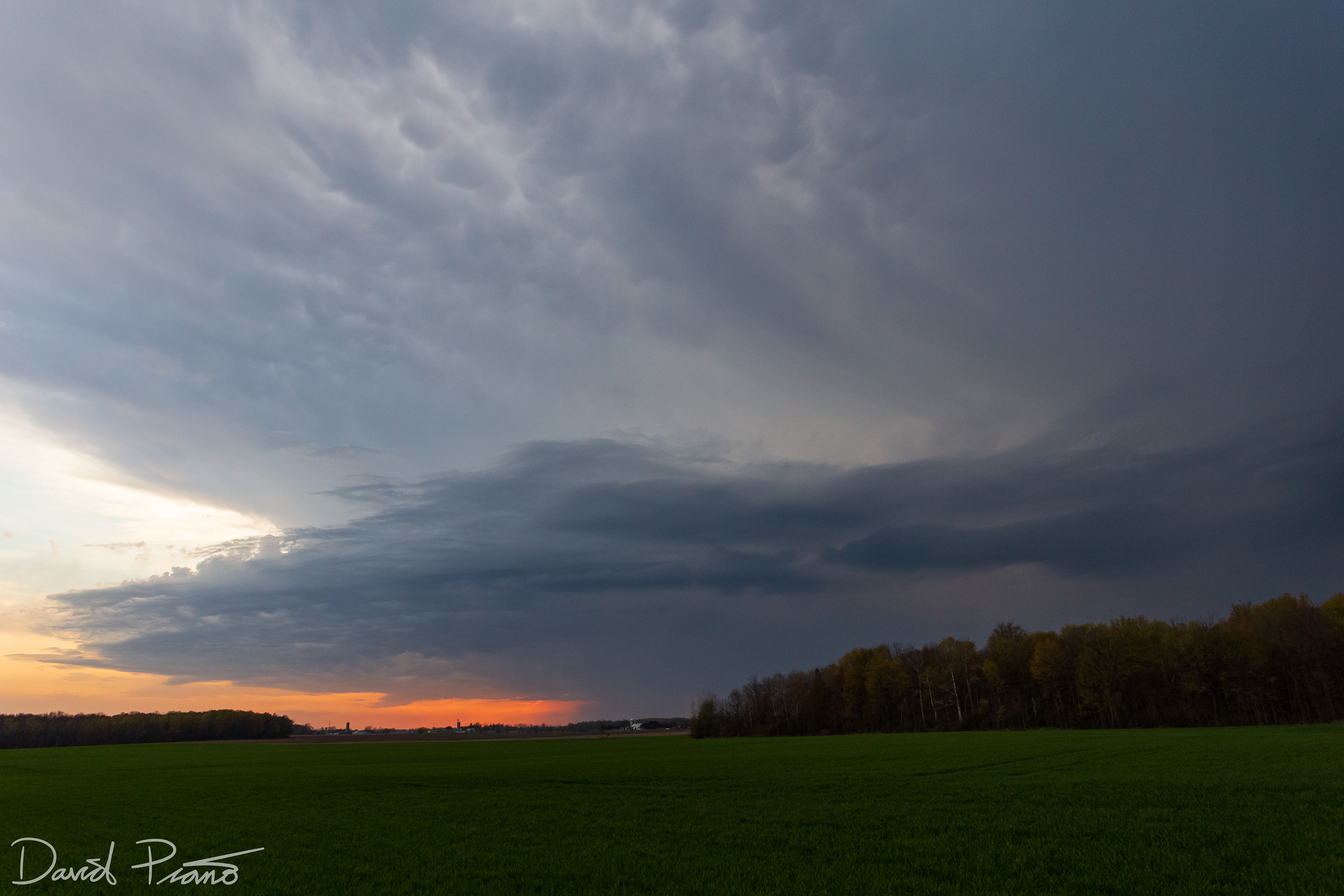
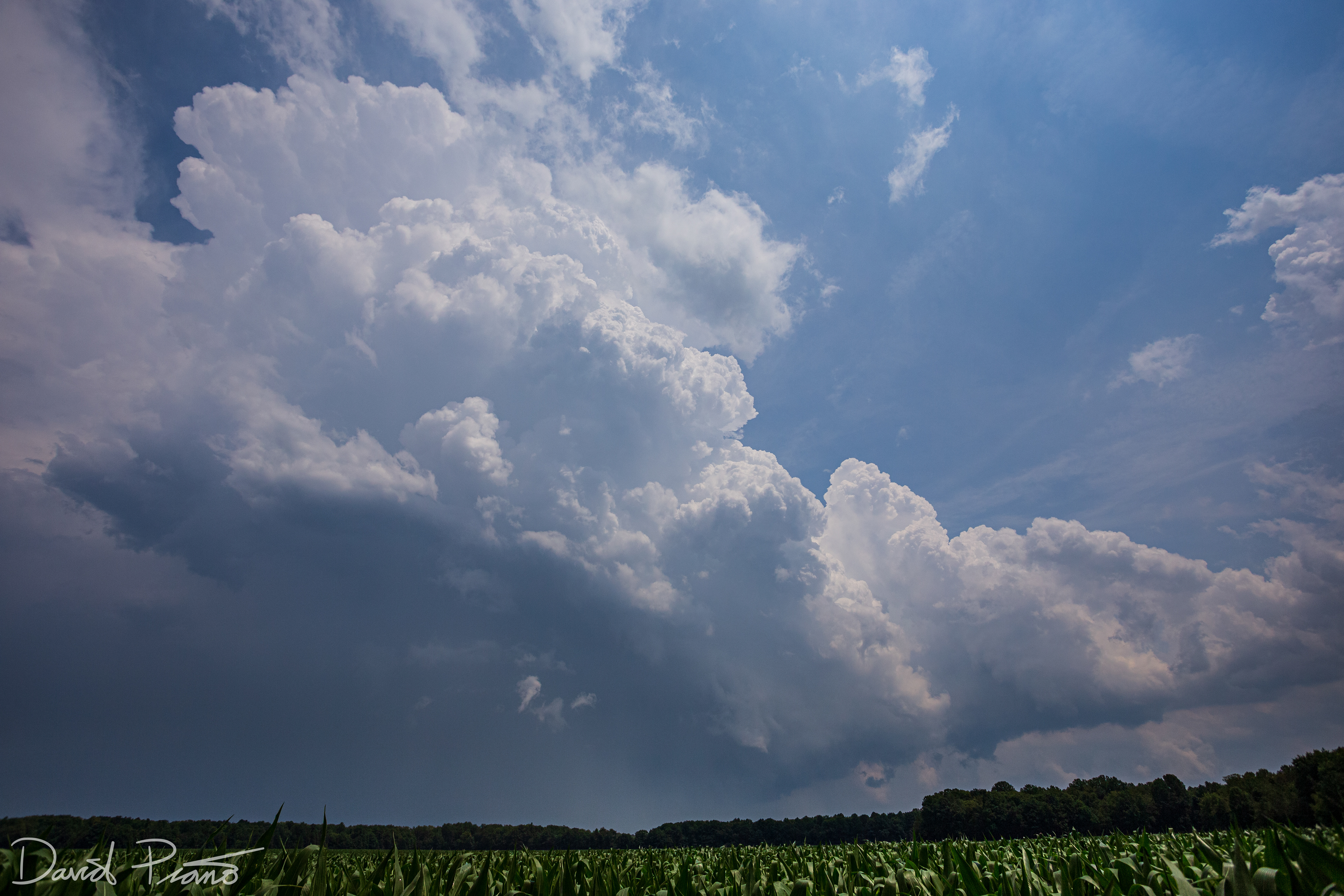
Photogenic sunset-illuminated cumulonimbus in Perth County
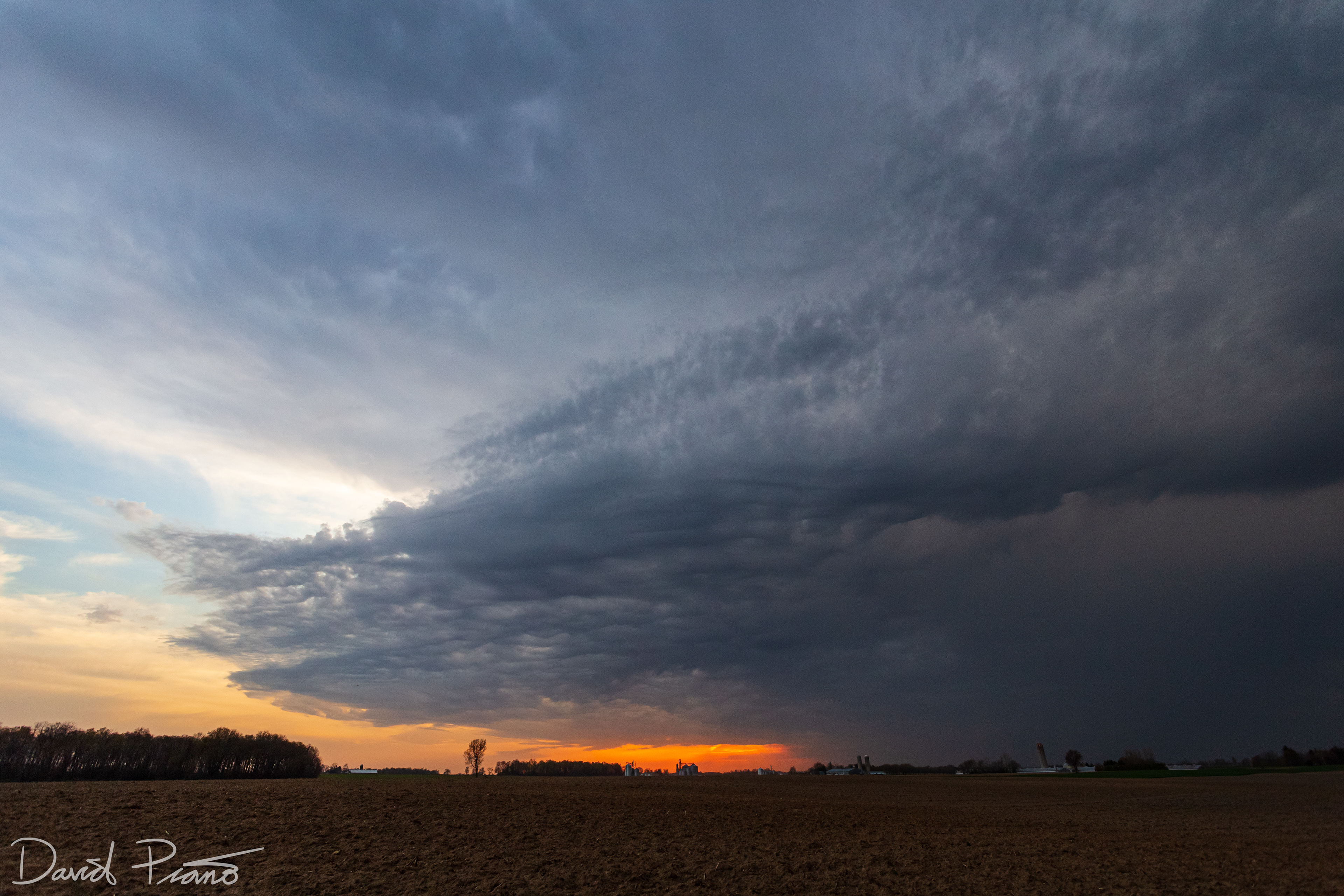
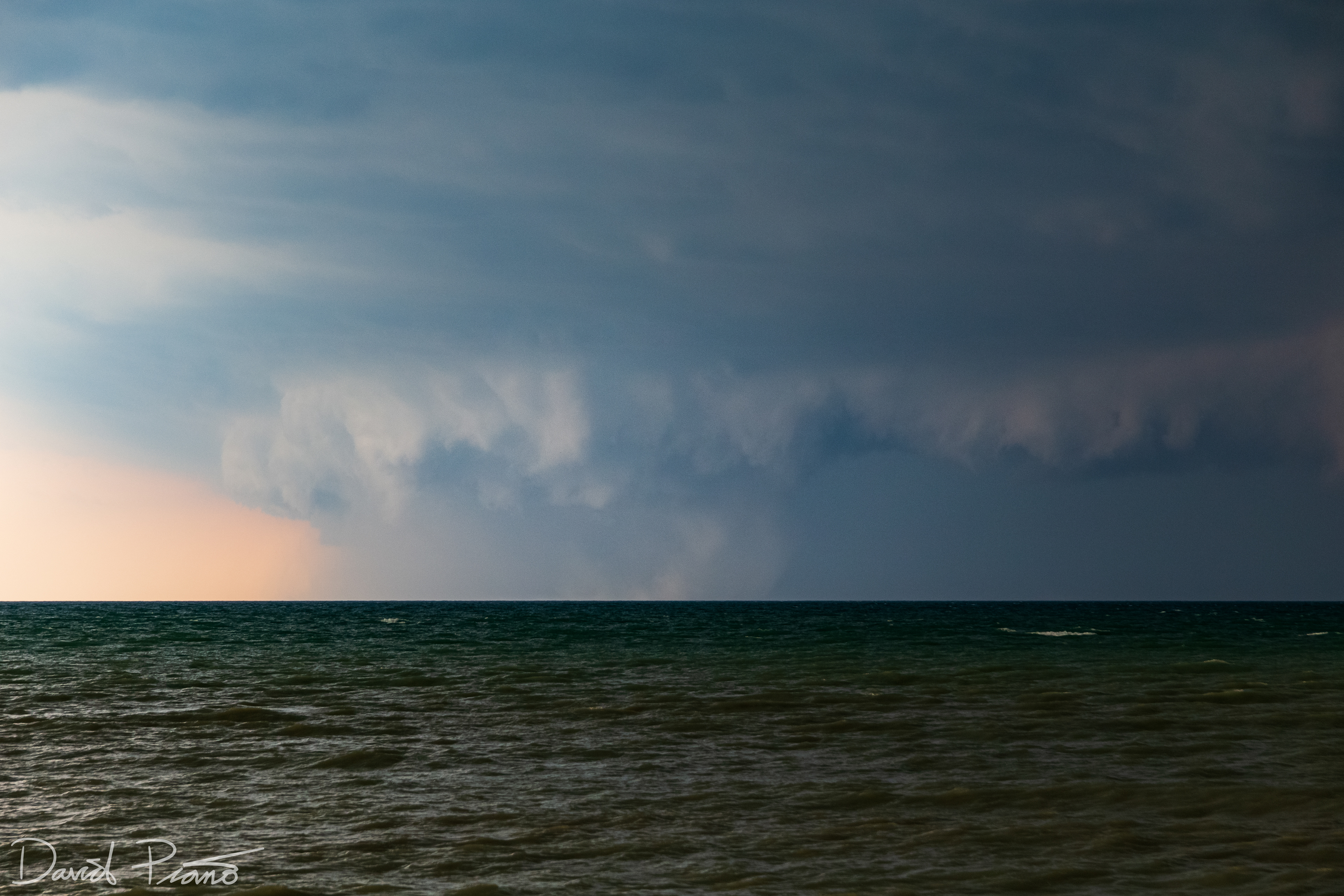
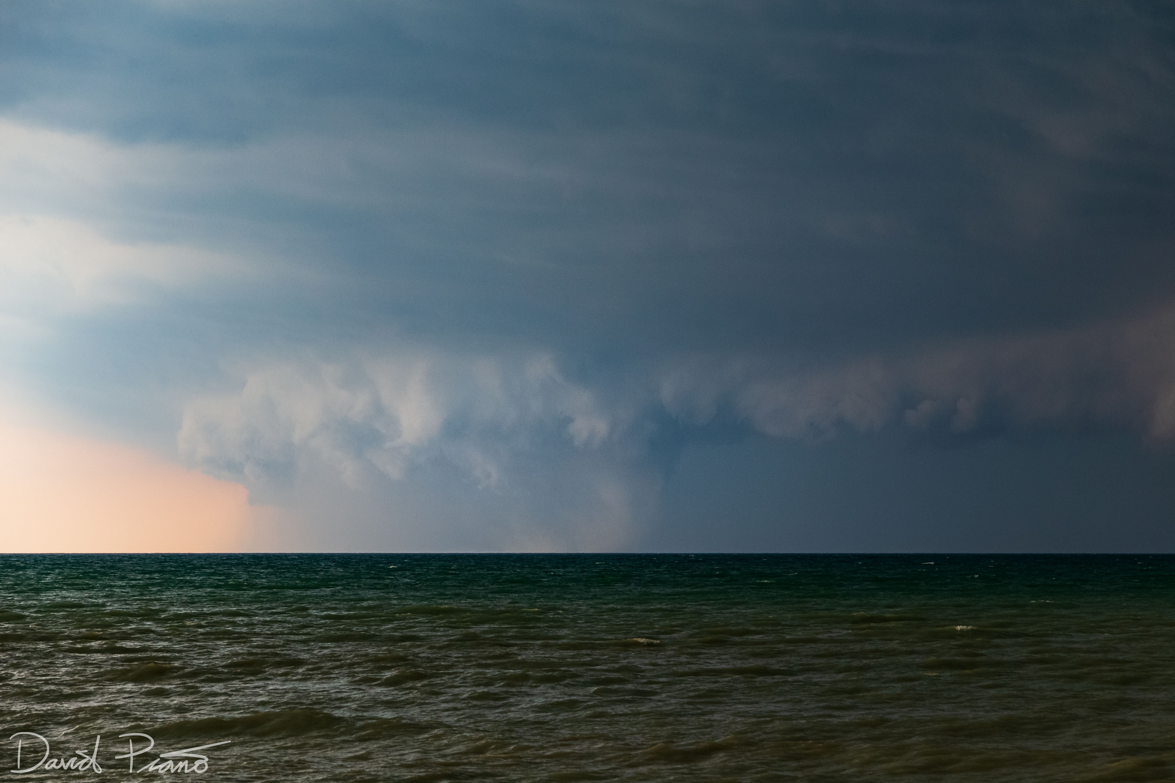
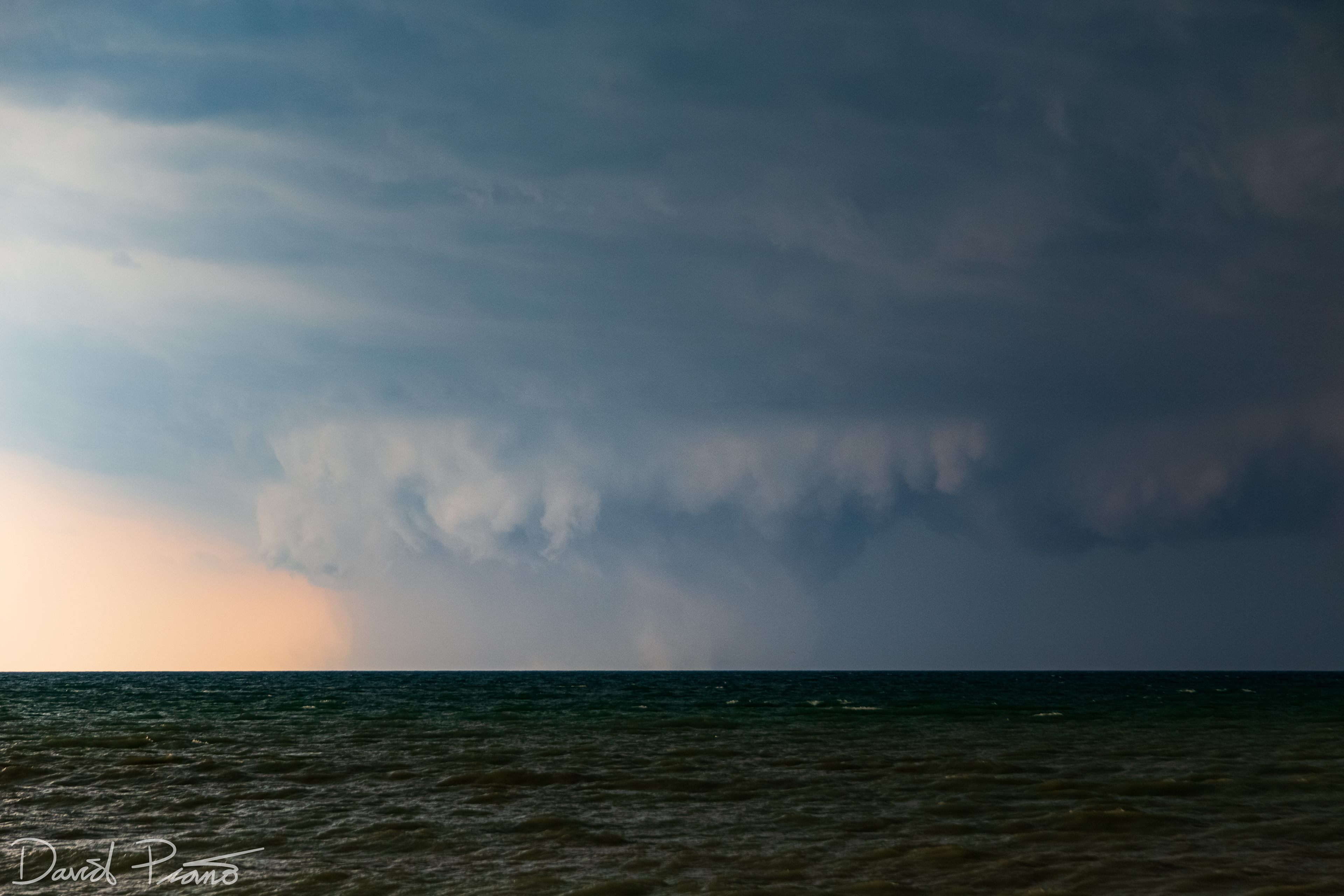
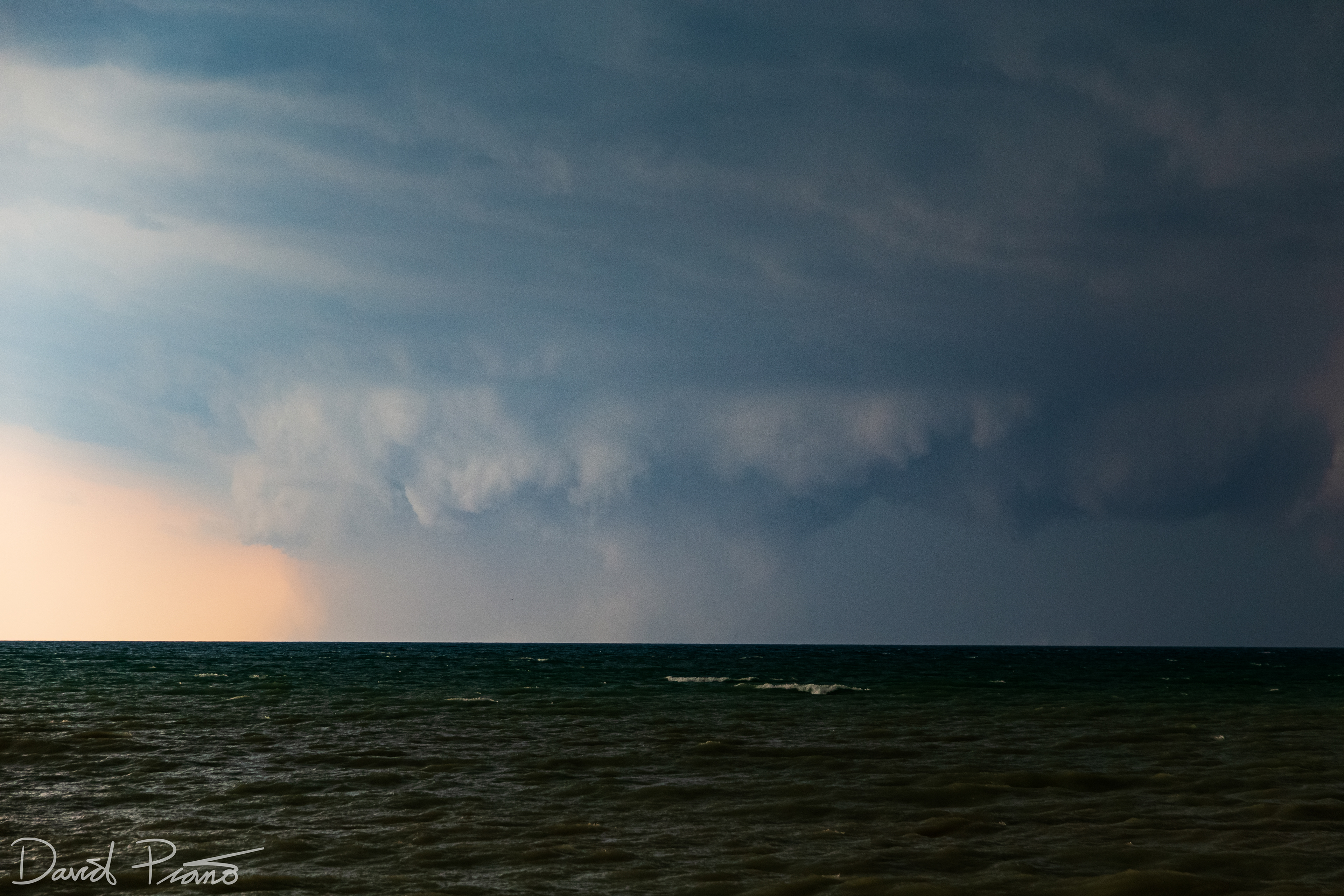
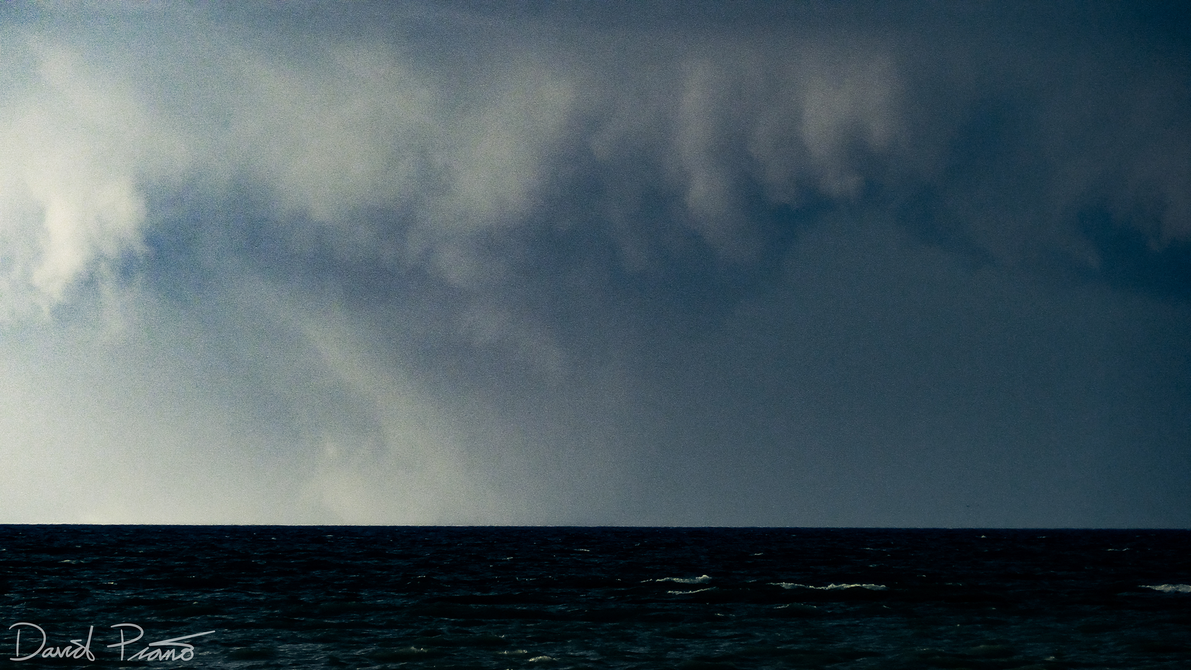
Distant line of CBs in Perth County

Stunning pileus cap seen over a distant cumulonimbus
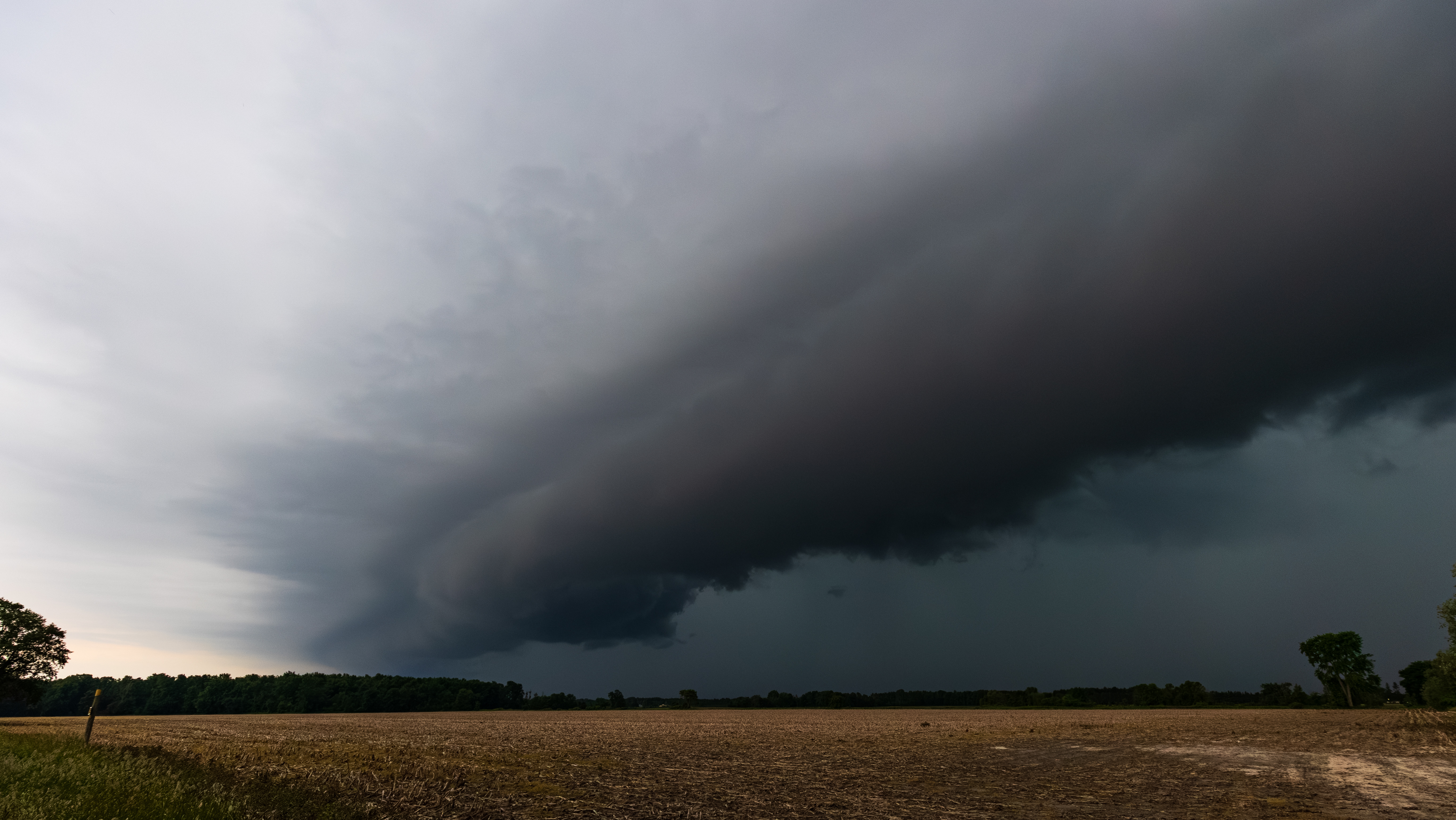
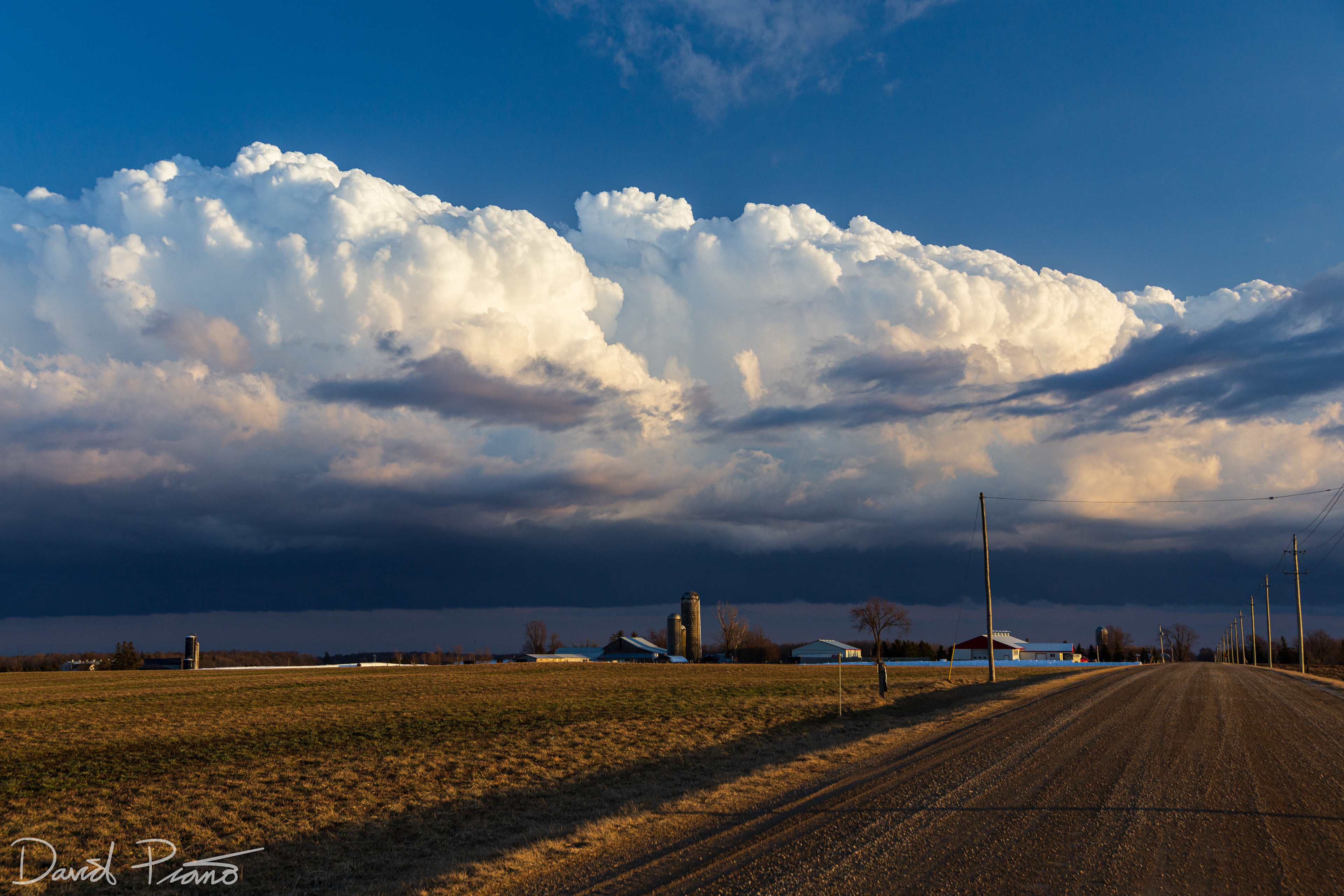
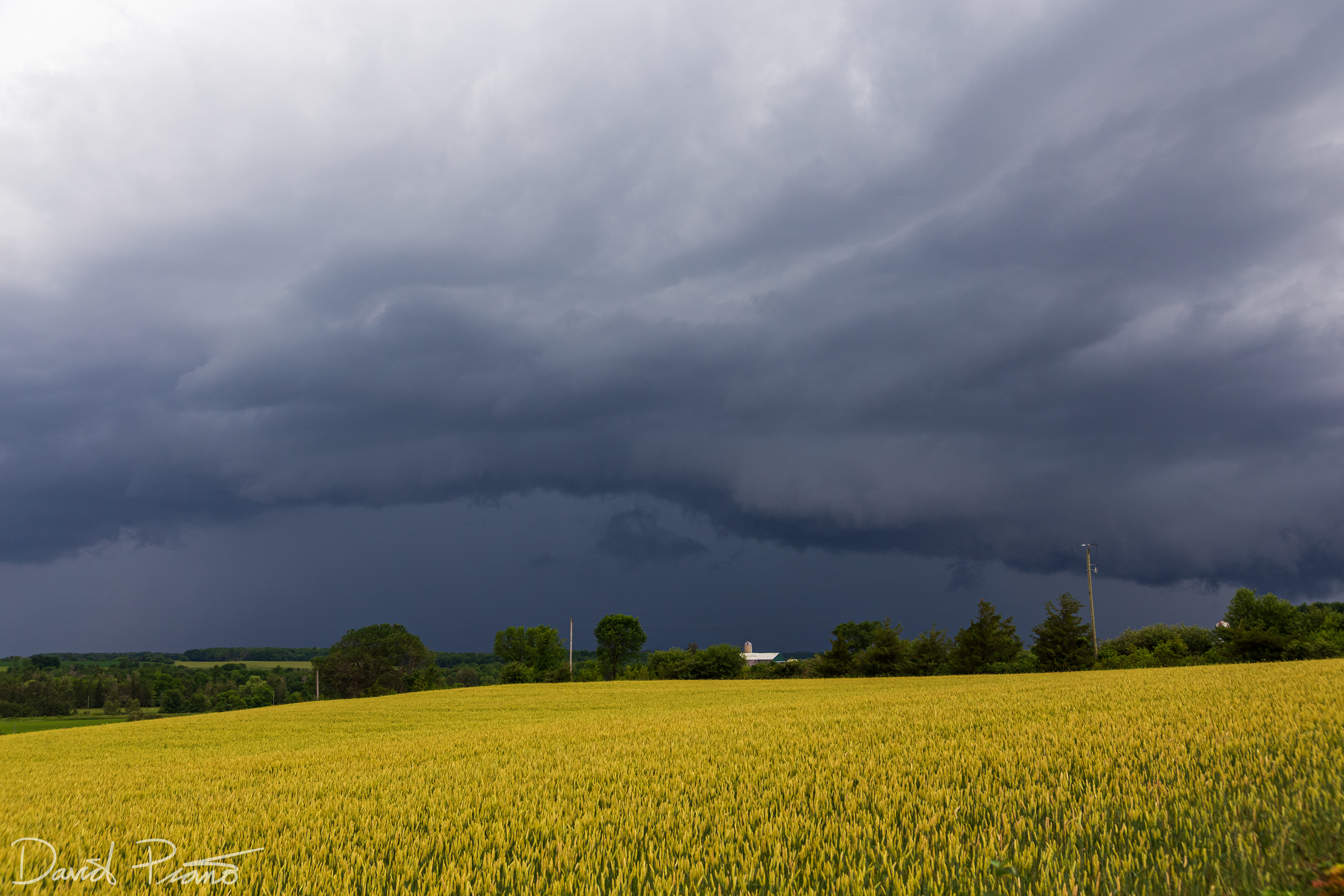
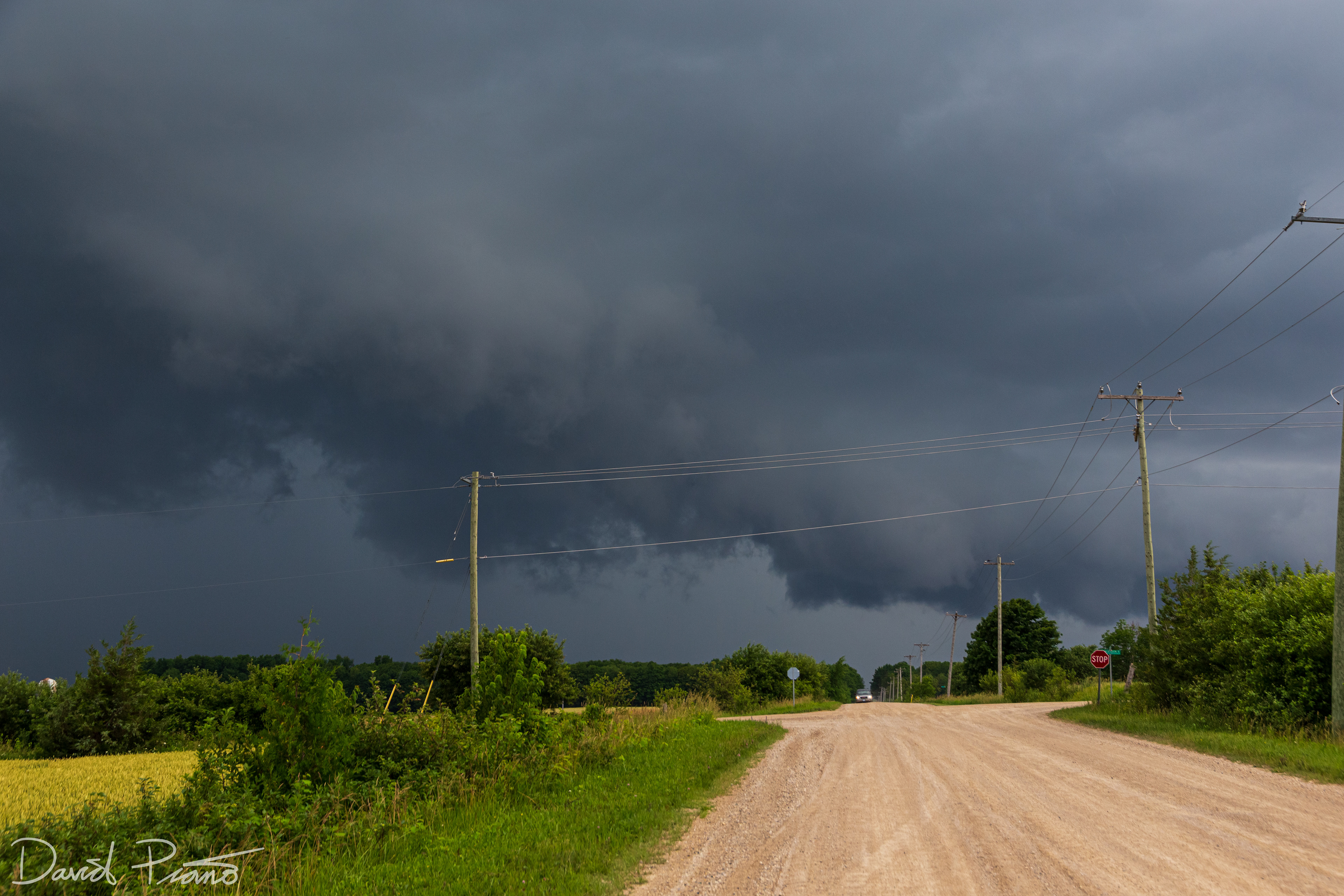
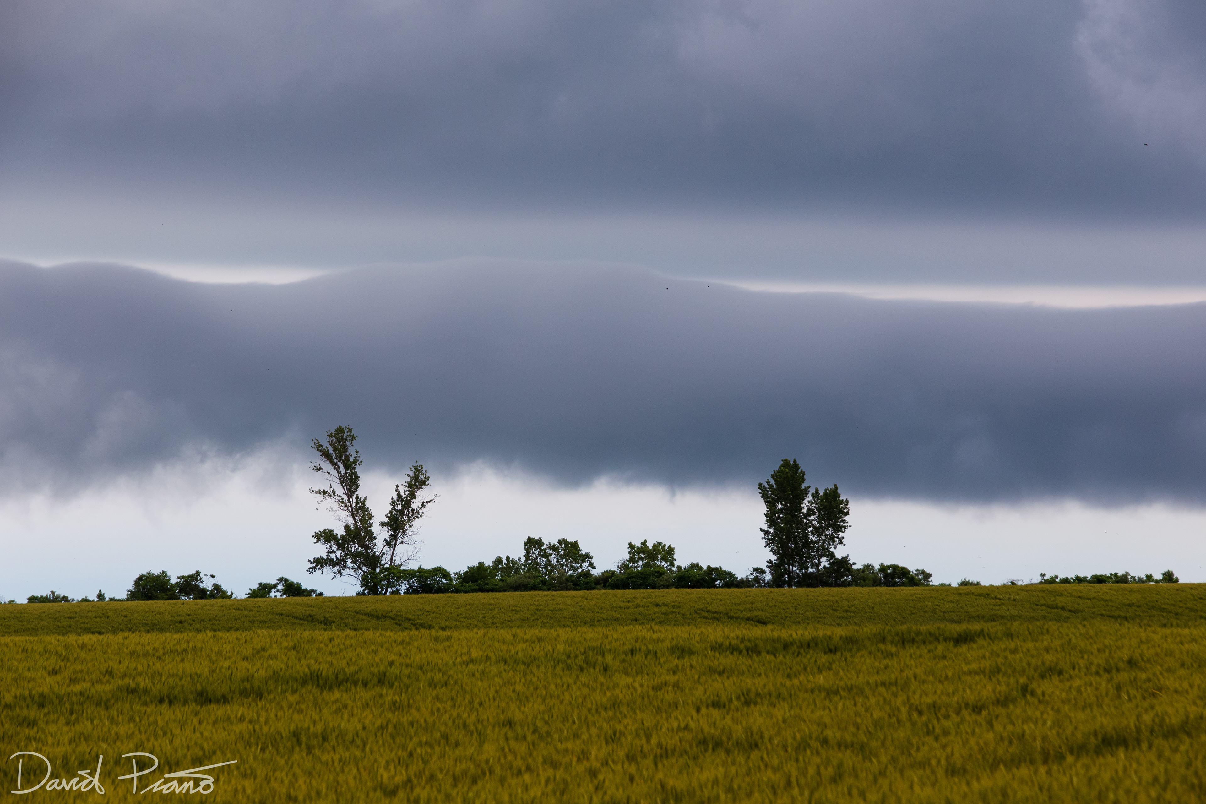
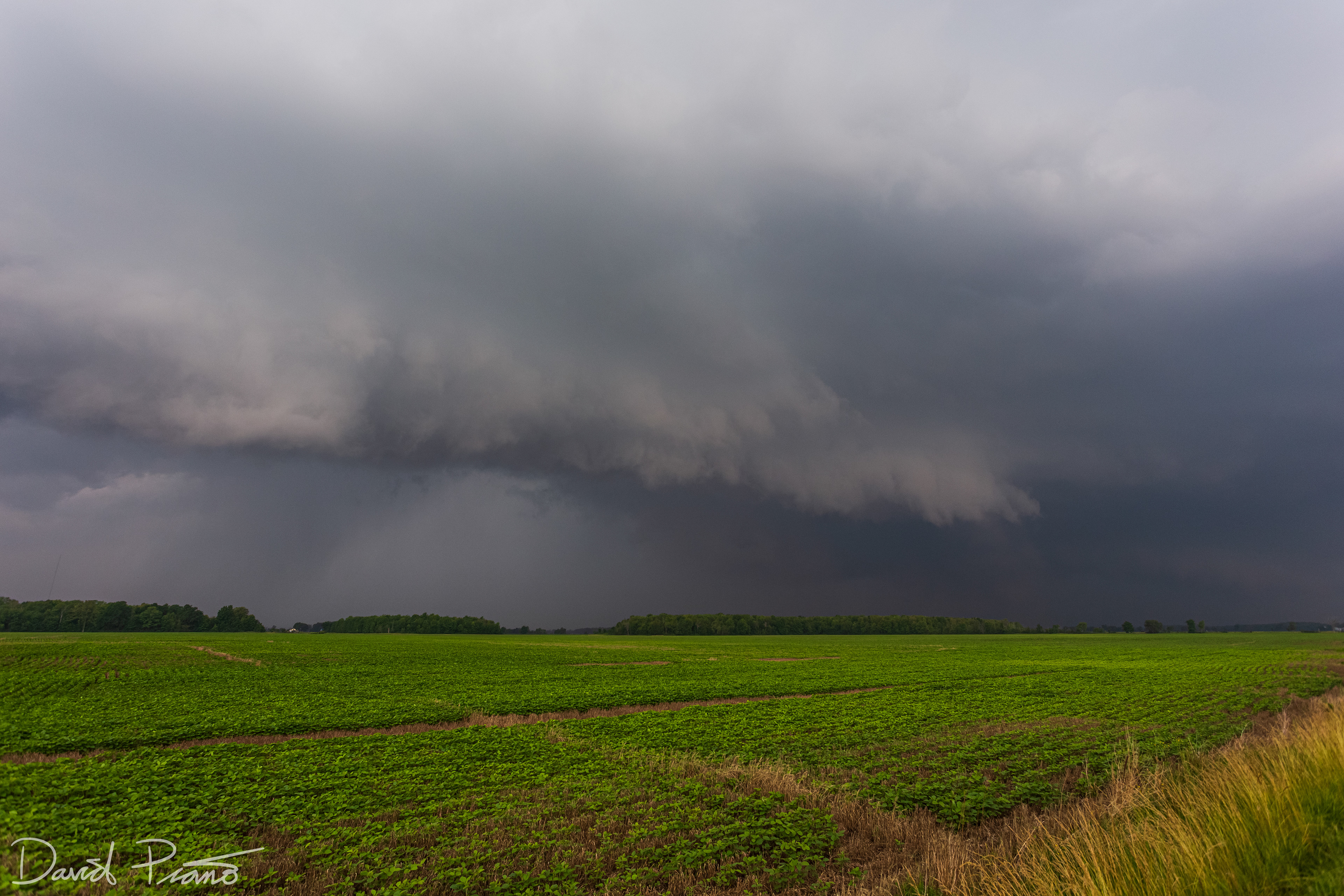
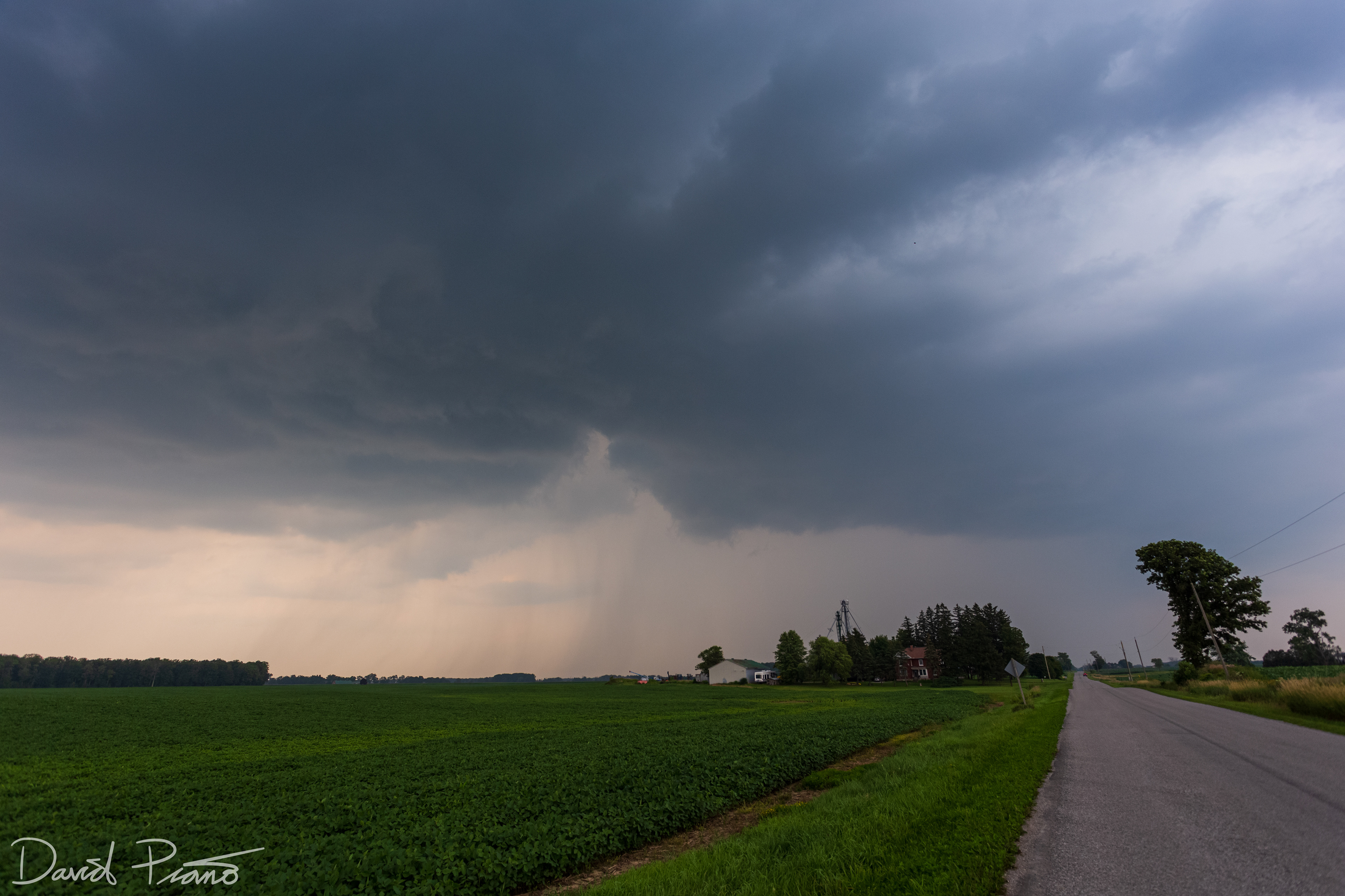
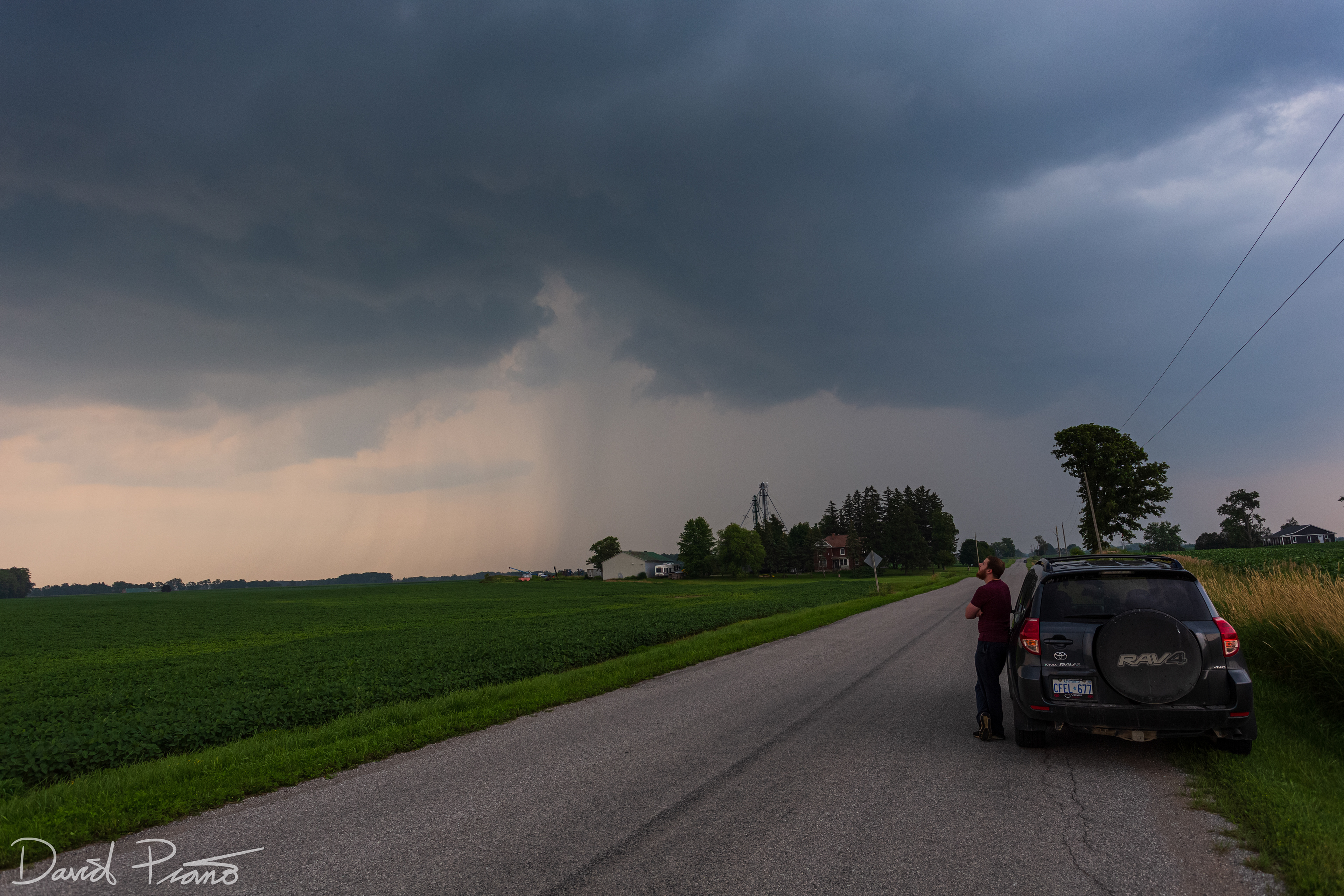
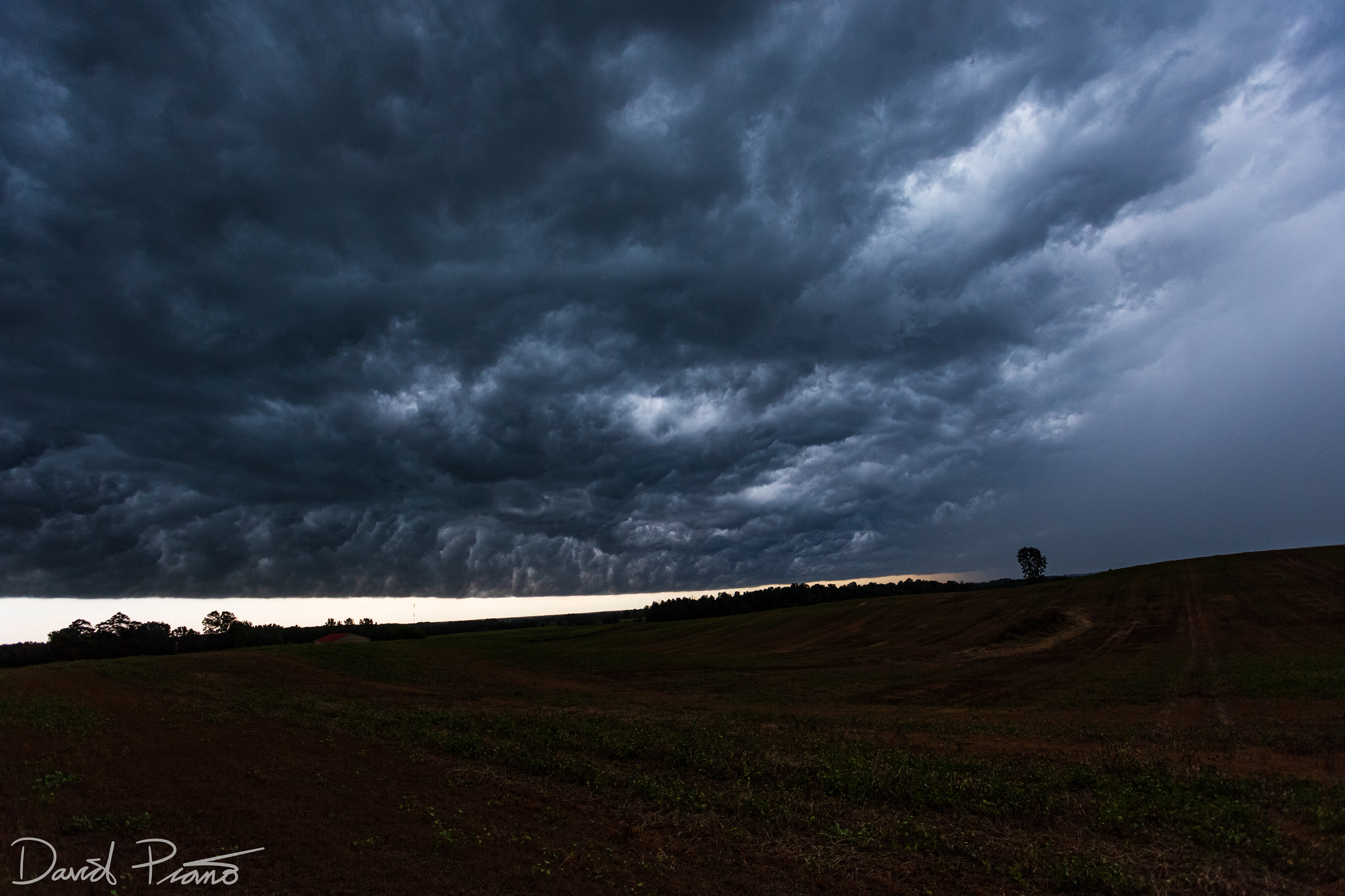
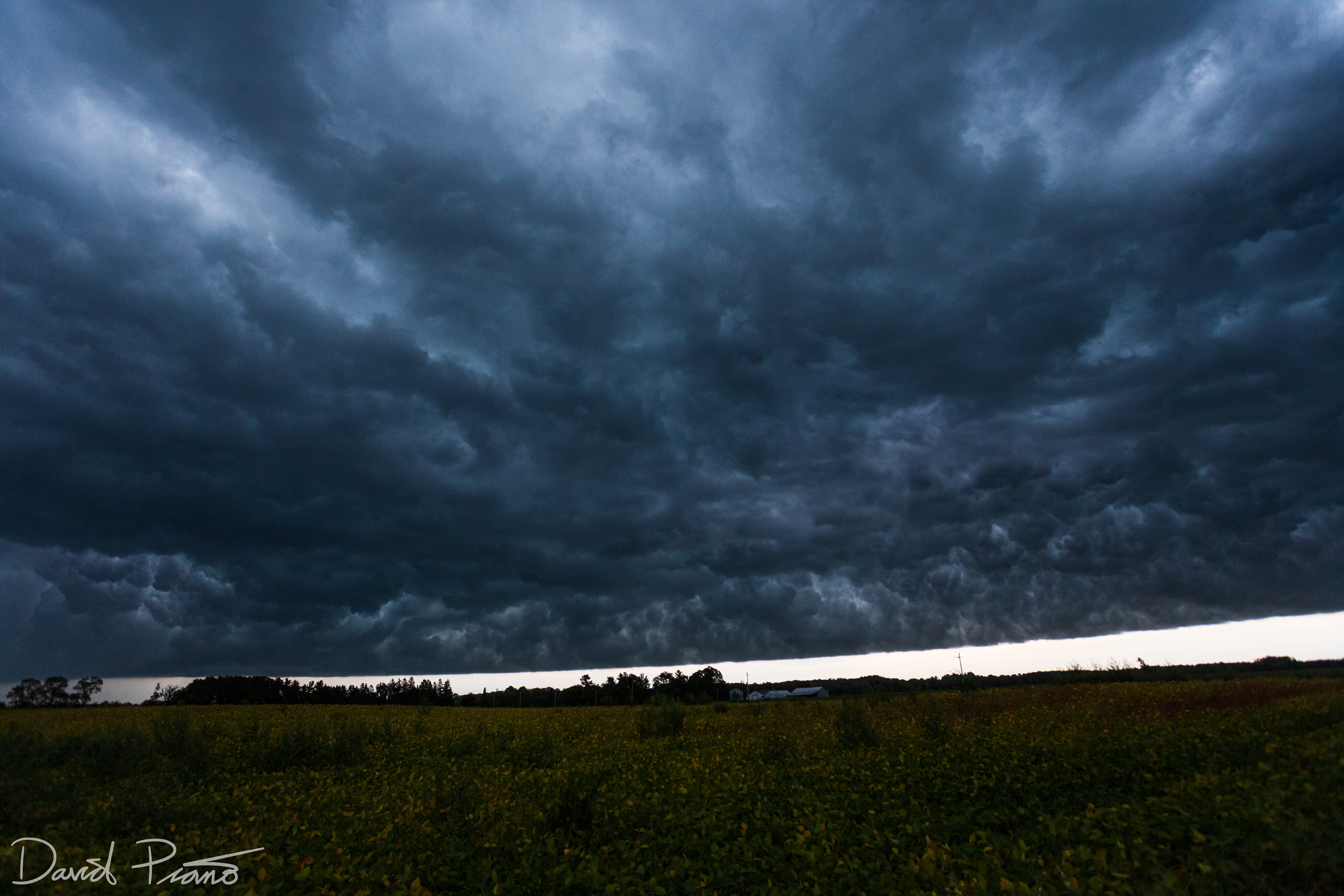
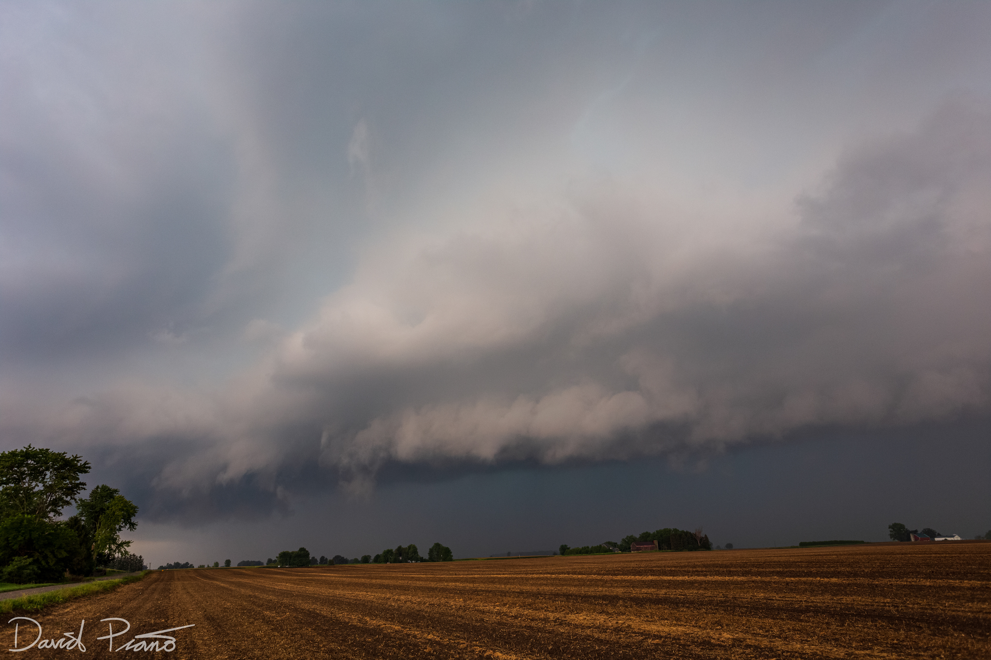
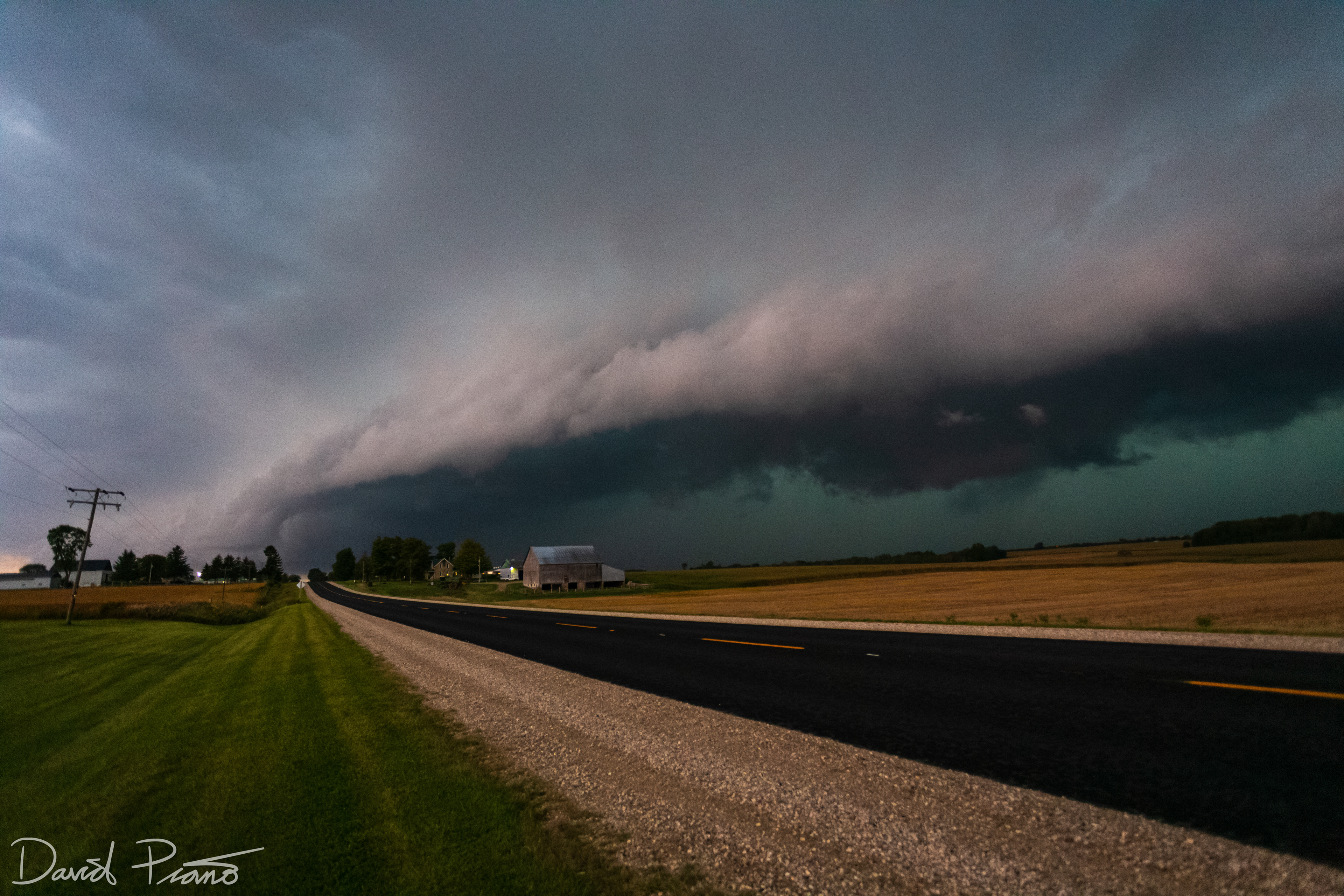
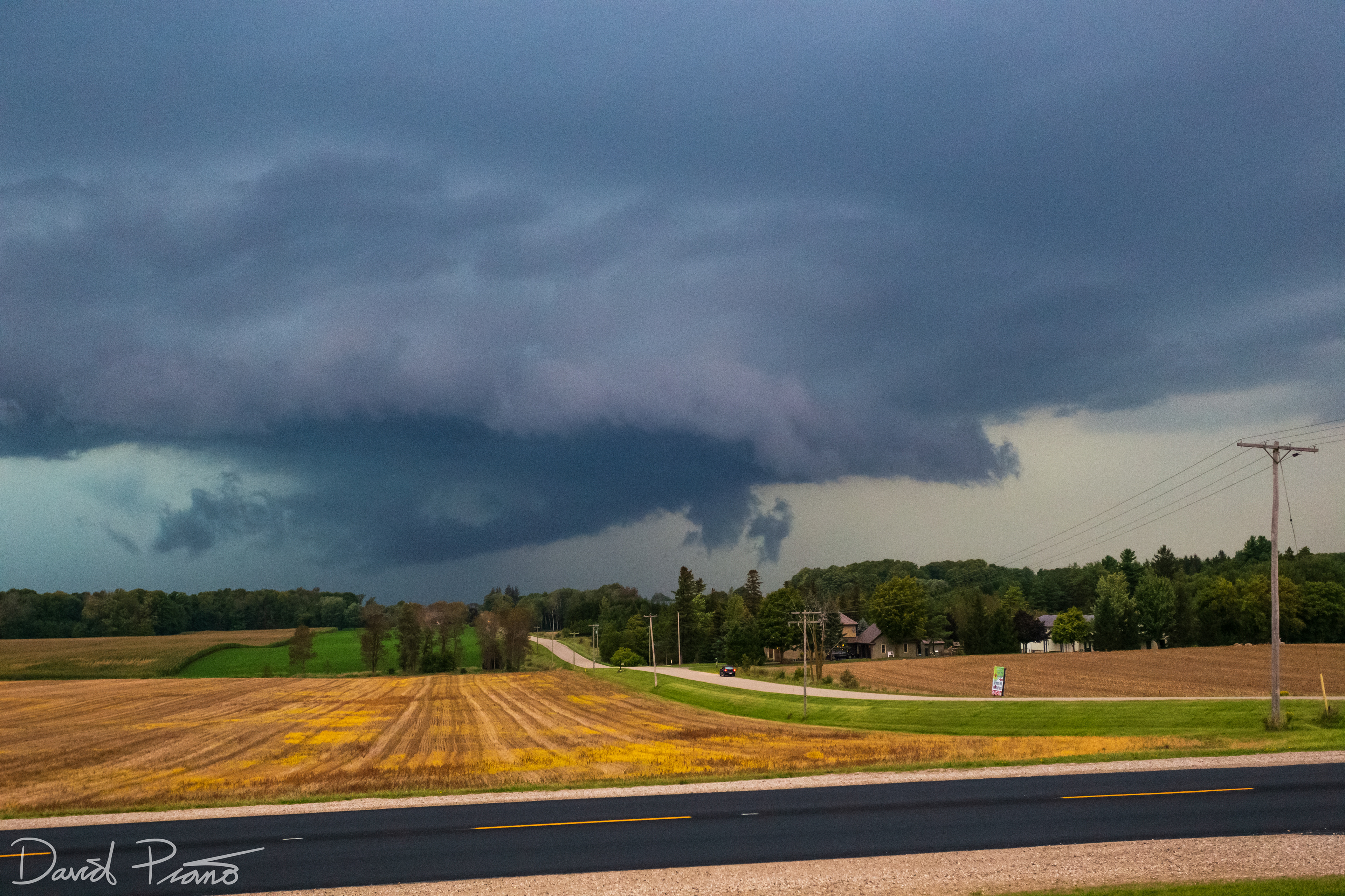
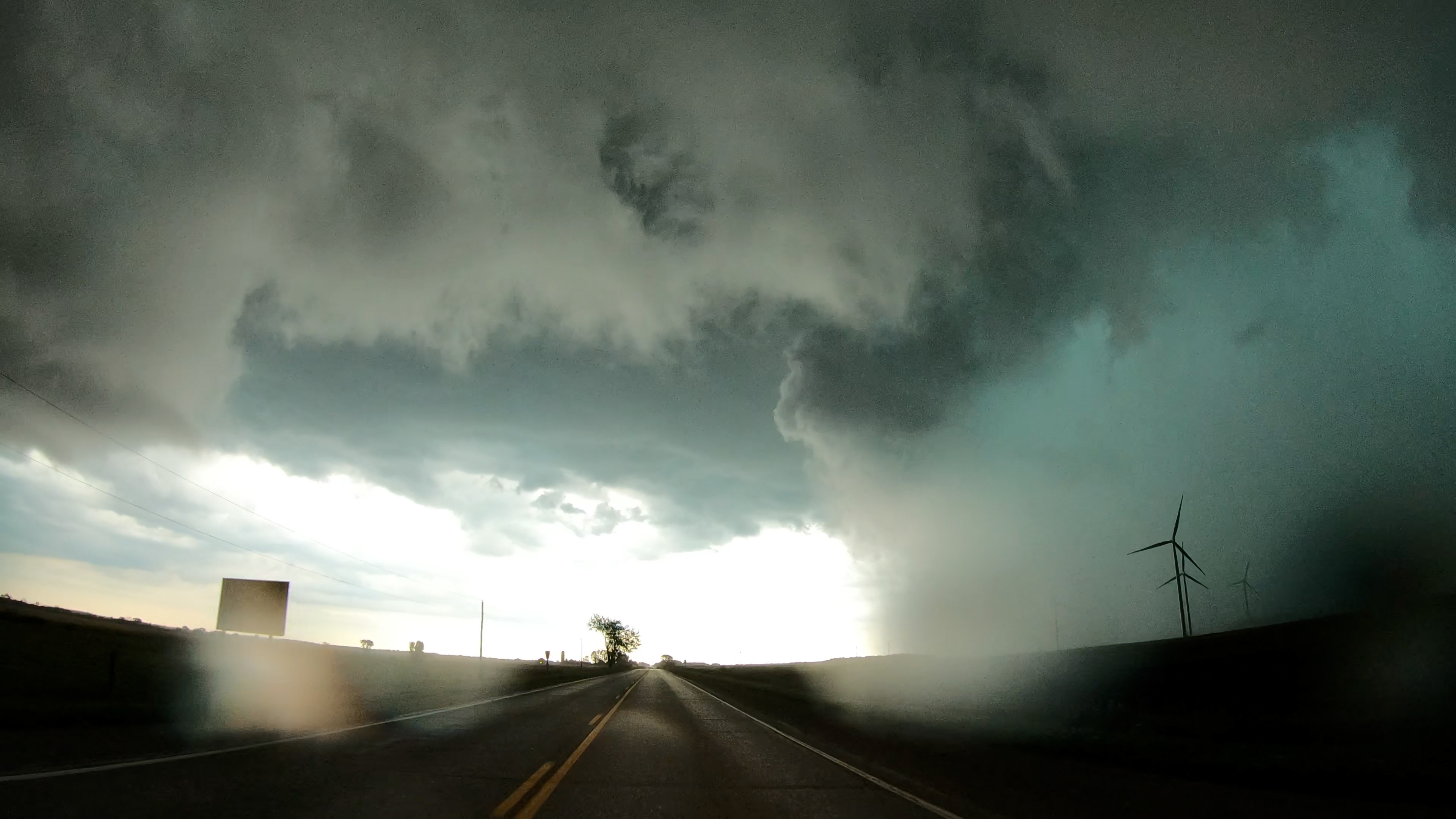
Strong early-season thunderstorm in Perth County
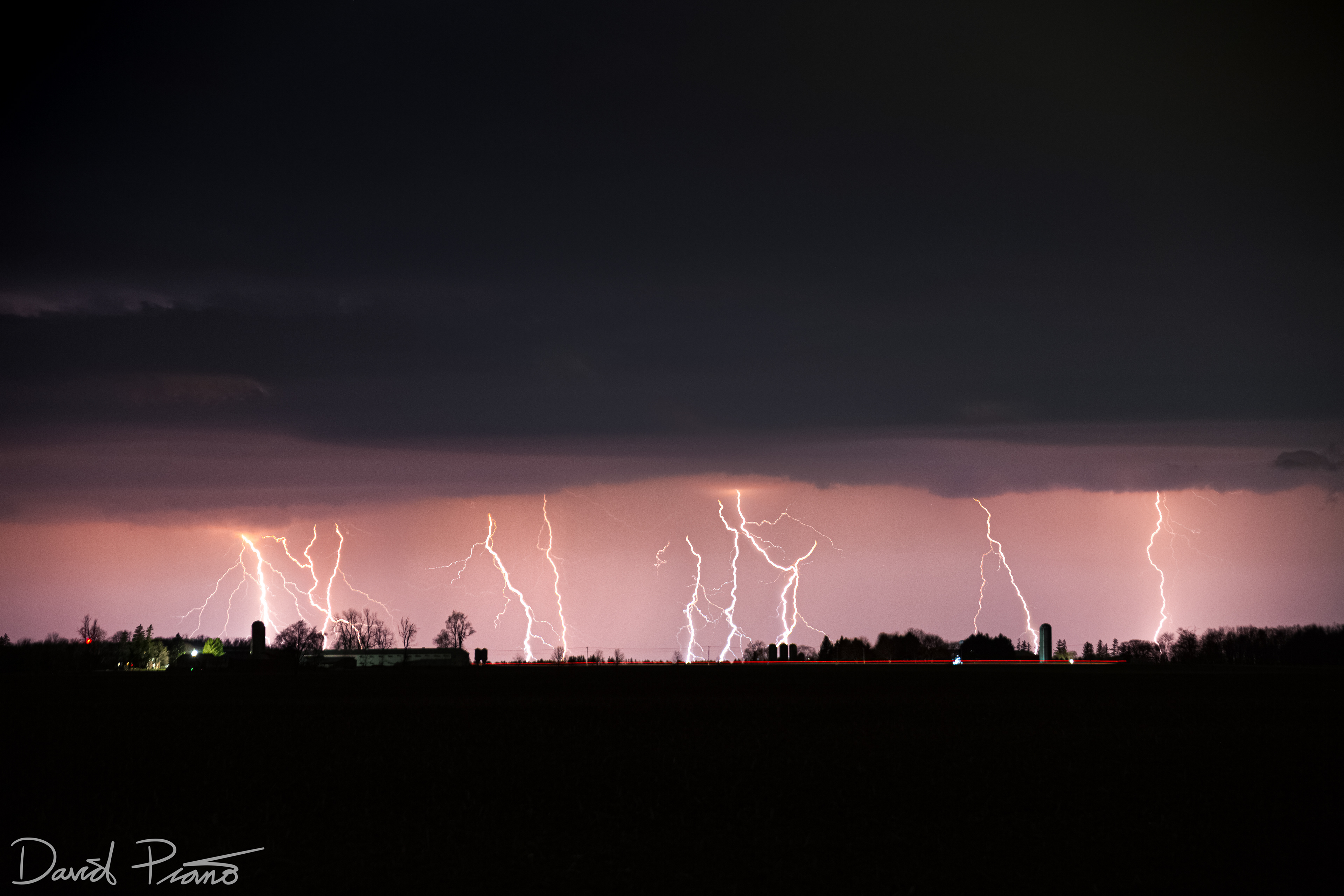
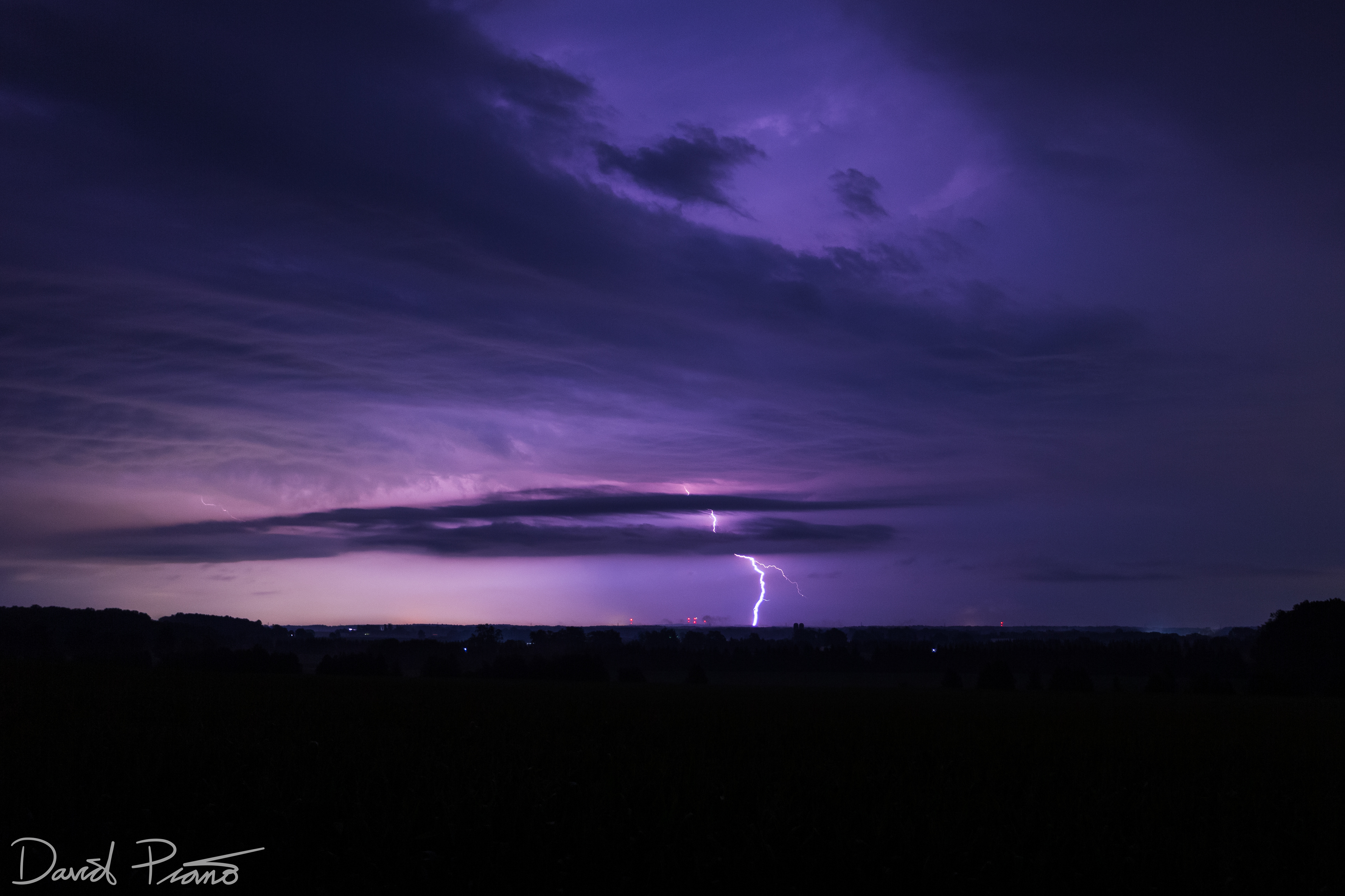
An early season storm unleashed a barrage of CG lightning in Oxford County
An early season storm unleashed a barrage of CG lightning in Oxford County
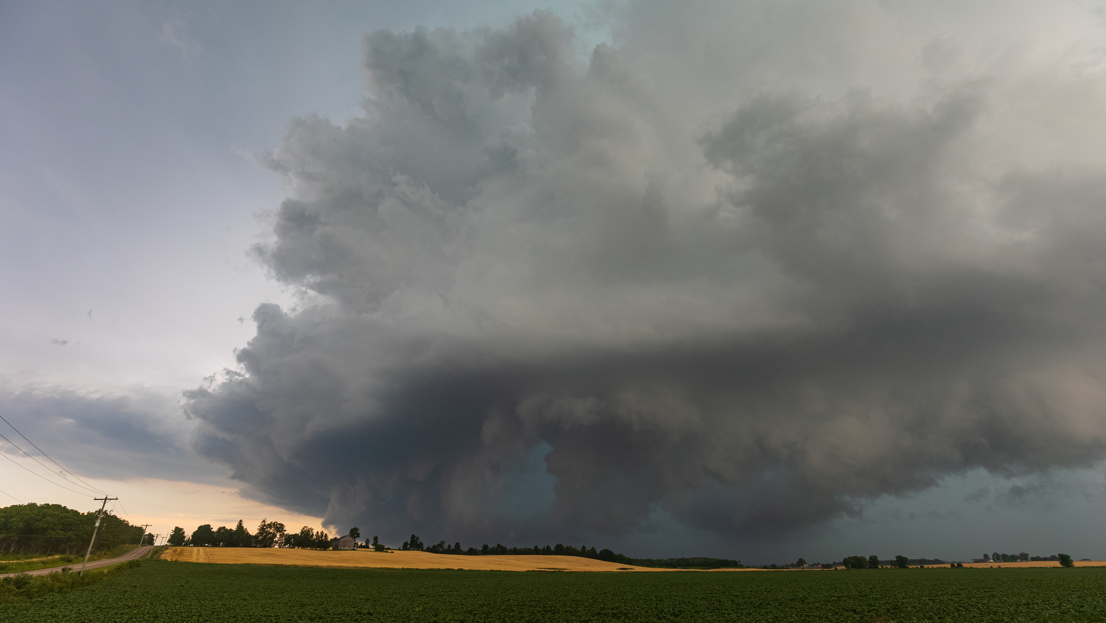
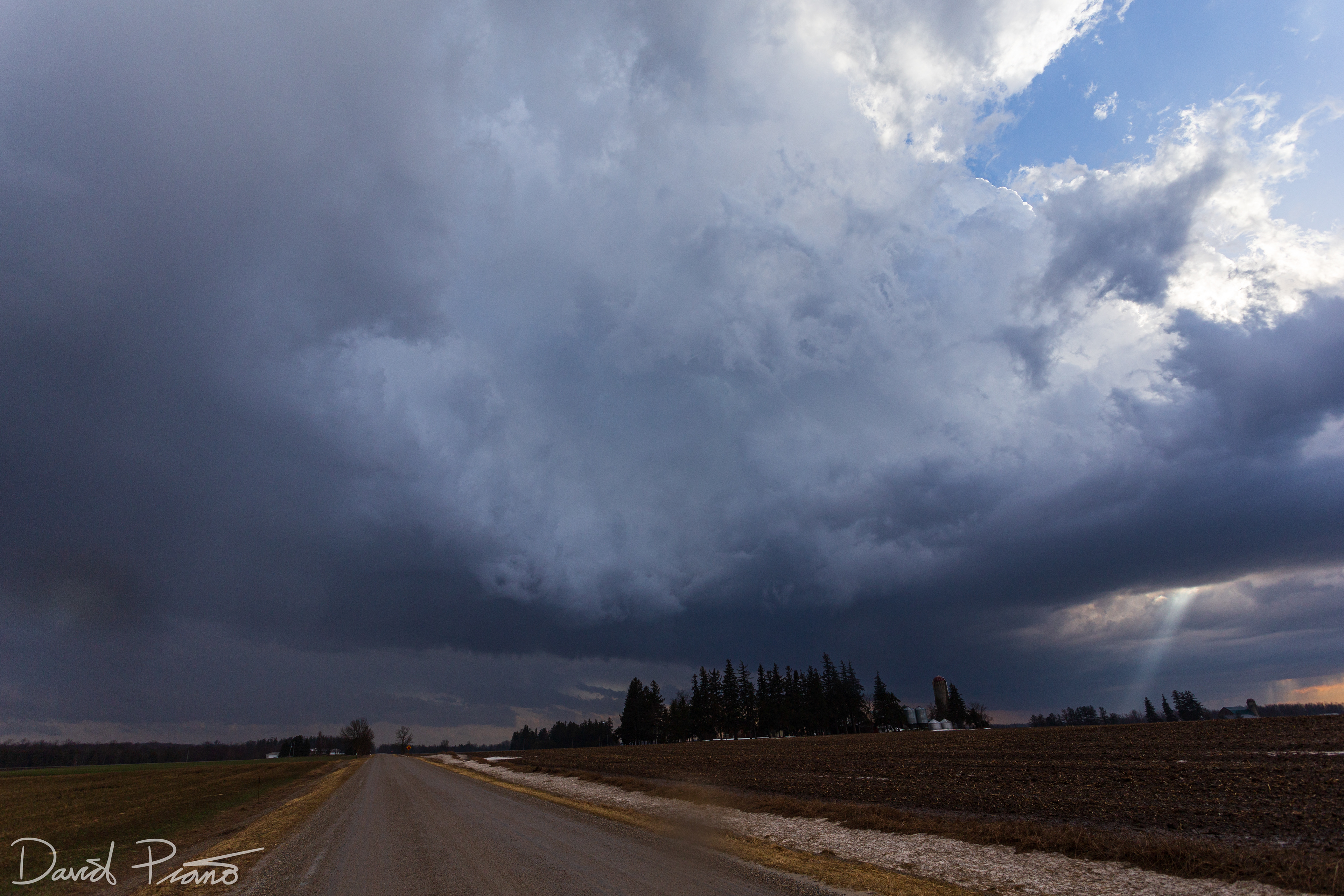
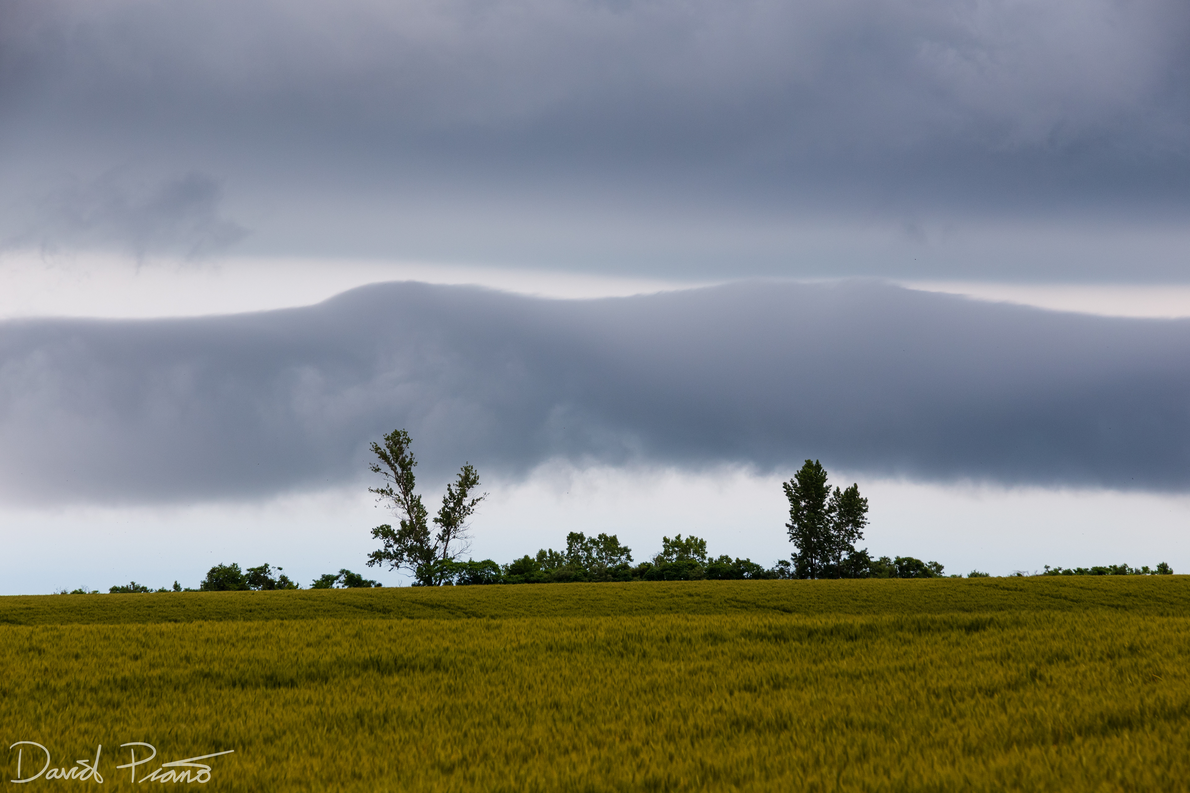
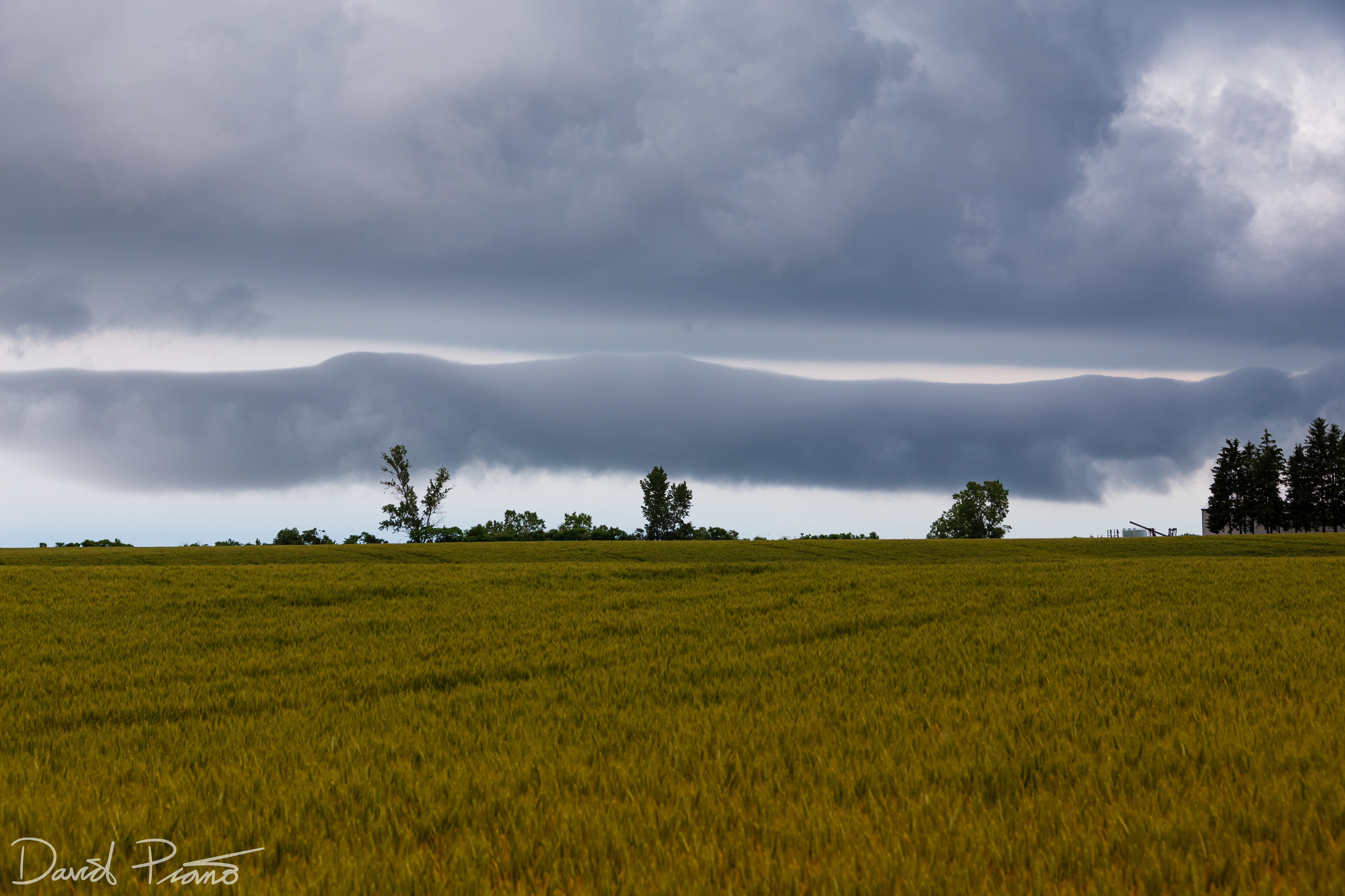
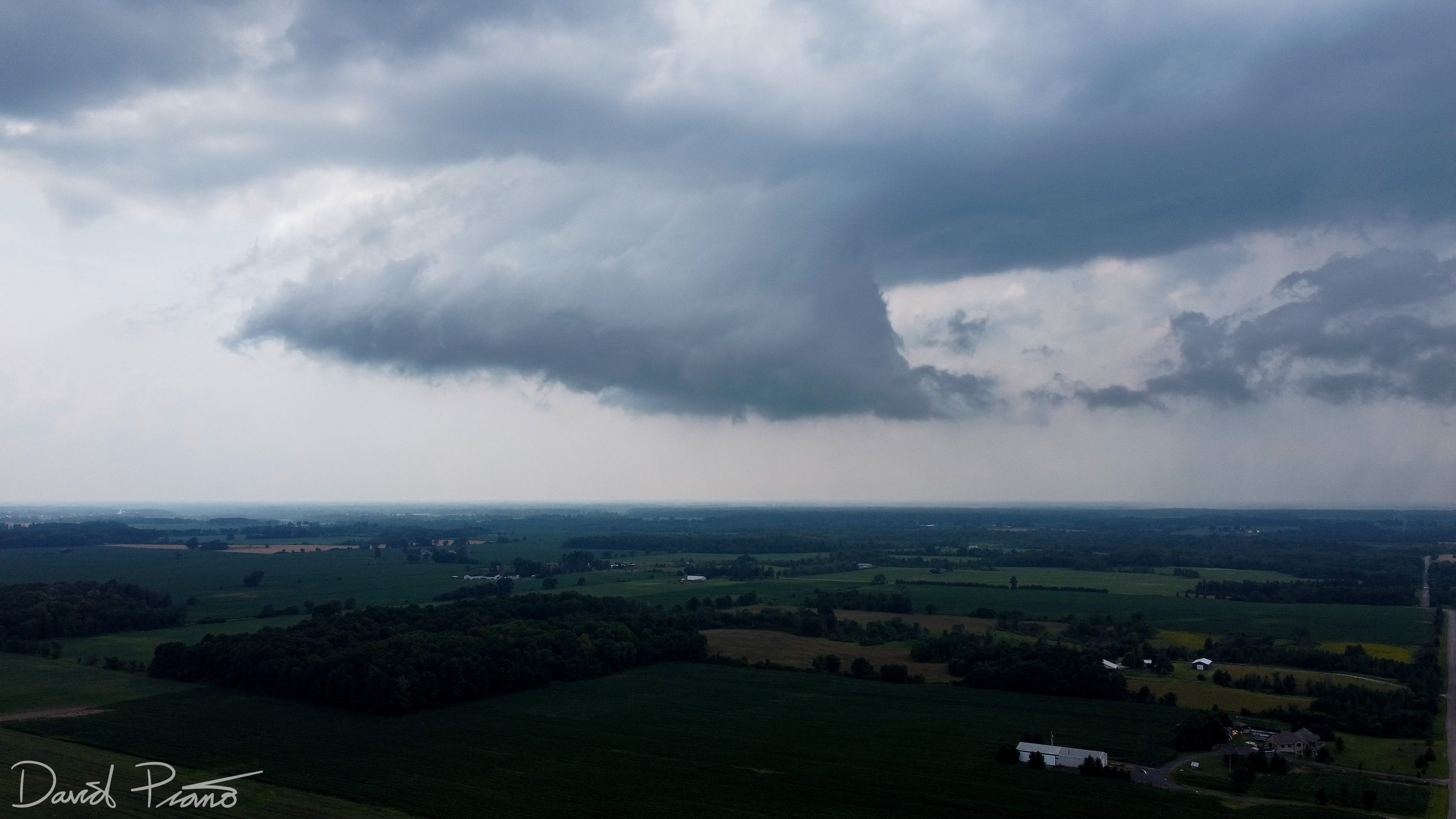
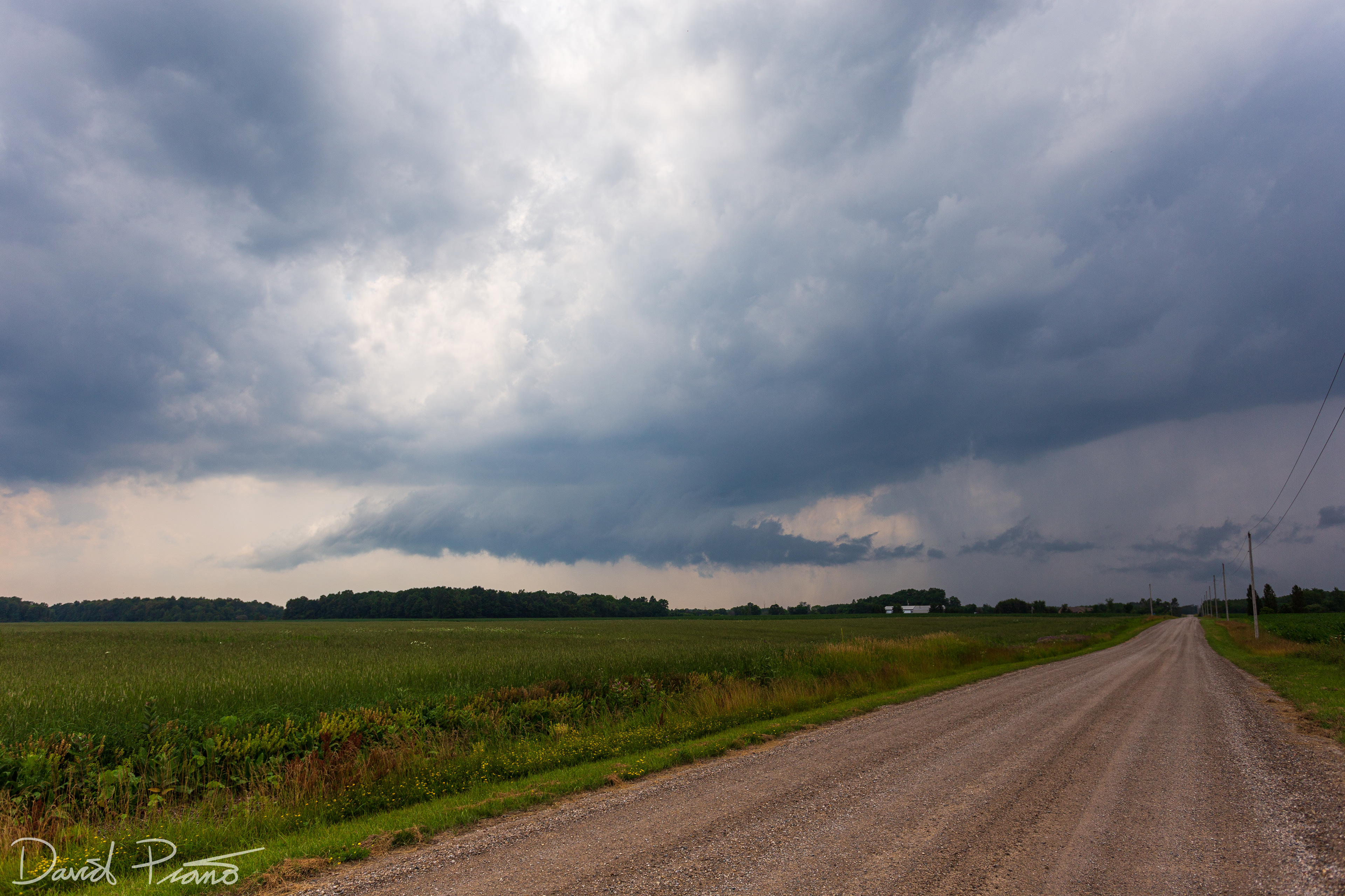
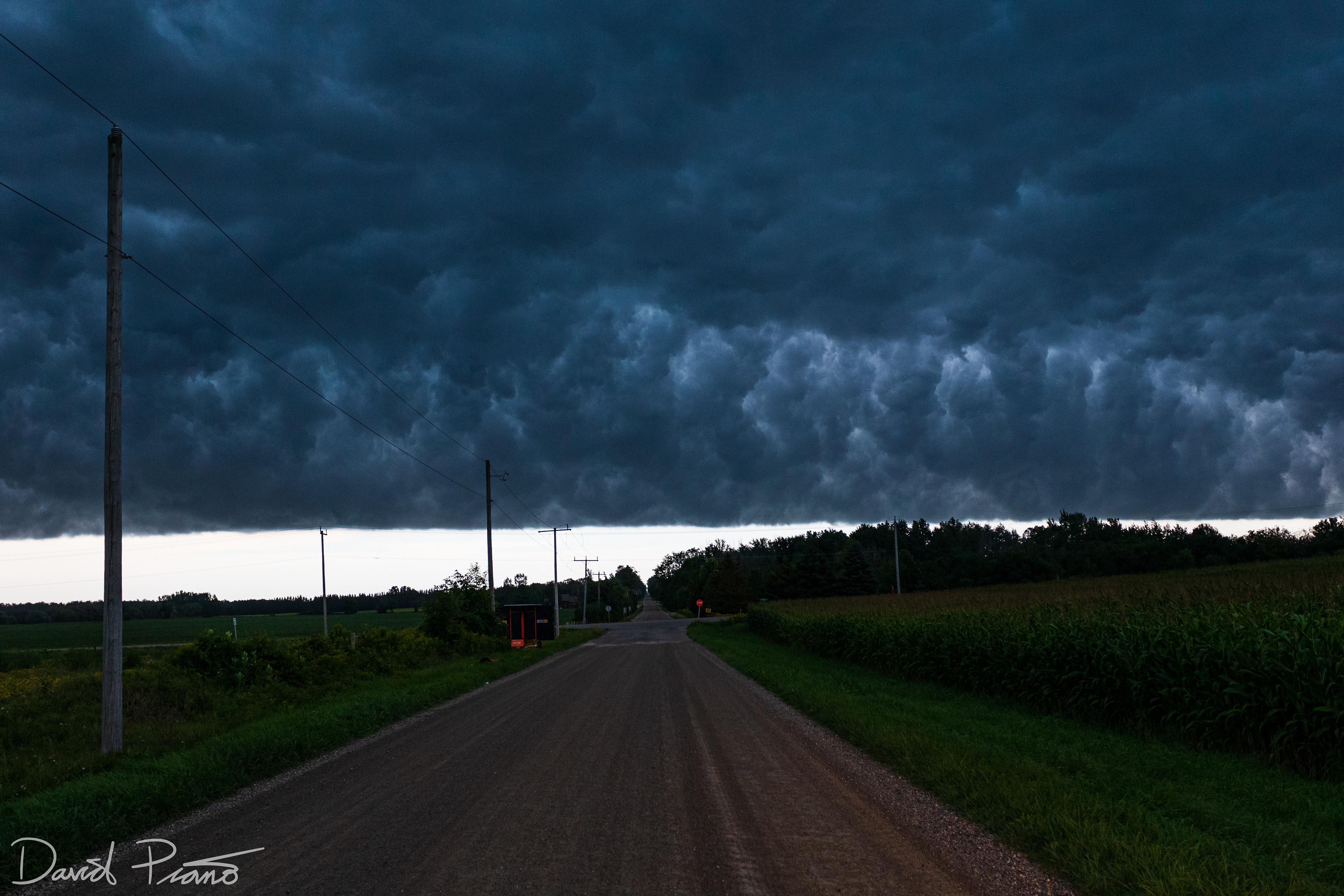
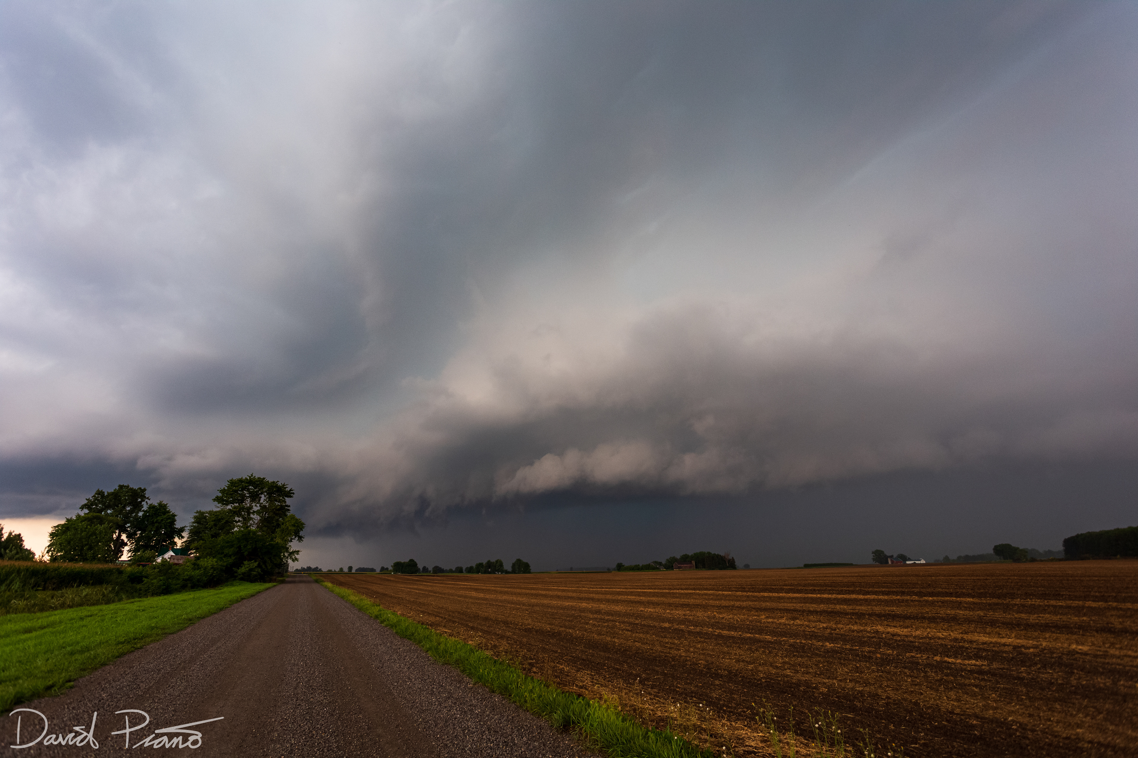
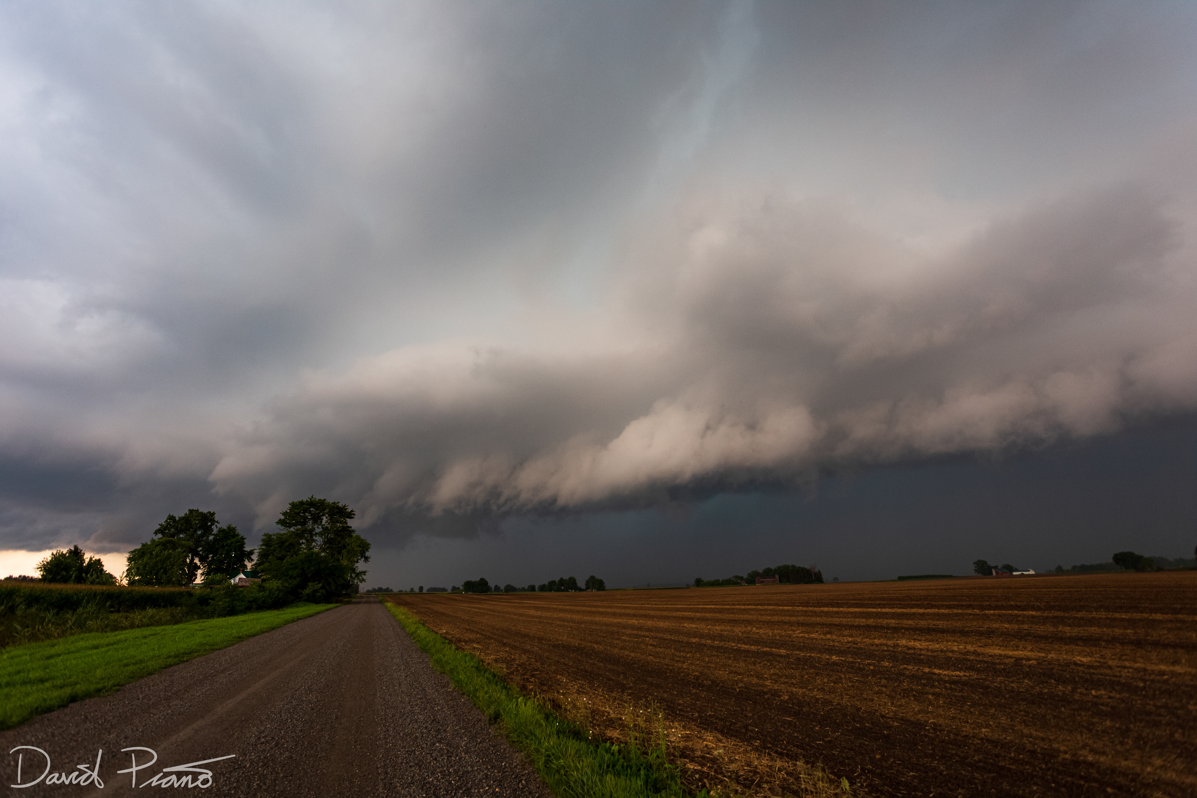
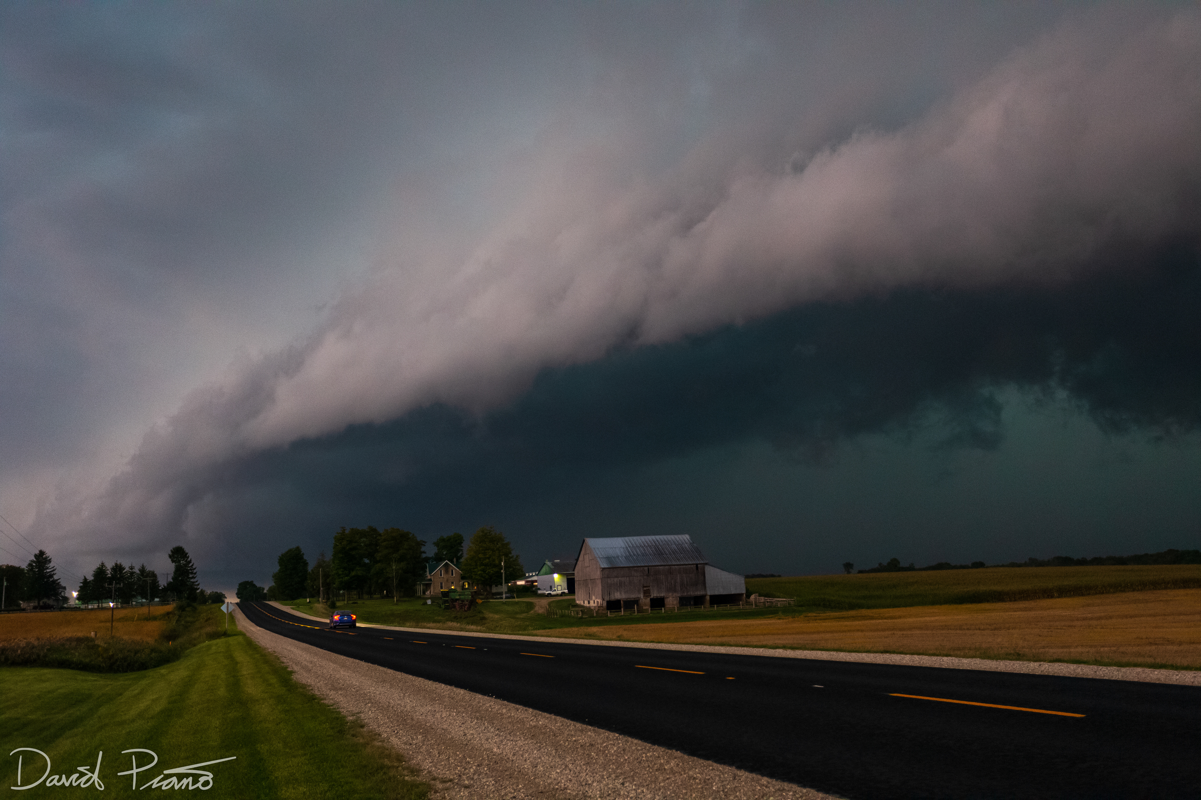
An elevated thunderstorm approaches Ingersoll
An elevated thunderstorm approaches Ingersoll
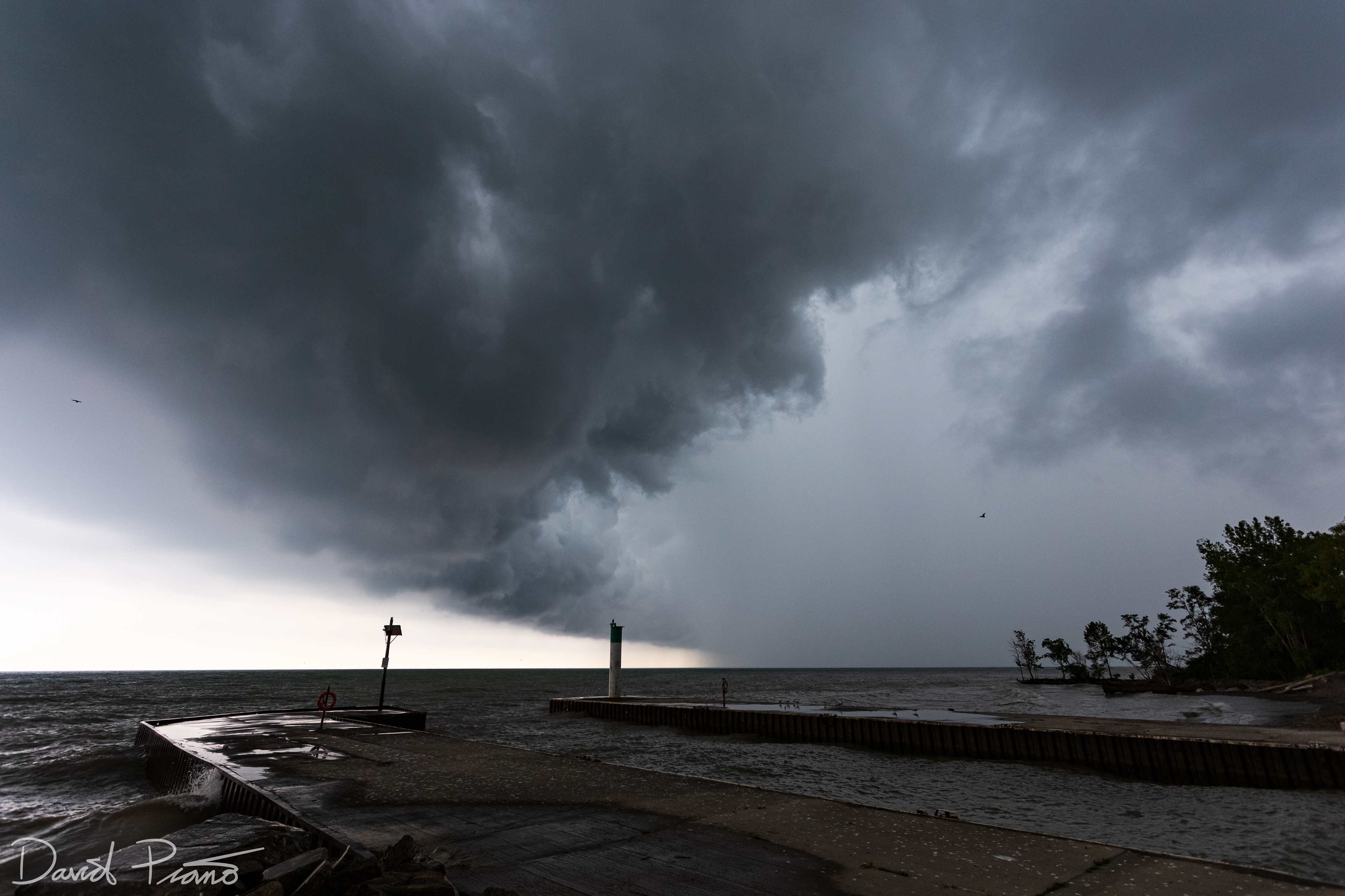
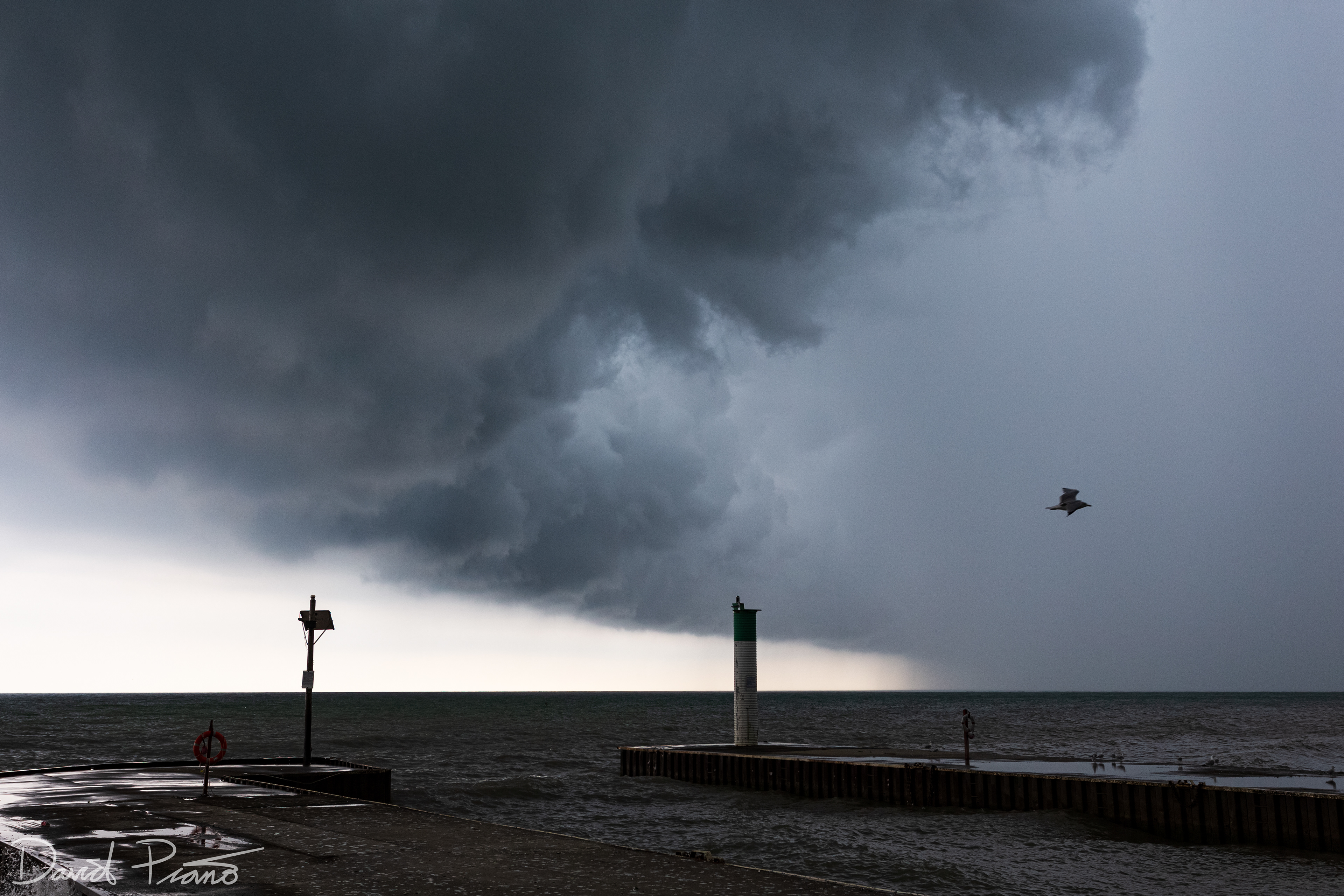
This roll cloud formed over Lake Erie as cold t-storm outflow surged over the water
This roll cloud formed over Lake Erie as cold t-storm outflow surged over the water
This roll cloud formed over Lake Erie as cold t-storm outflow surged over the water
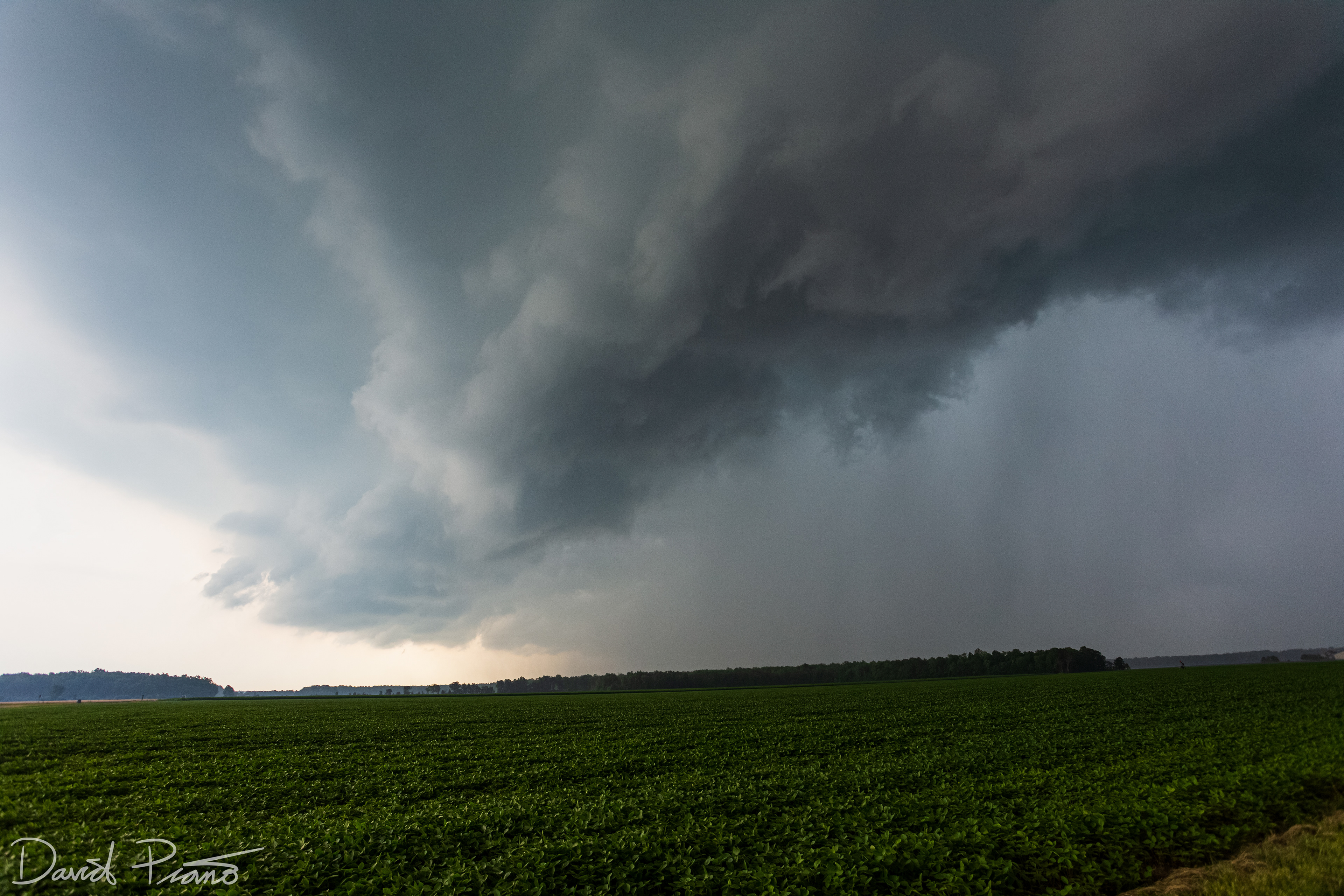
July 7 - Distant cumulonimbus near Newbury
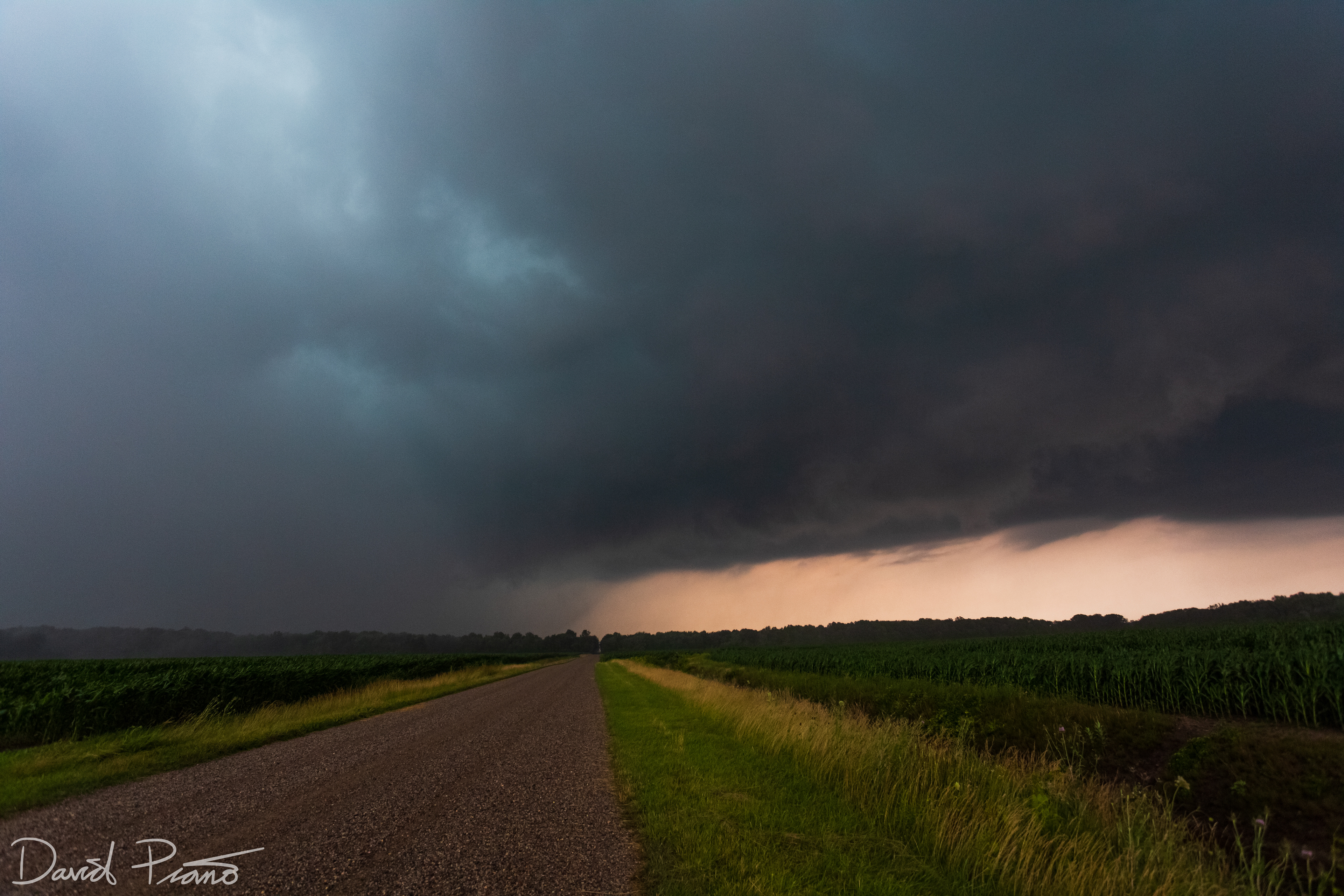
July 7 - Drone view of a decaying supercell thunderstorm near Wardsville
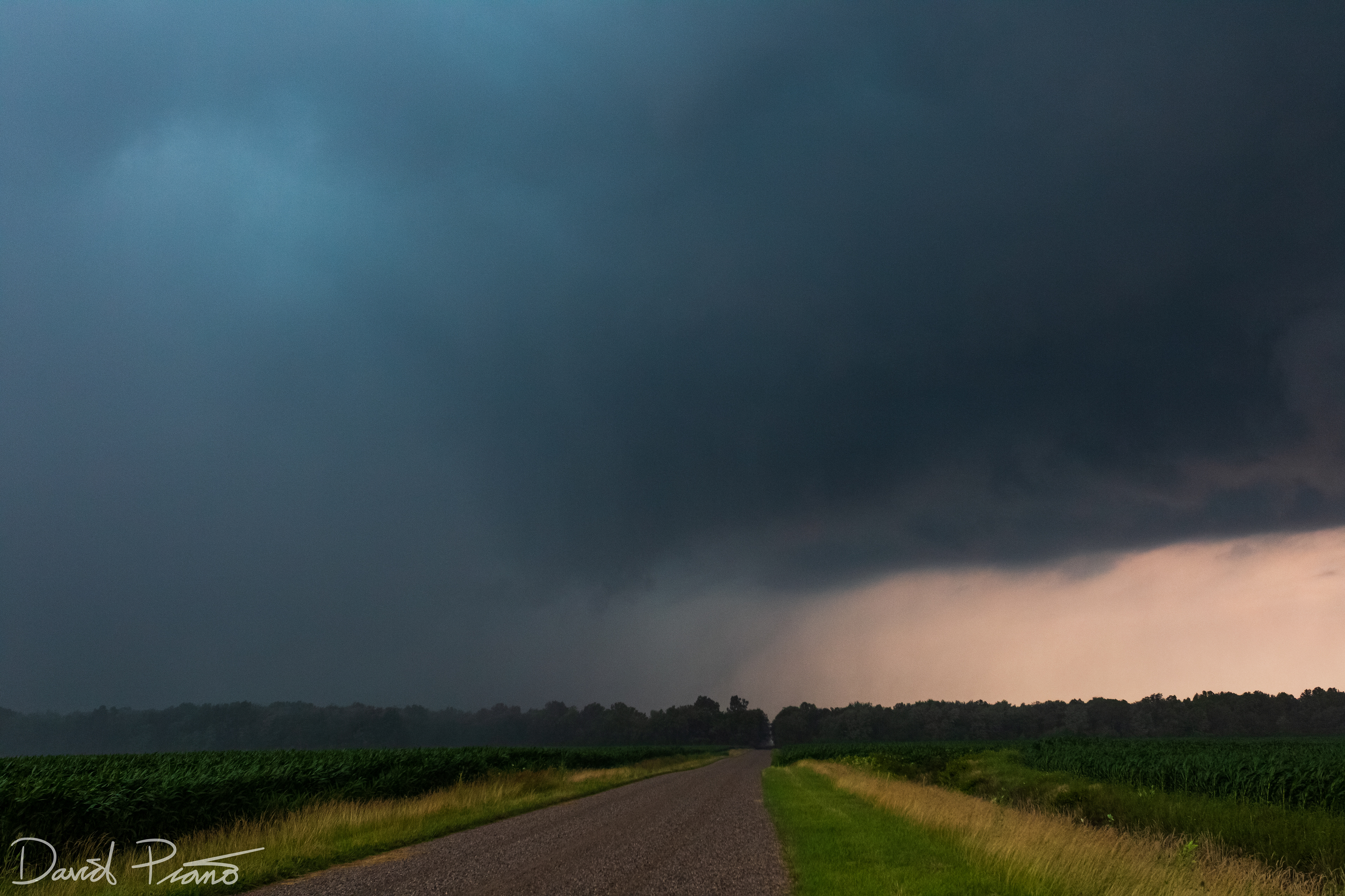
July 7 - Weakening supercell thunderstorm near Wardsville
July 7 - Weakening supercell thunderstorm near Wardsville
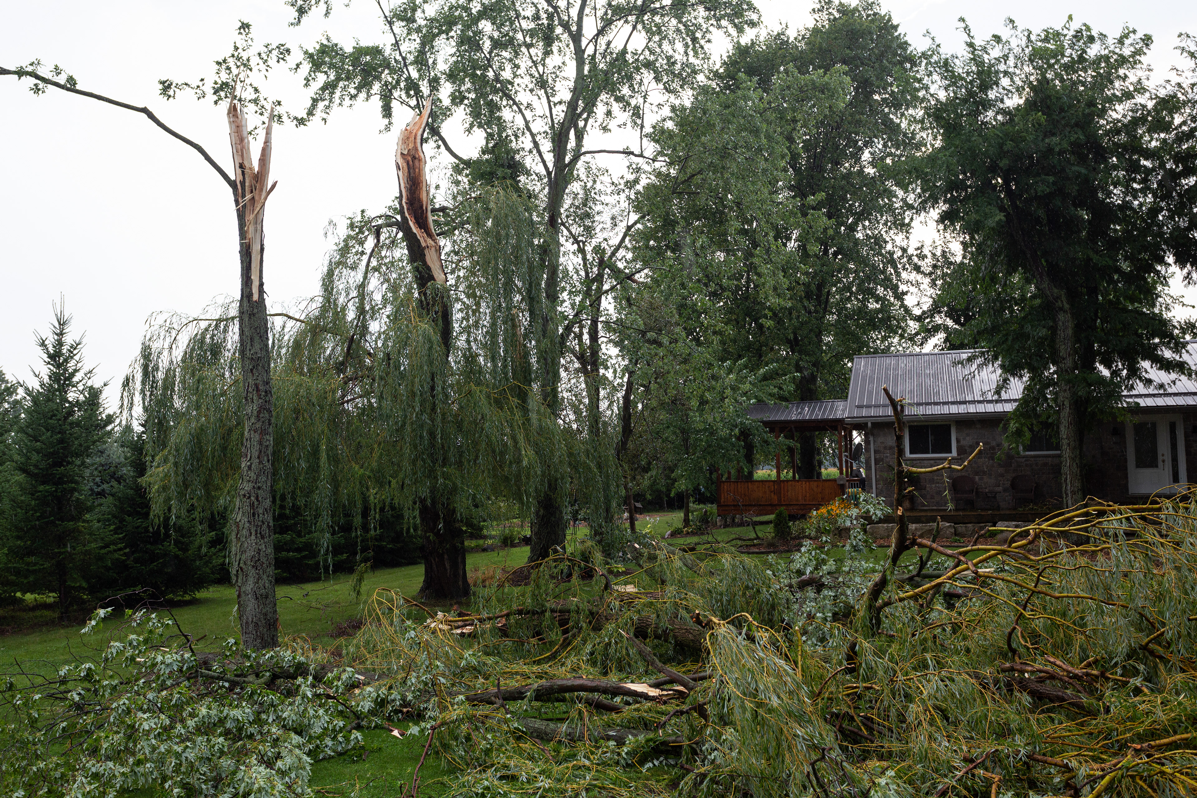
July 7 - A supercell thunderstorm traverses across Lambton County causing swaths of wind damage
July 7 - A supercell thunderstorm traverses across Lambton County causing swaths of wind damage
July 7 - A supercell thunderstorm traverses across Lambton County causing swaths of wind damage
July 7 - A supercell thunderstorm traverses across Lambton County causing swaths of wind damage
July 7 - A supercell thunderstorm traverses across Lambton County causing swaths of wind damage
July 7 - A supercell thunderstorm traverses across Lambton County causing swaths of wind damage
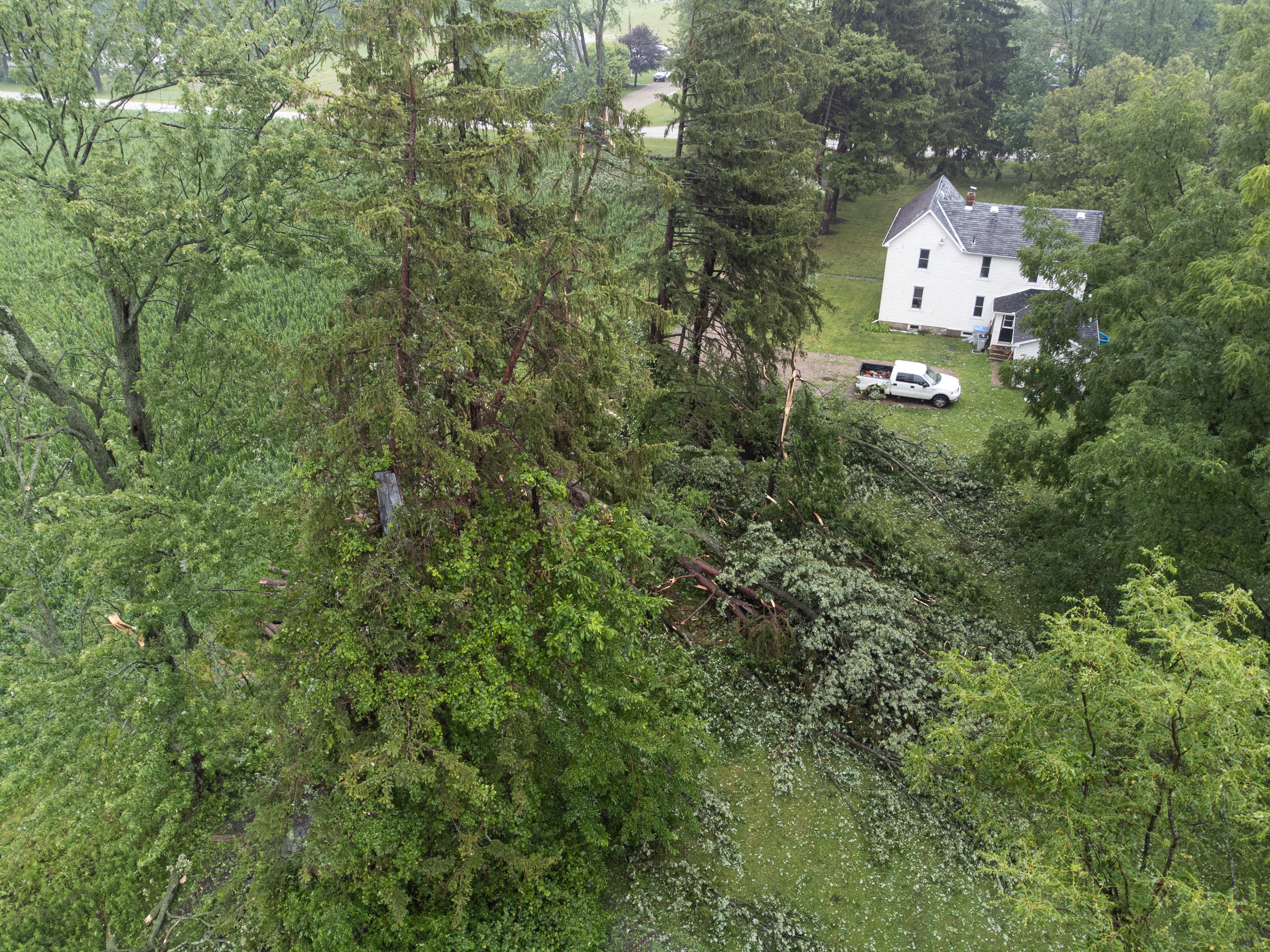
July 7 - Aerial view of downburst damage near Cairo in Lambton County from supercell RFD winds
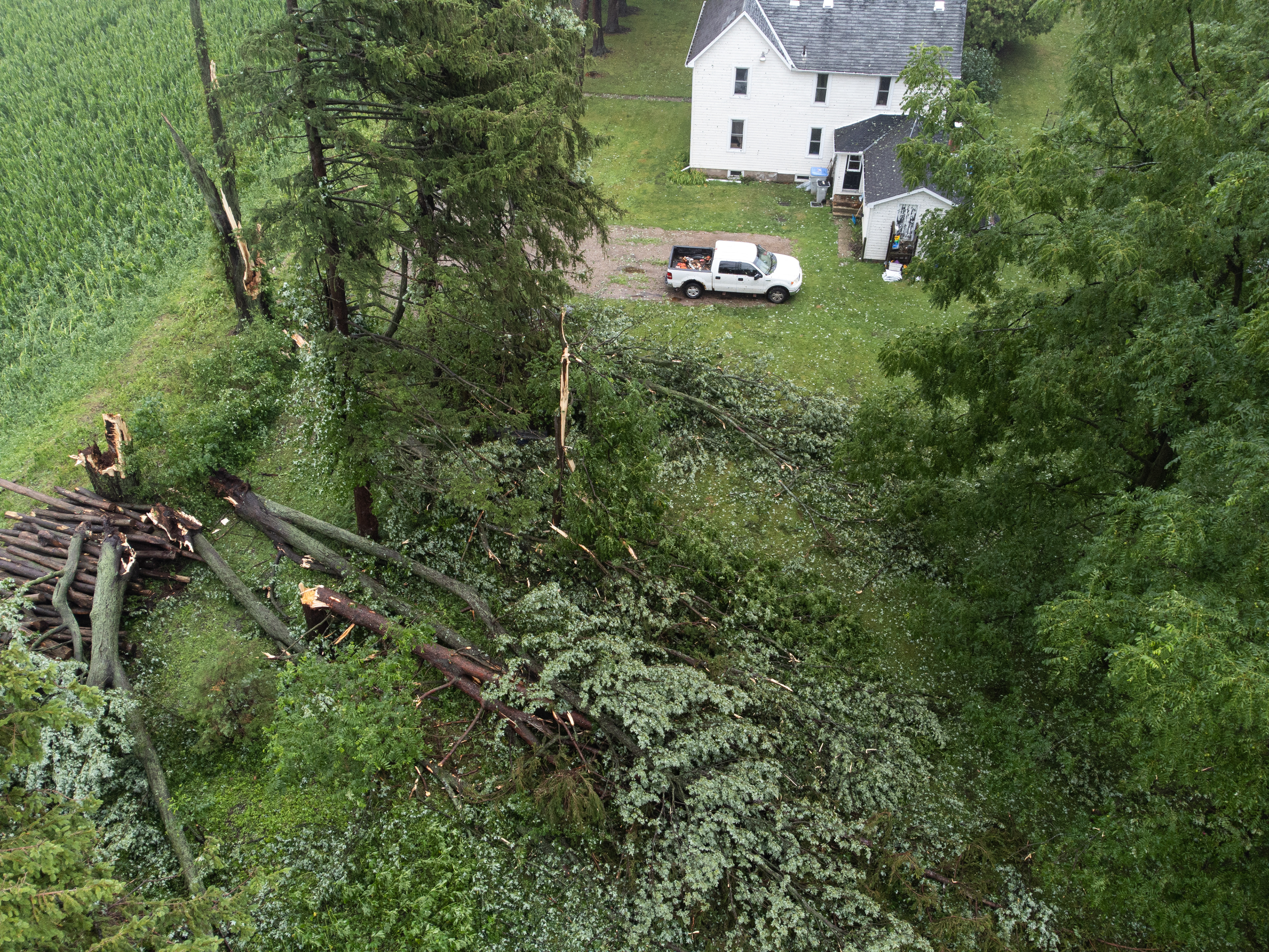
July 7 - Aerial view of downburst damage near Cairo in Lambton County from supercell RFD winds
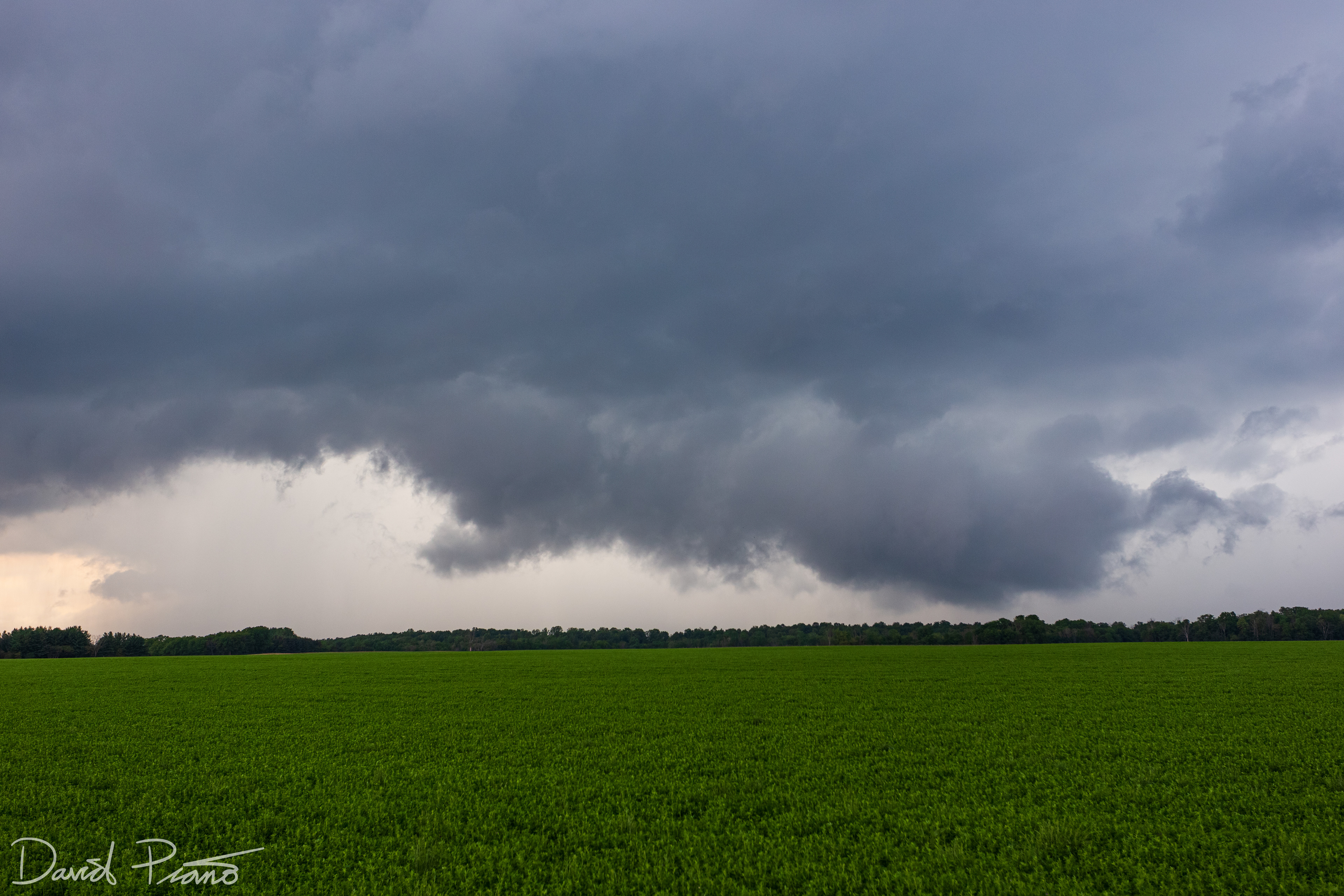
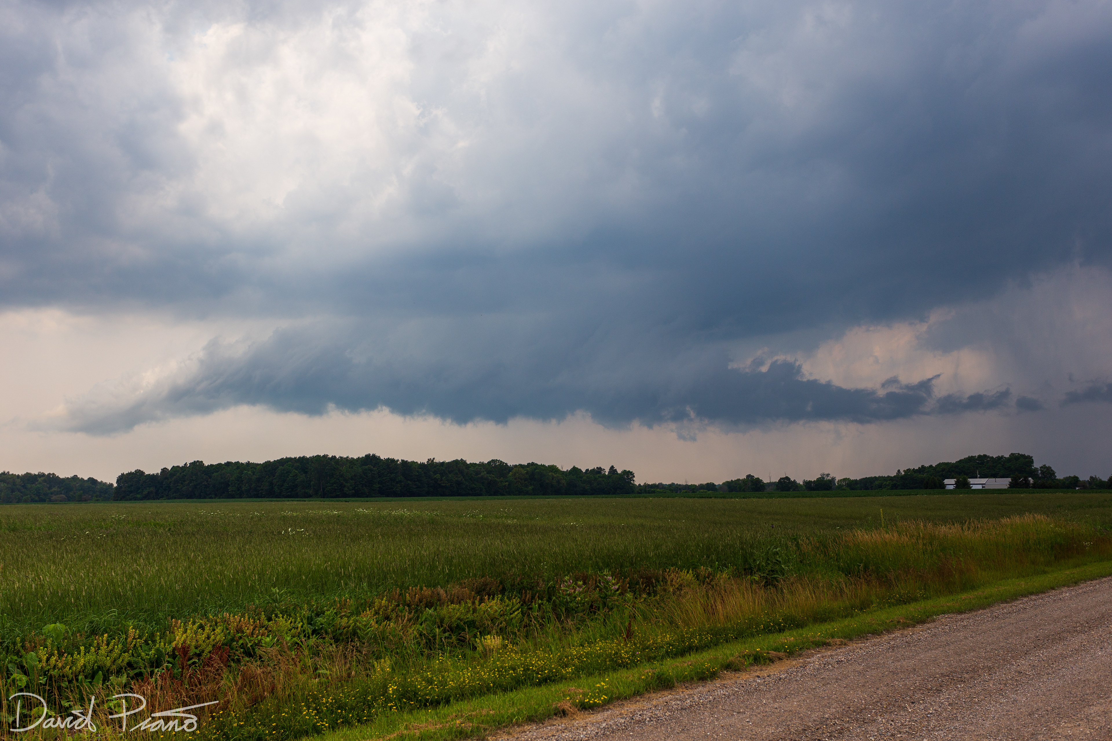
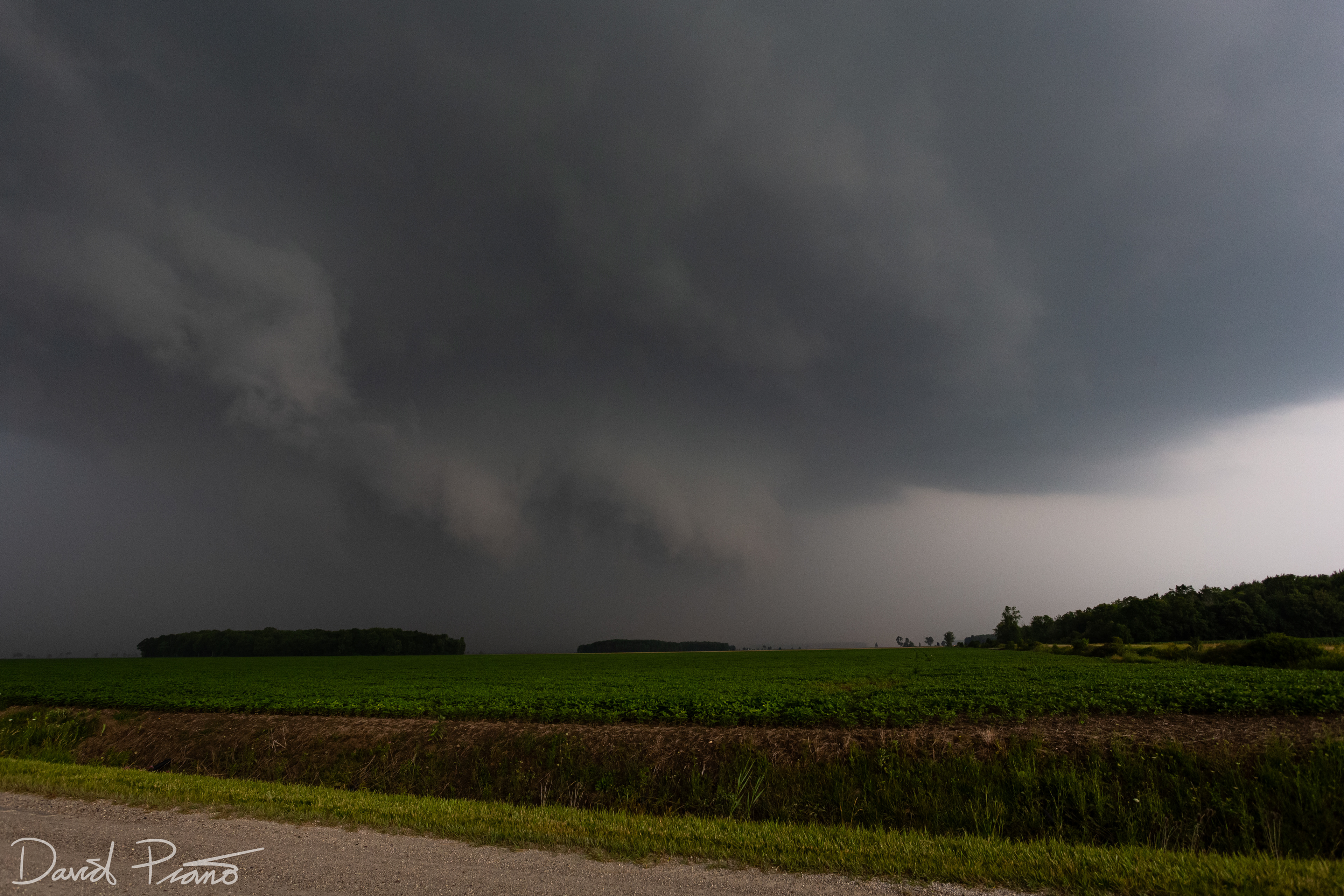
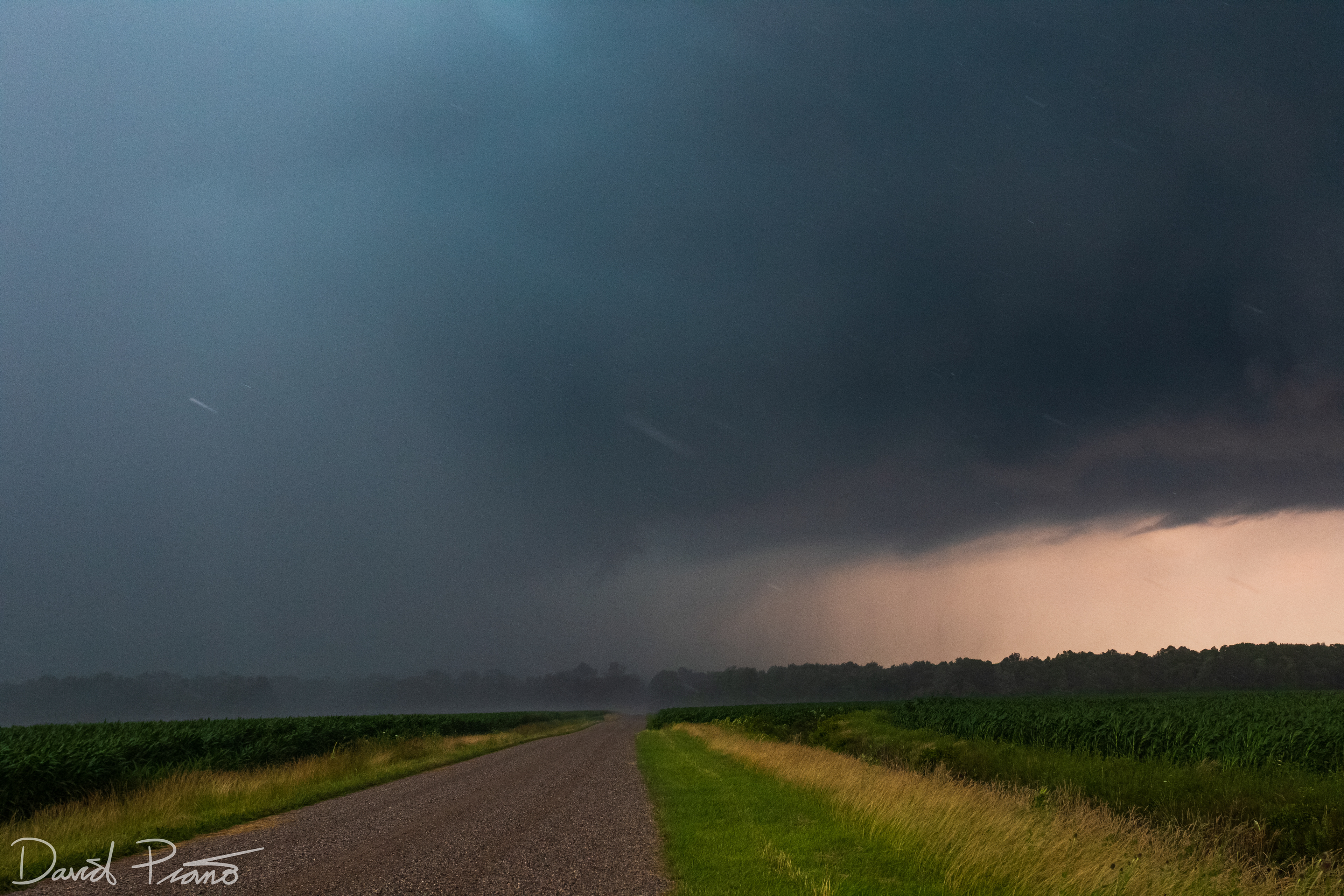
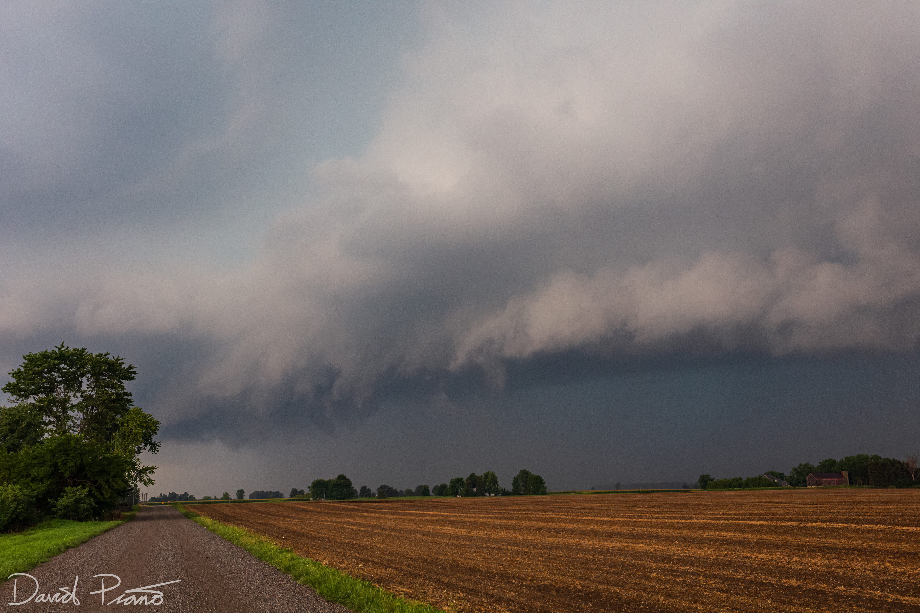
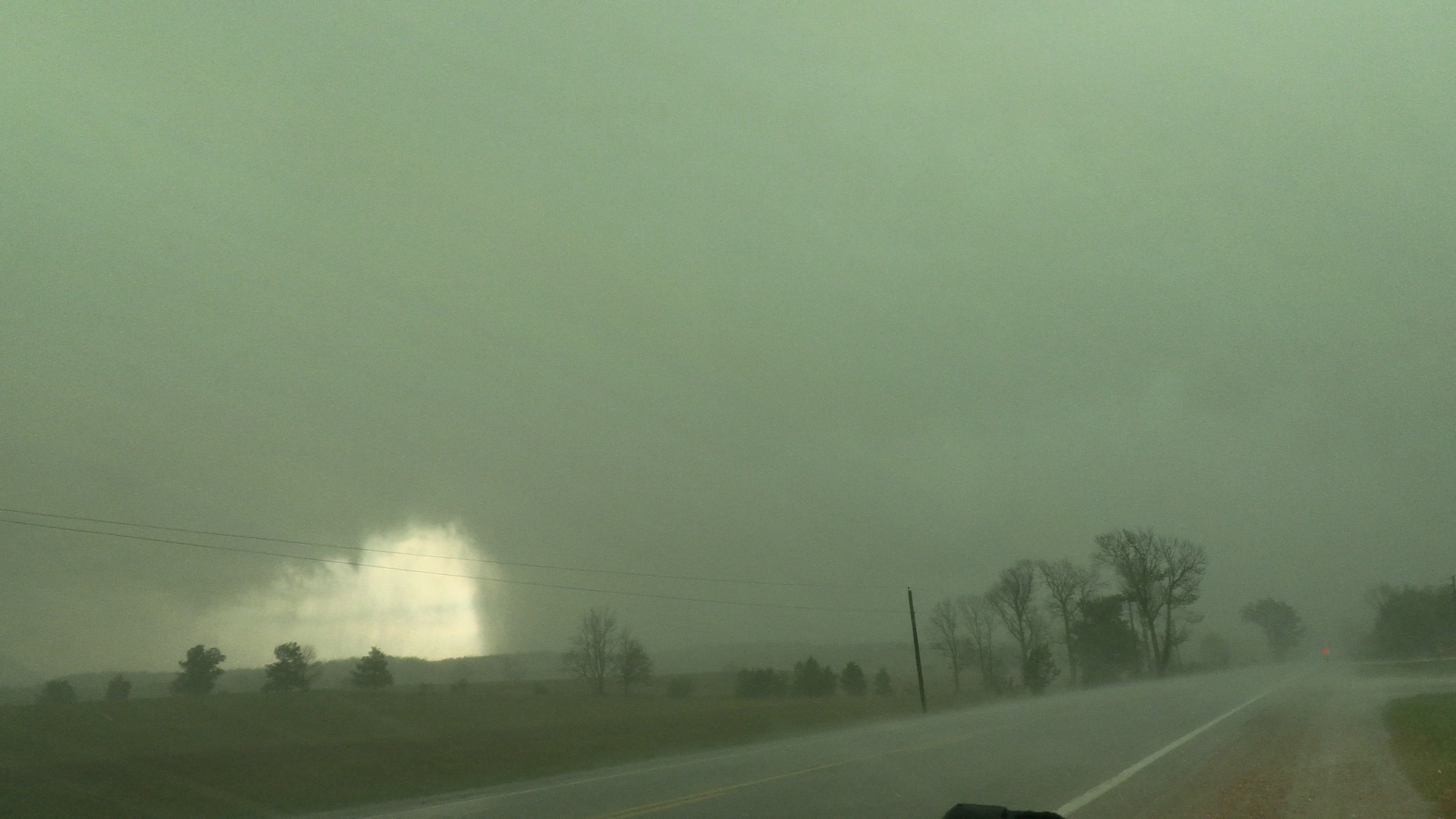
Non-severe thunderstorm near Glencoe
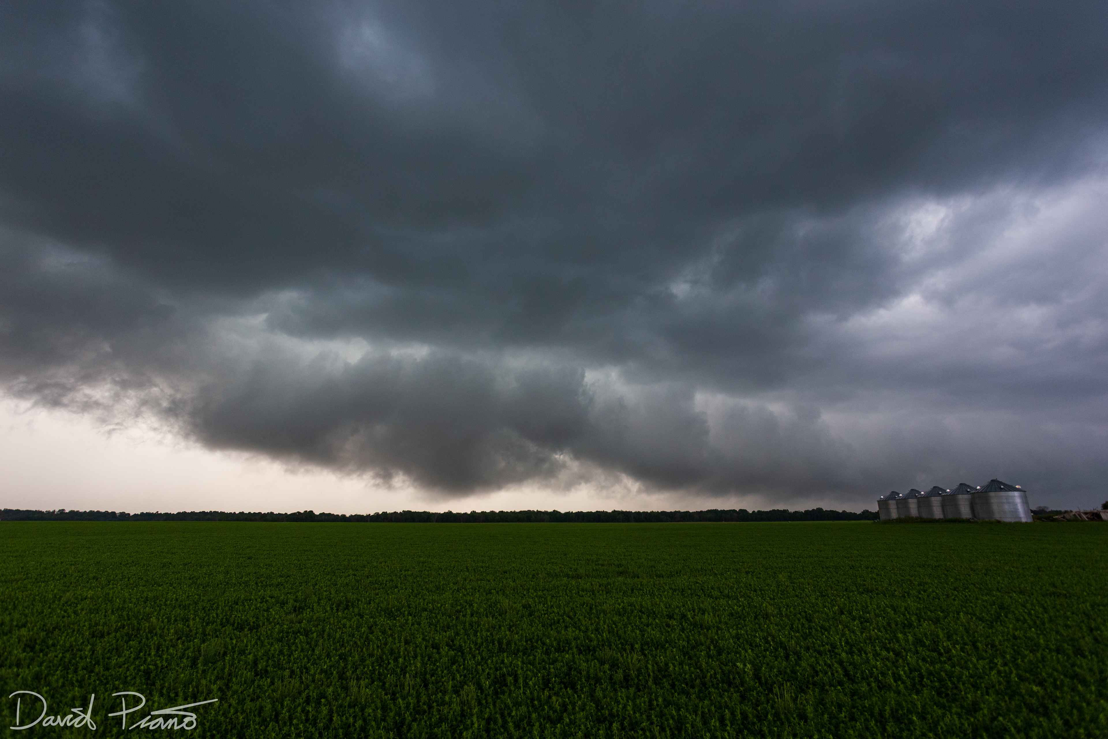
Non-severe thunderstorm near Glencoe

Non-severe thunderstorm near Glencoe
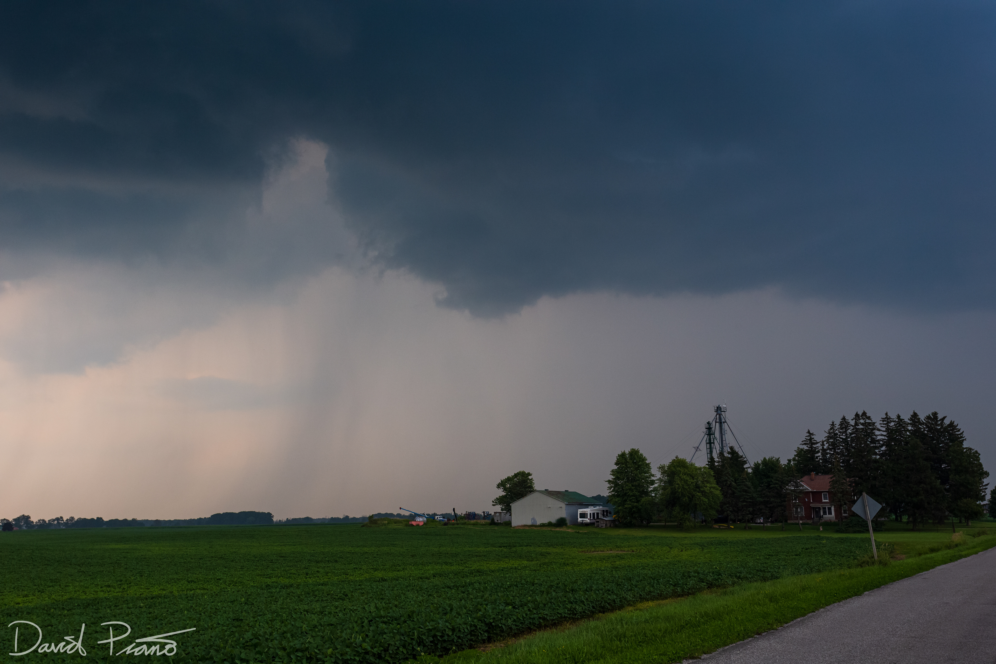
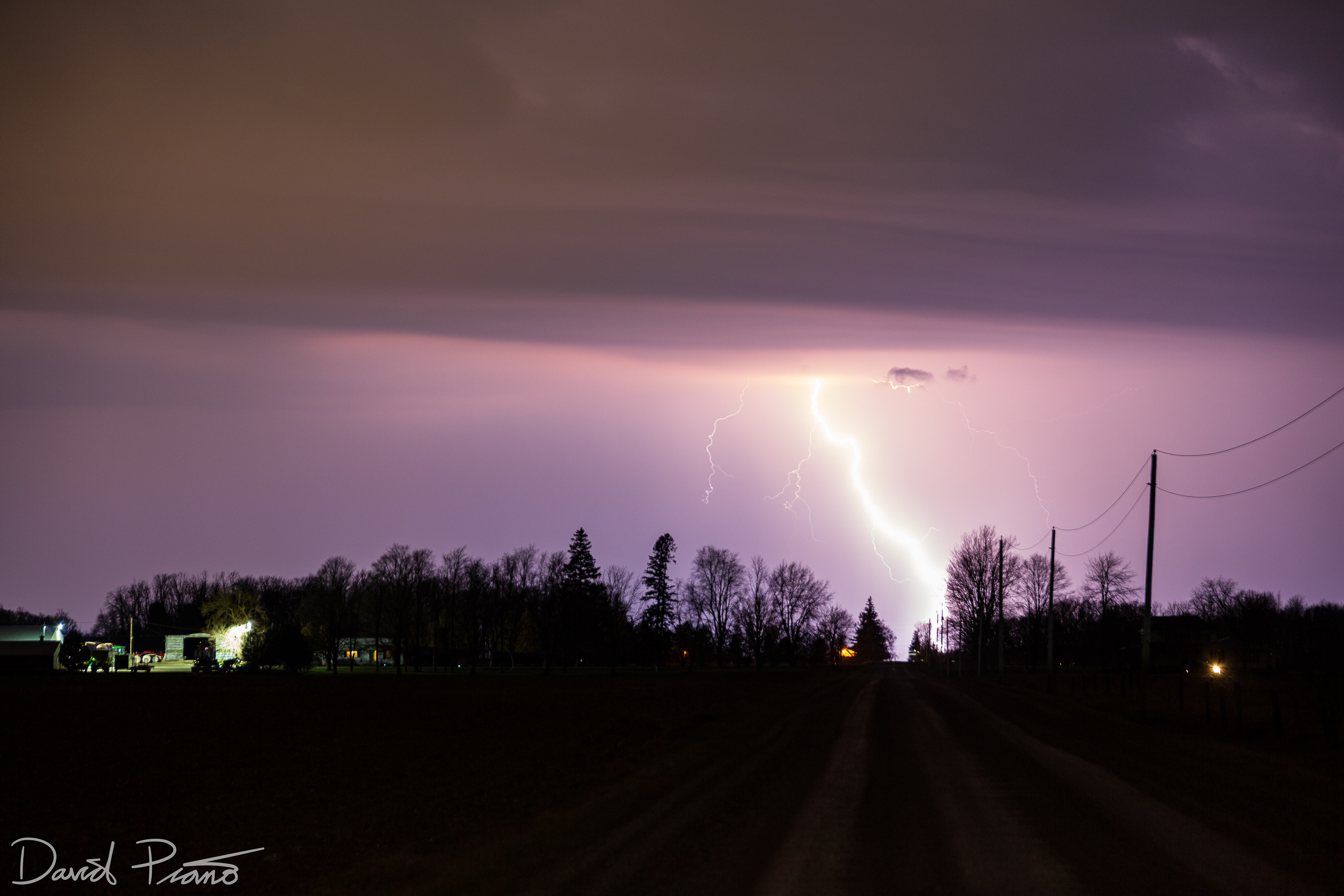
Distant CG strike in Oxford County
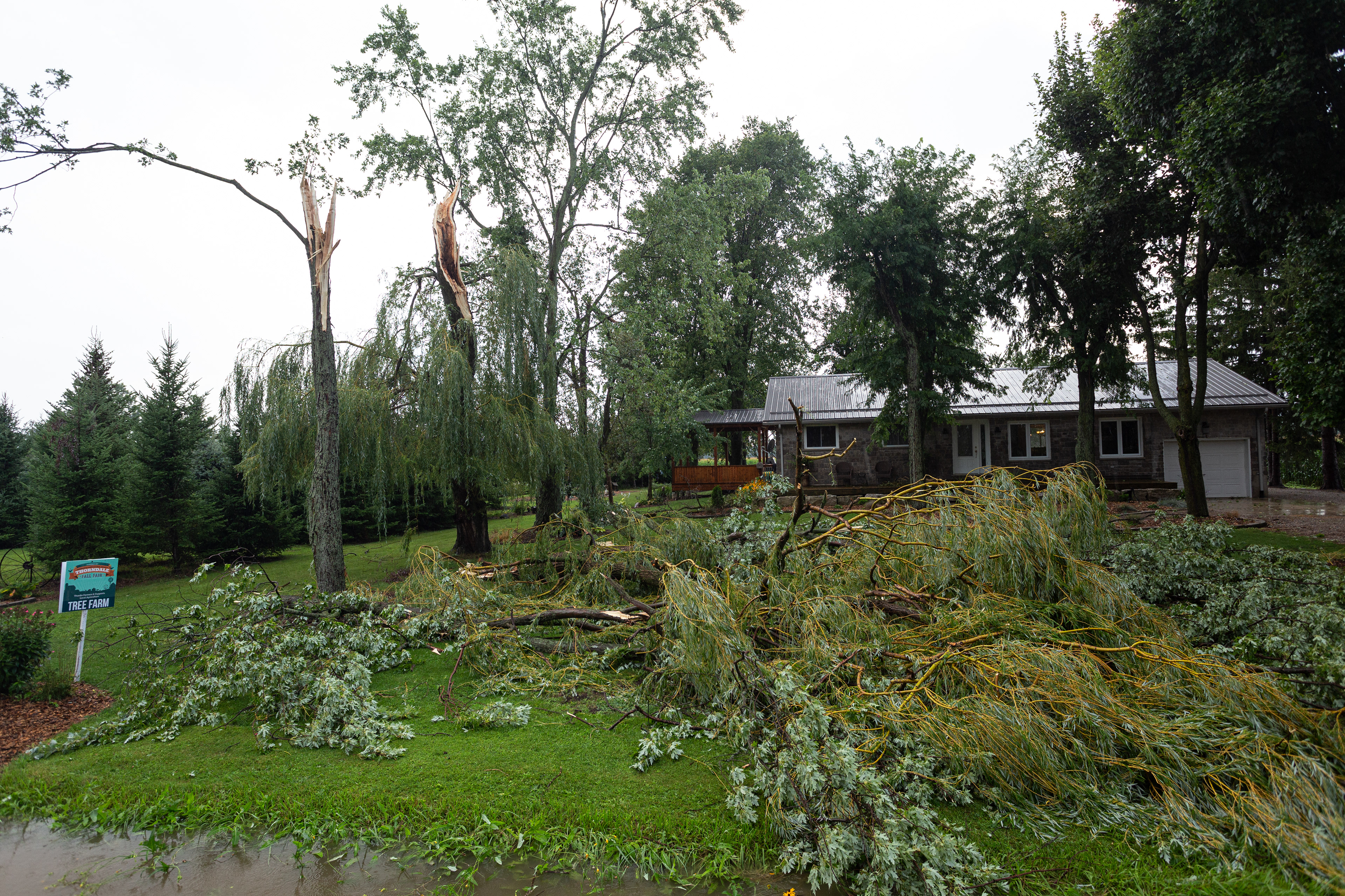
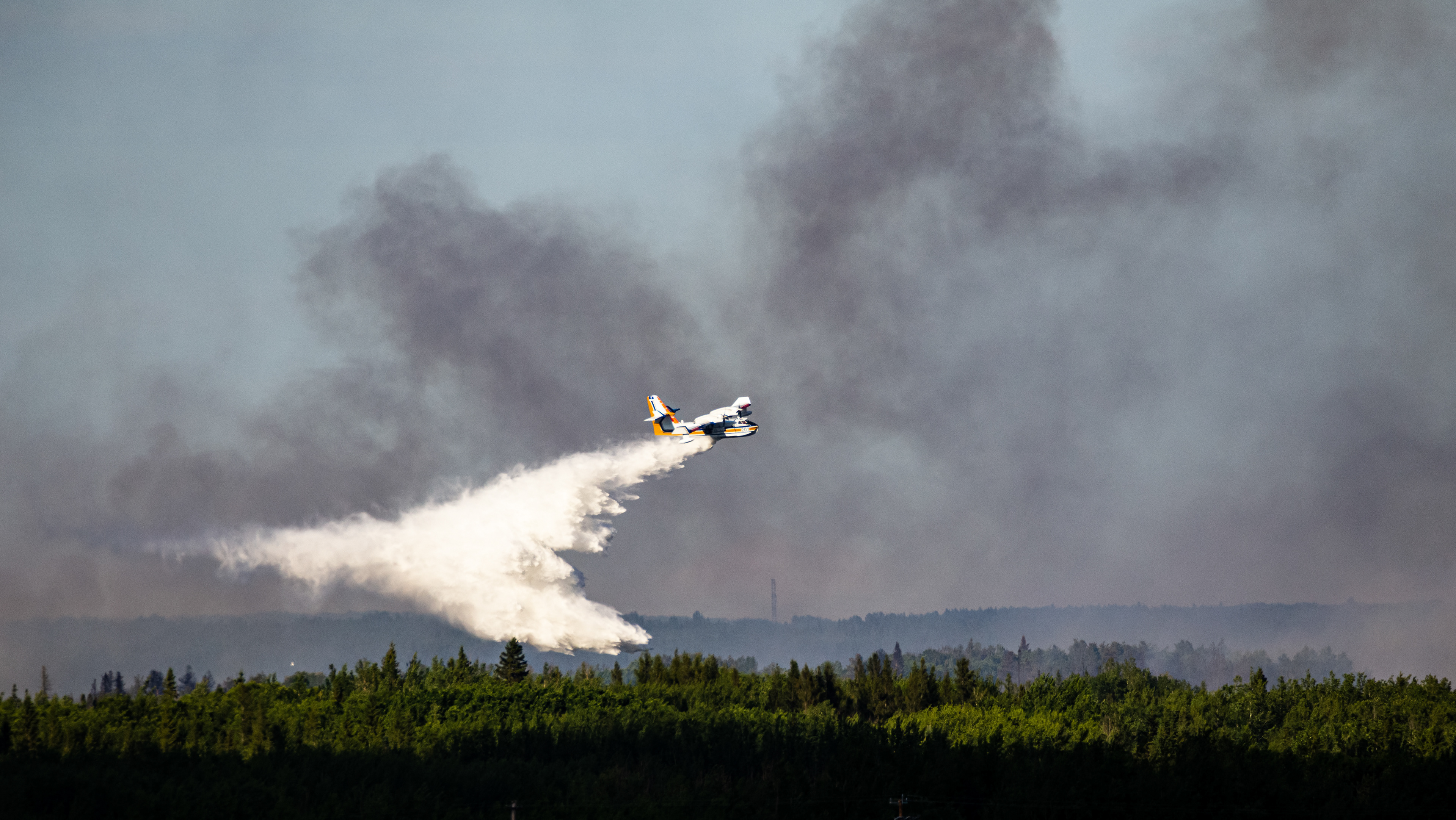
Microburst damage just NE of the London Airport
Microburst damage just NE of the London Airport
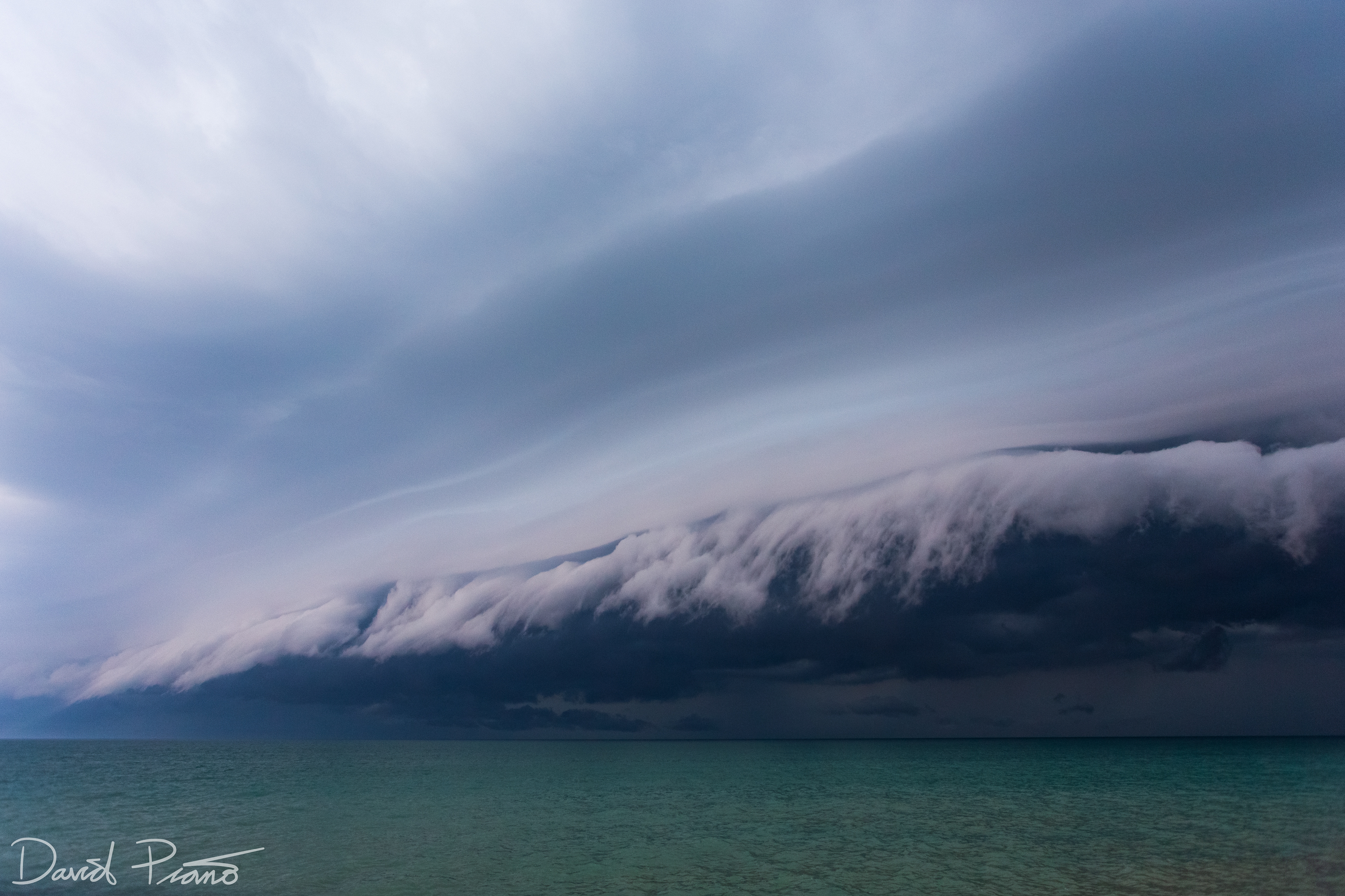
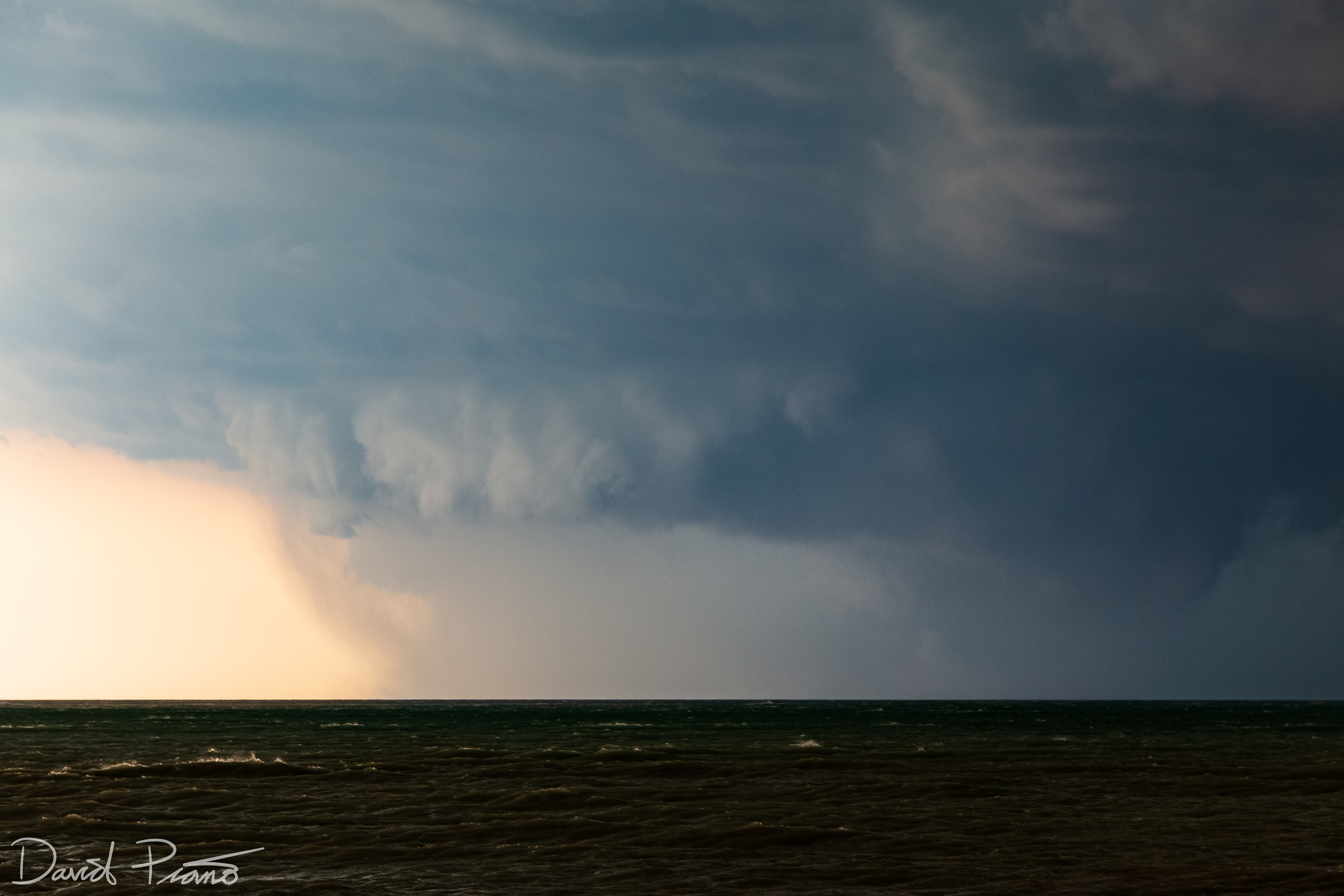
Beautiful sculpted shelf cloud rolling into Point Clark off Lake Huron -

Beautiful sculpted shelf cloud rolling into Point Clark off Lake Huron -
Beautiful sculpted shelf cloud rolling into Point Clark off Lake Huron -
Beautiful sculpted shelf cloud rolling into Point Clark off Lake Huron -
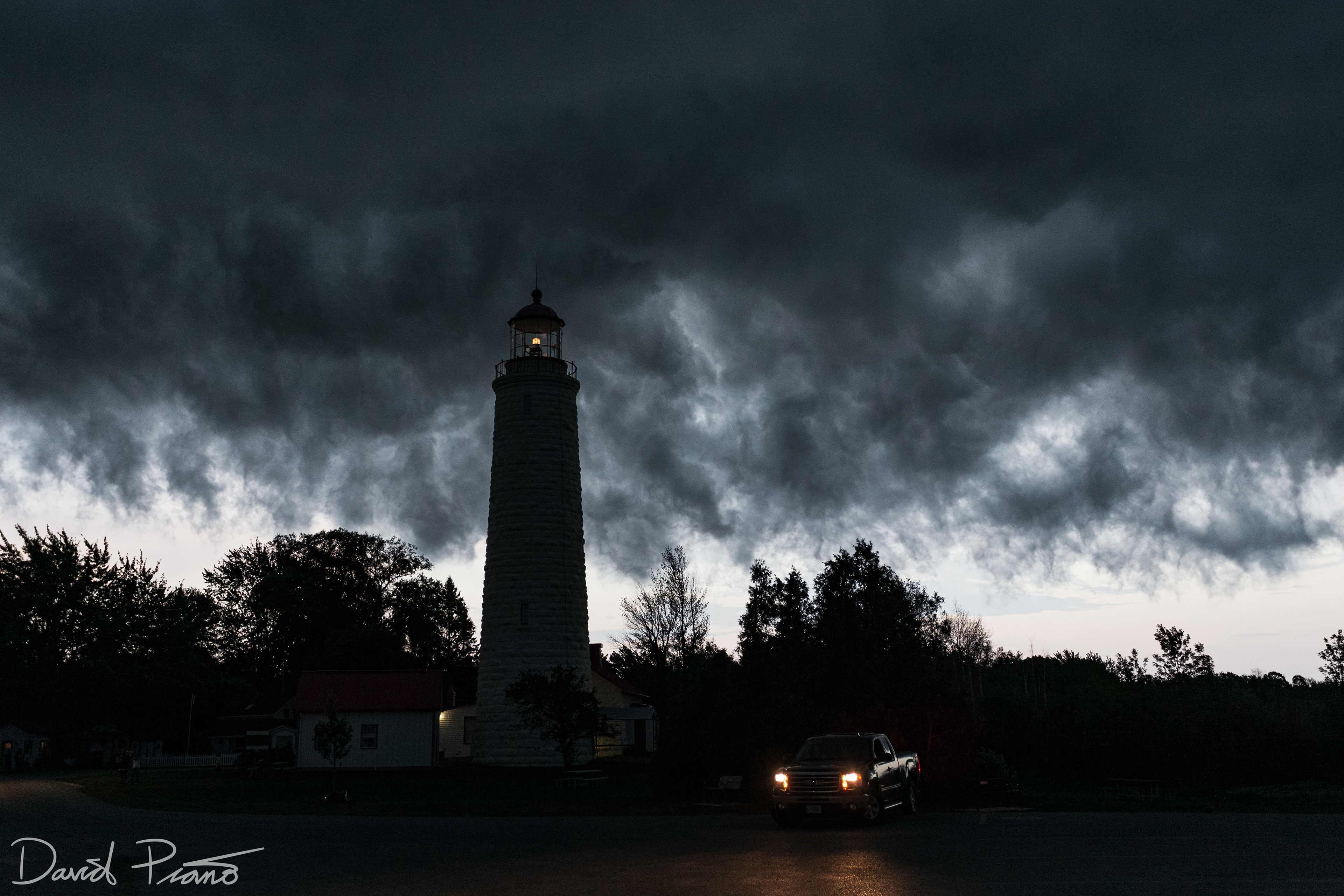
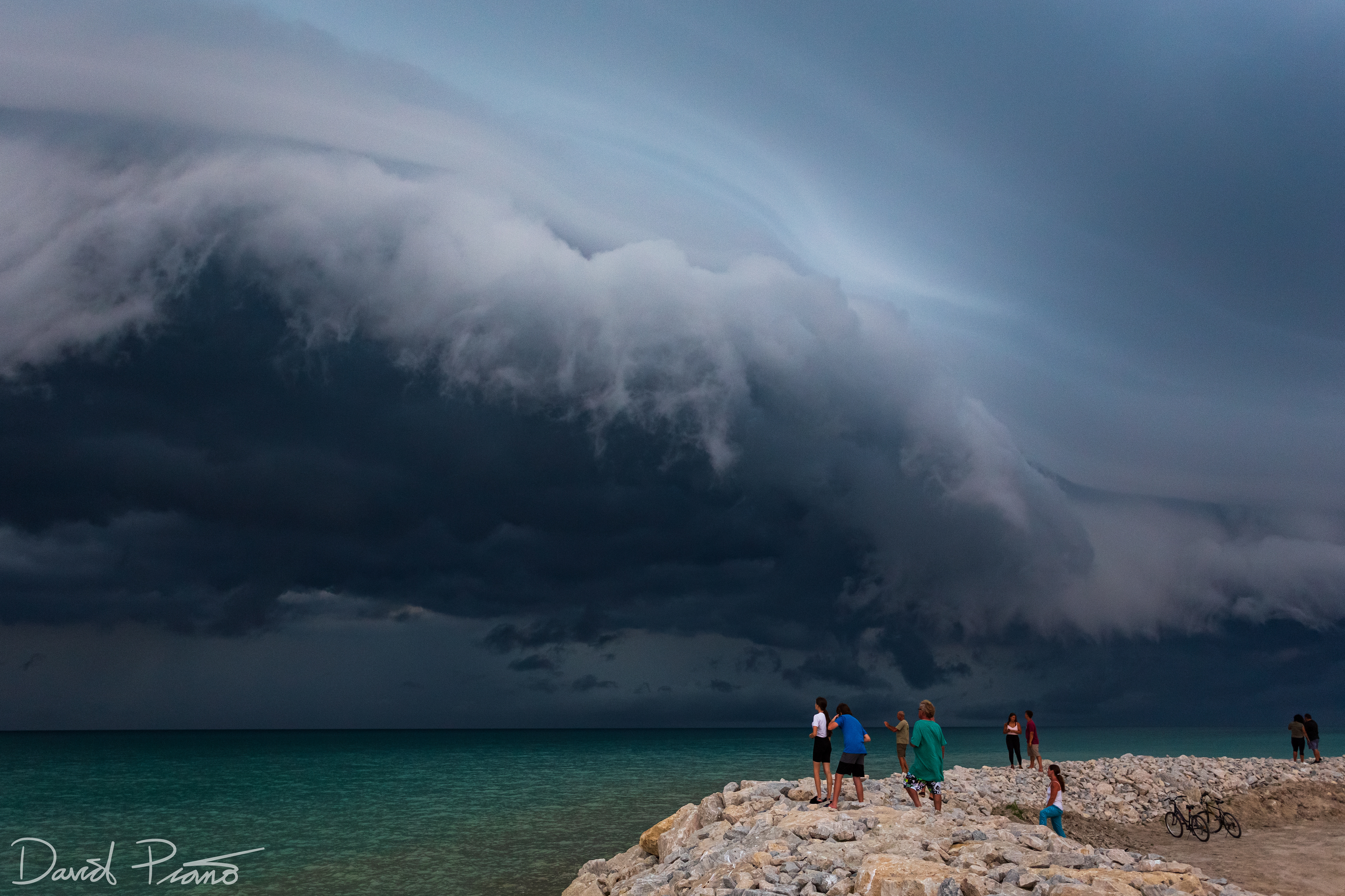
Point Clark Lighthouse in the "whale's mouth" of a strong thunderstorm
A compact thunderstorm unleashes a damaging microburst near Varna
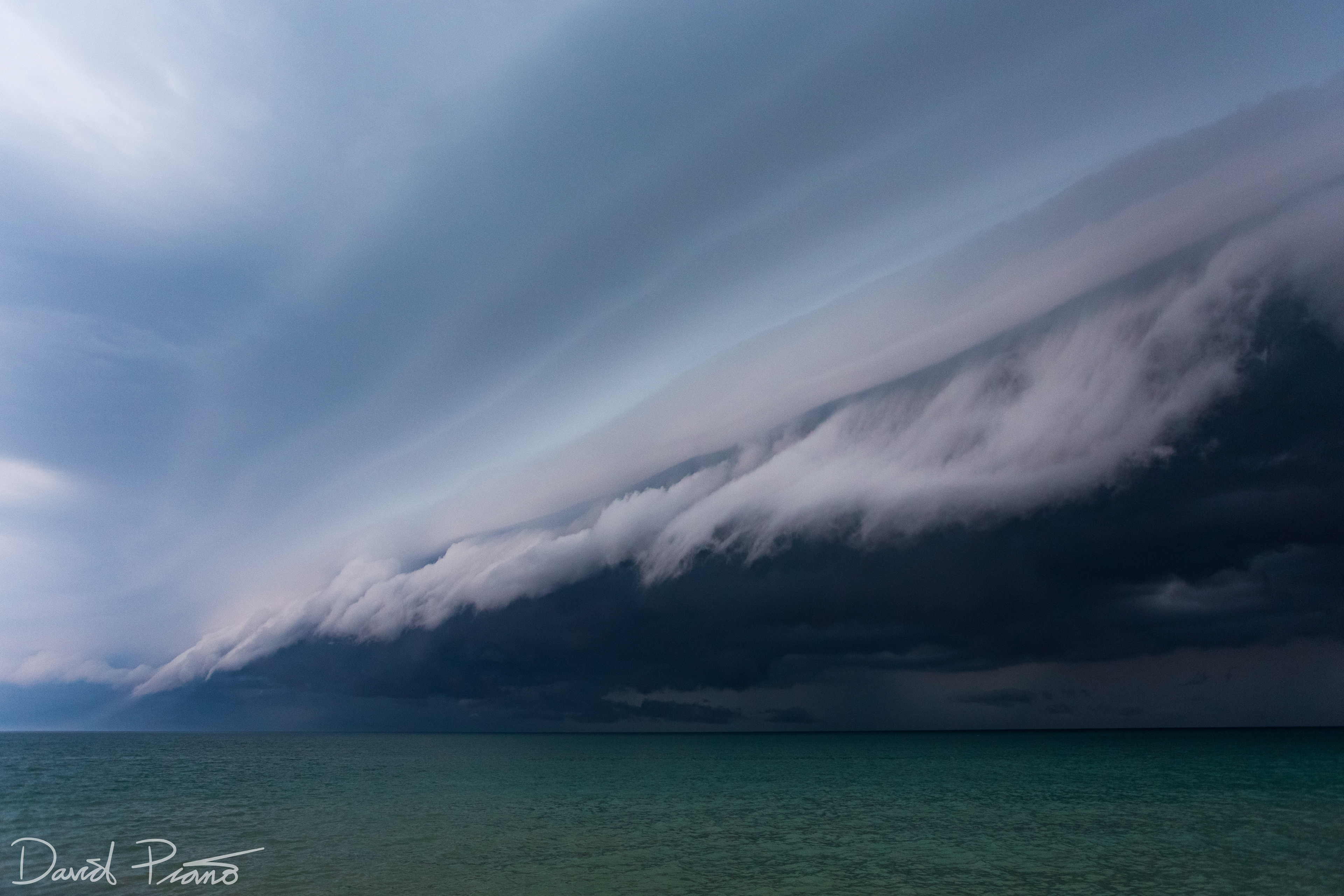
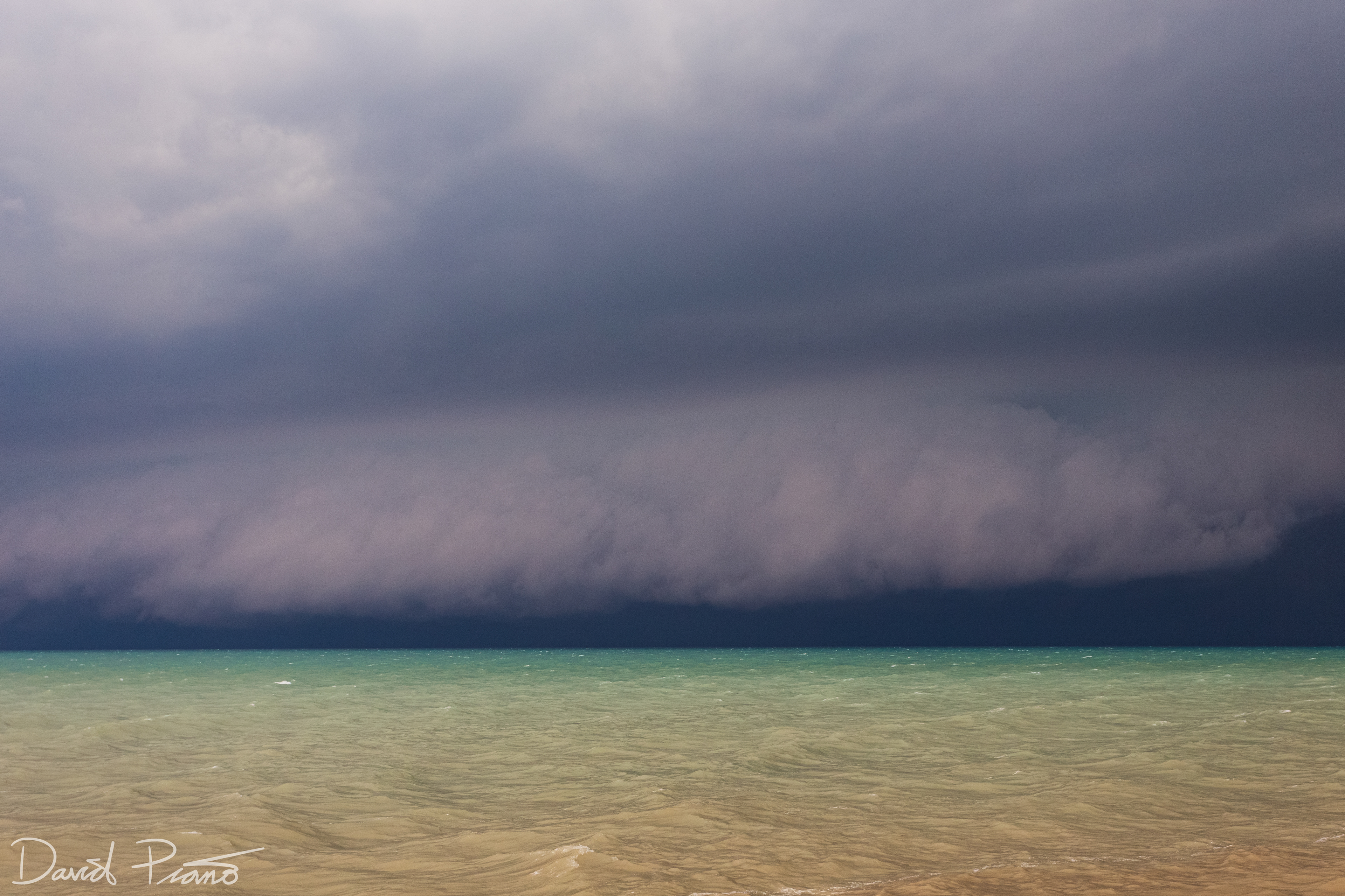
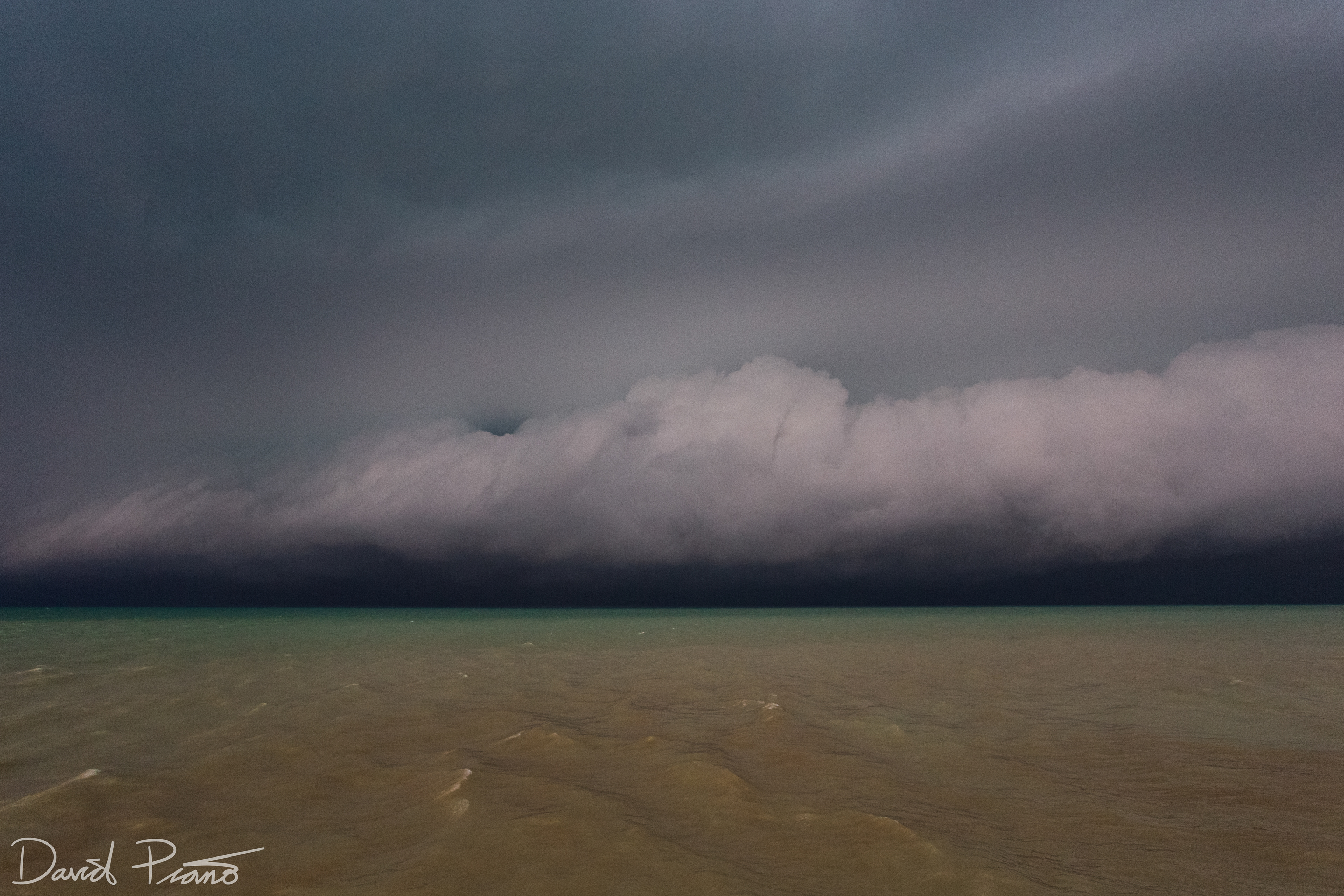
Turbulent whale's mouth of a strong thunderstorm near London
Turbulent whale's mouth of a strong thunderstorm near London
Turbulent whale's mouth of a strong thunderstorm near London
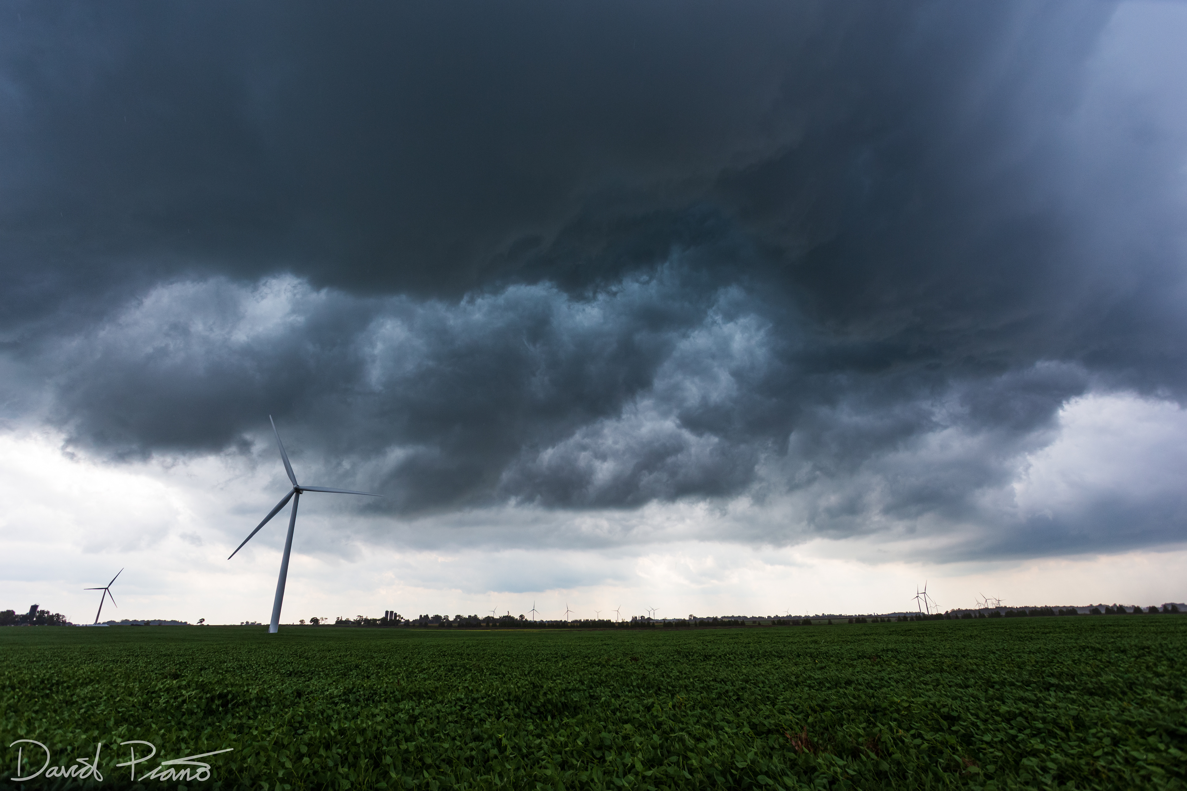
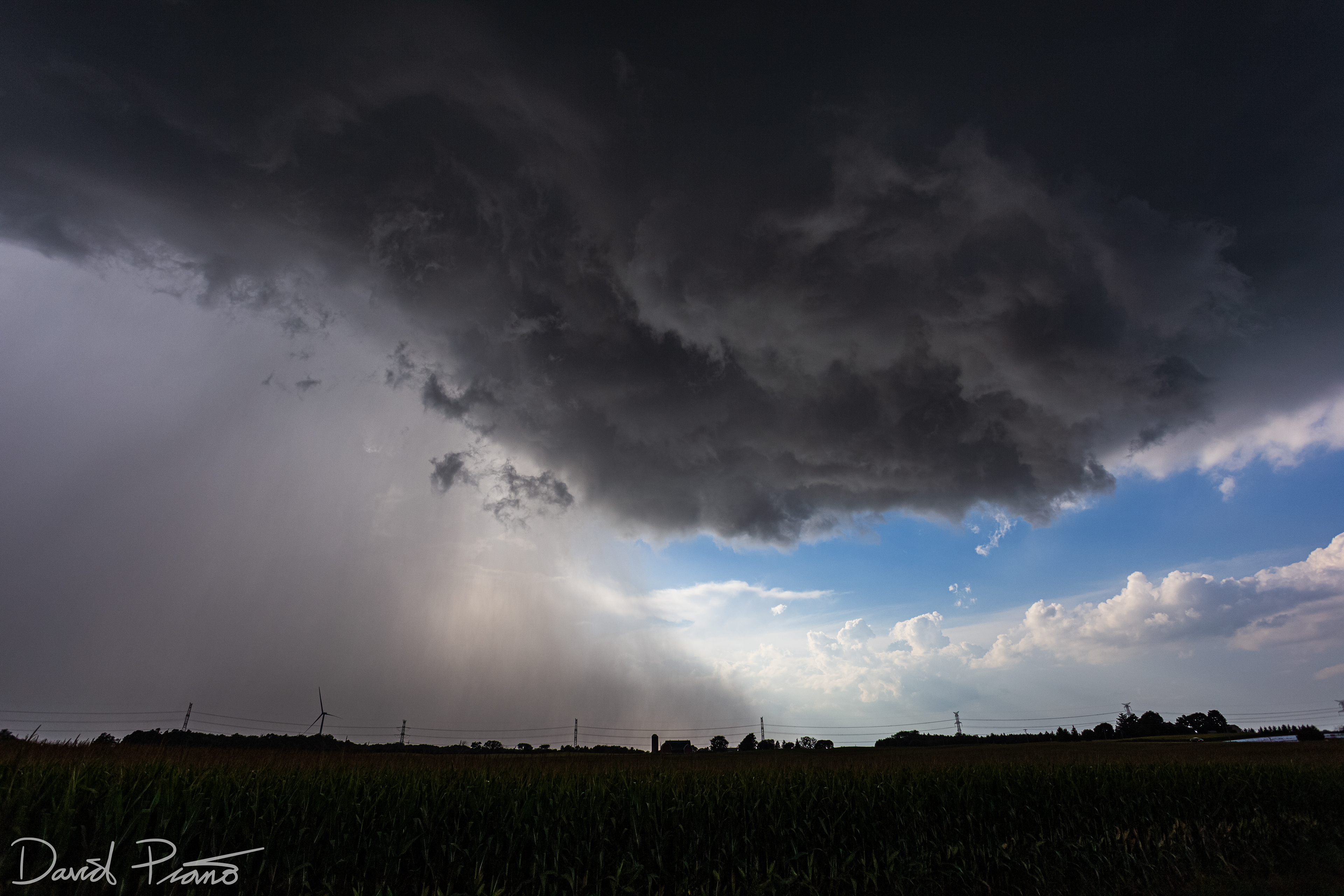
Lake-breeze thunderstorm near Strathroy
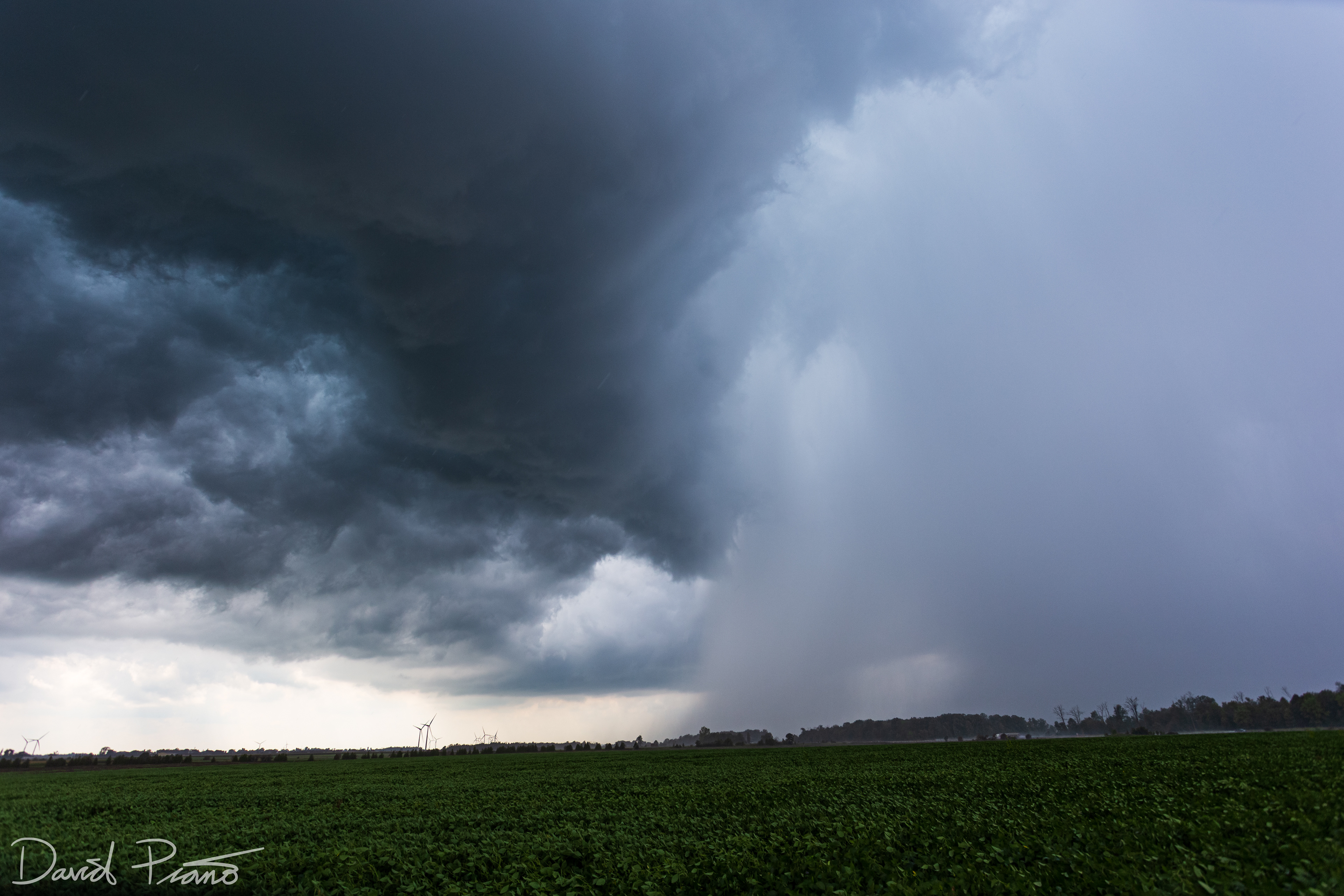
Lake-breeze thunderstorm near Strathroy
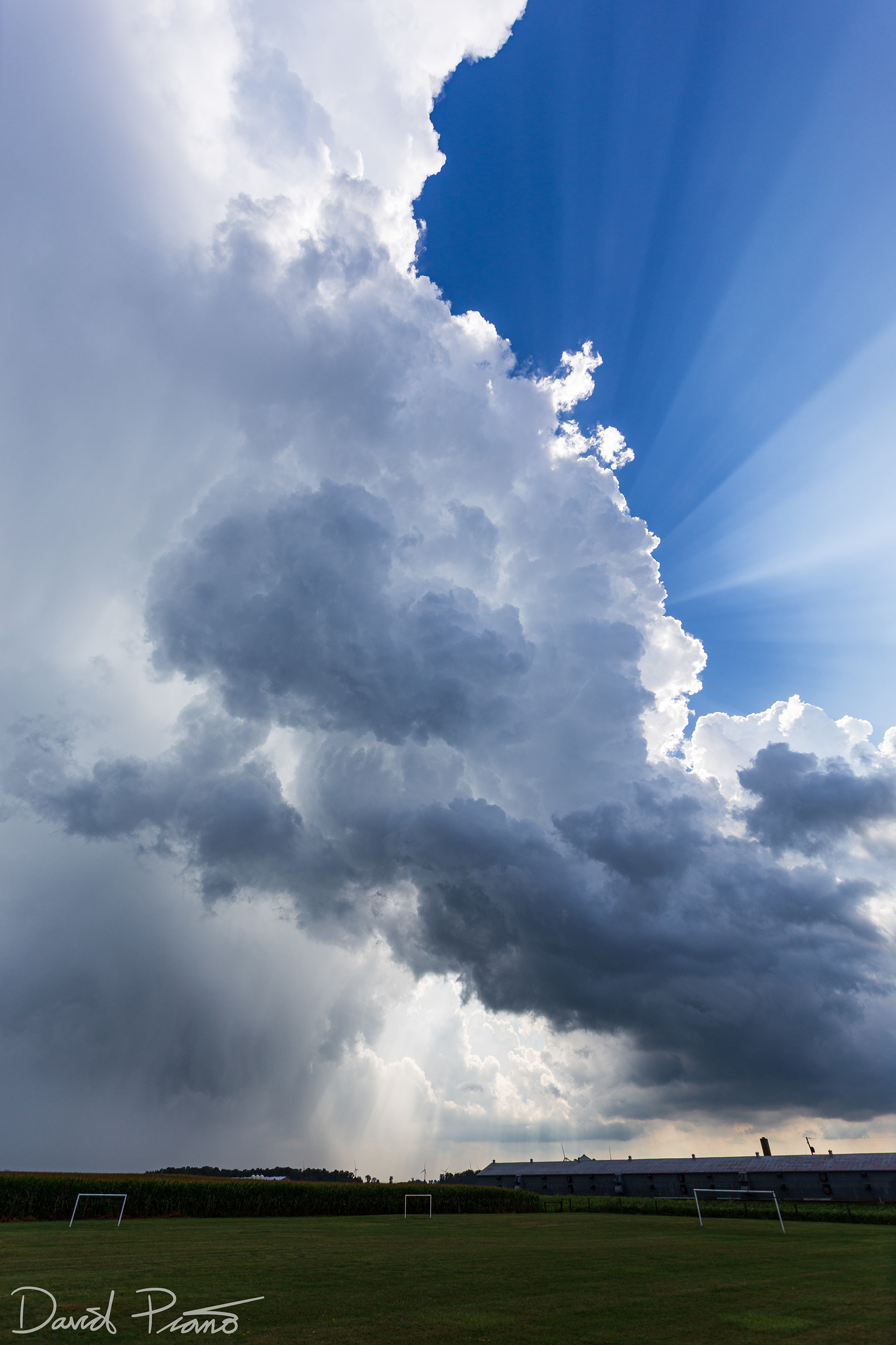
Crepuscular rays fan out from behind a towering CB near Strathroy
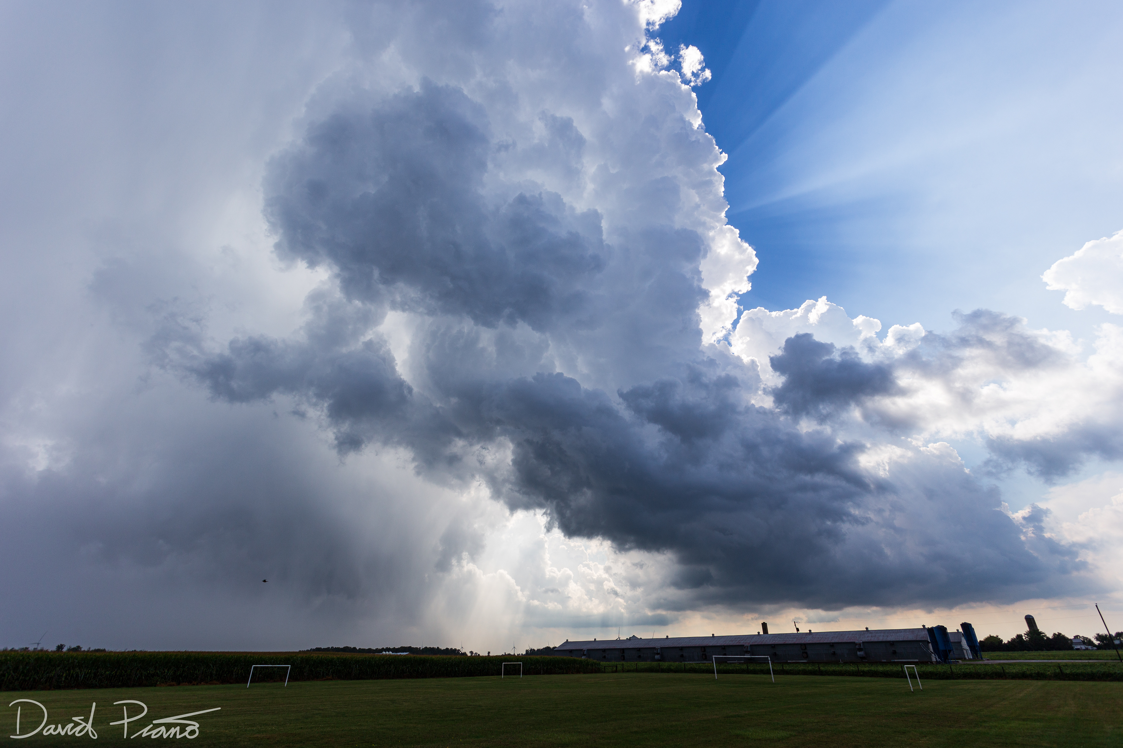
Crepuscular rays fan out from behind a towering CB near Strathroy
A weakening bow-echo passes through Port Glasgow on Lake Erie
A weakening bow-echo passes through Port Glasgow on Lake Erie
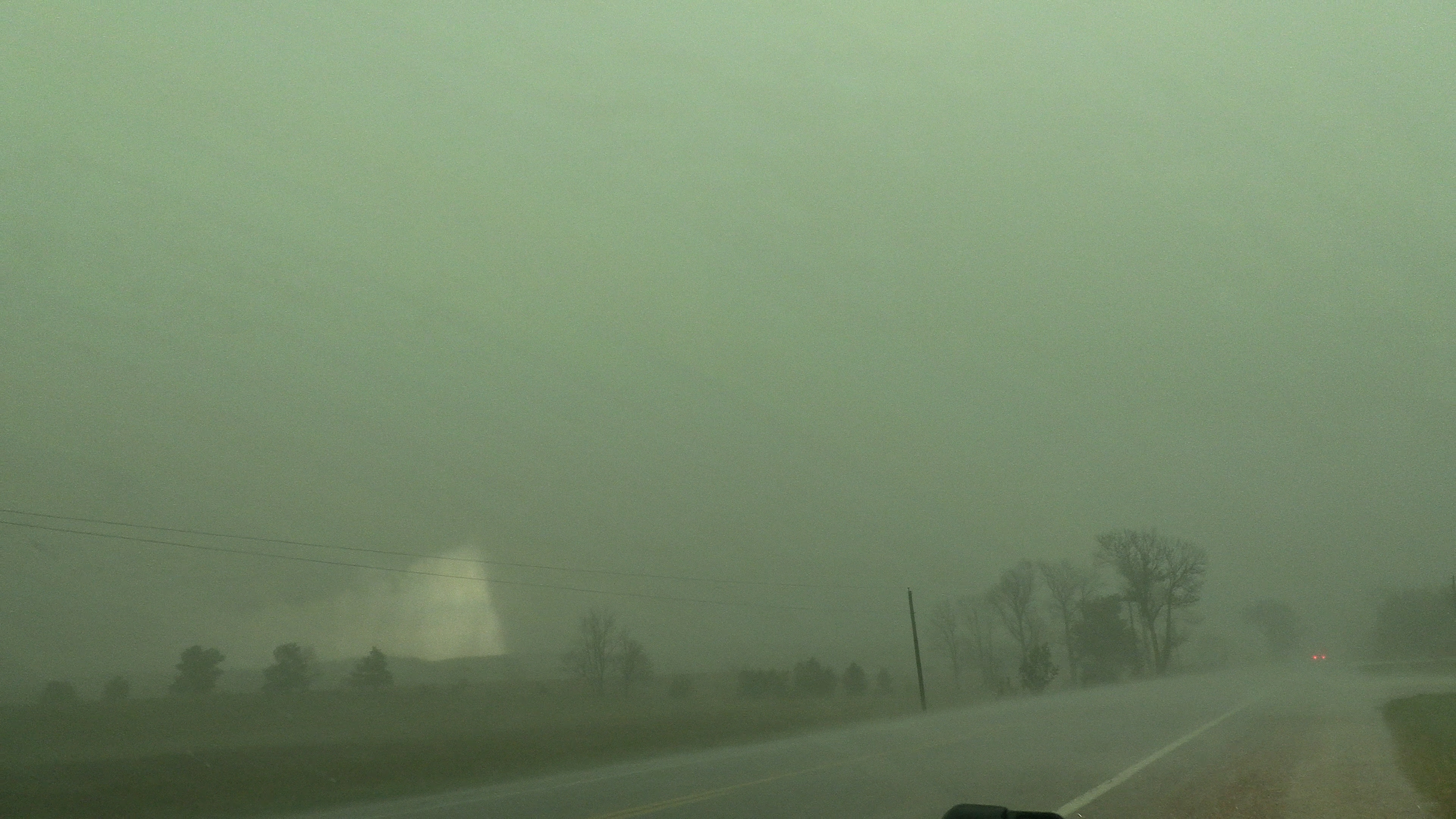
Sept. 14 - A severe thunderstorm approaches Walkerton with a mean-looking shelf cloud and a green hue.
Sept. 14 - A severe thunderstorm approaches Walkerton with a mean-looking shelf cloud and a green hue.
Sept. 14 - A severe thunderstorm approaches Walkerton
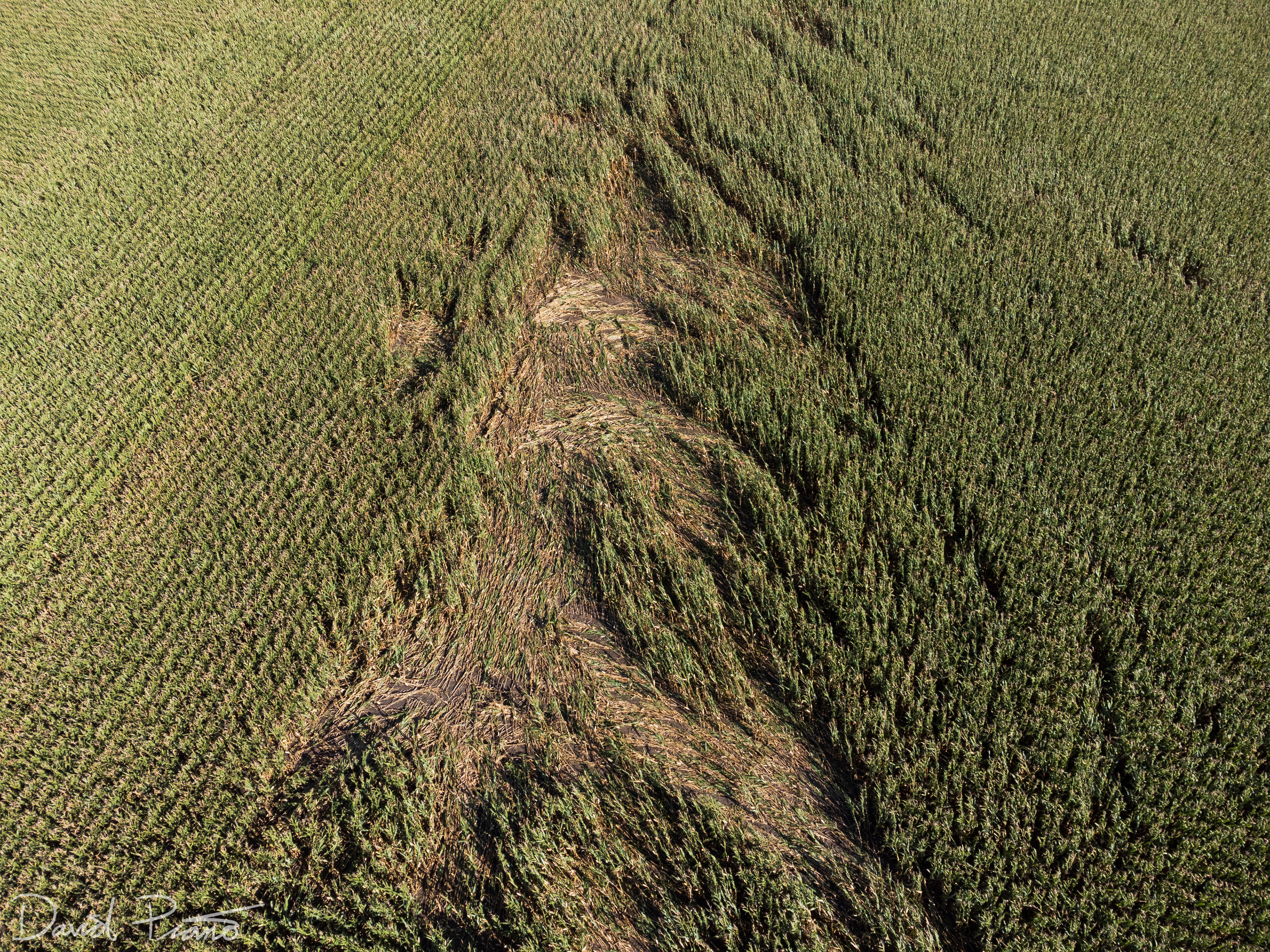
Sept. 7 - Drone view of a narrow EF-0 tornado track in Perth County (taken a couple weeks after the event))
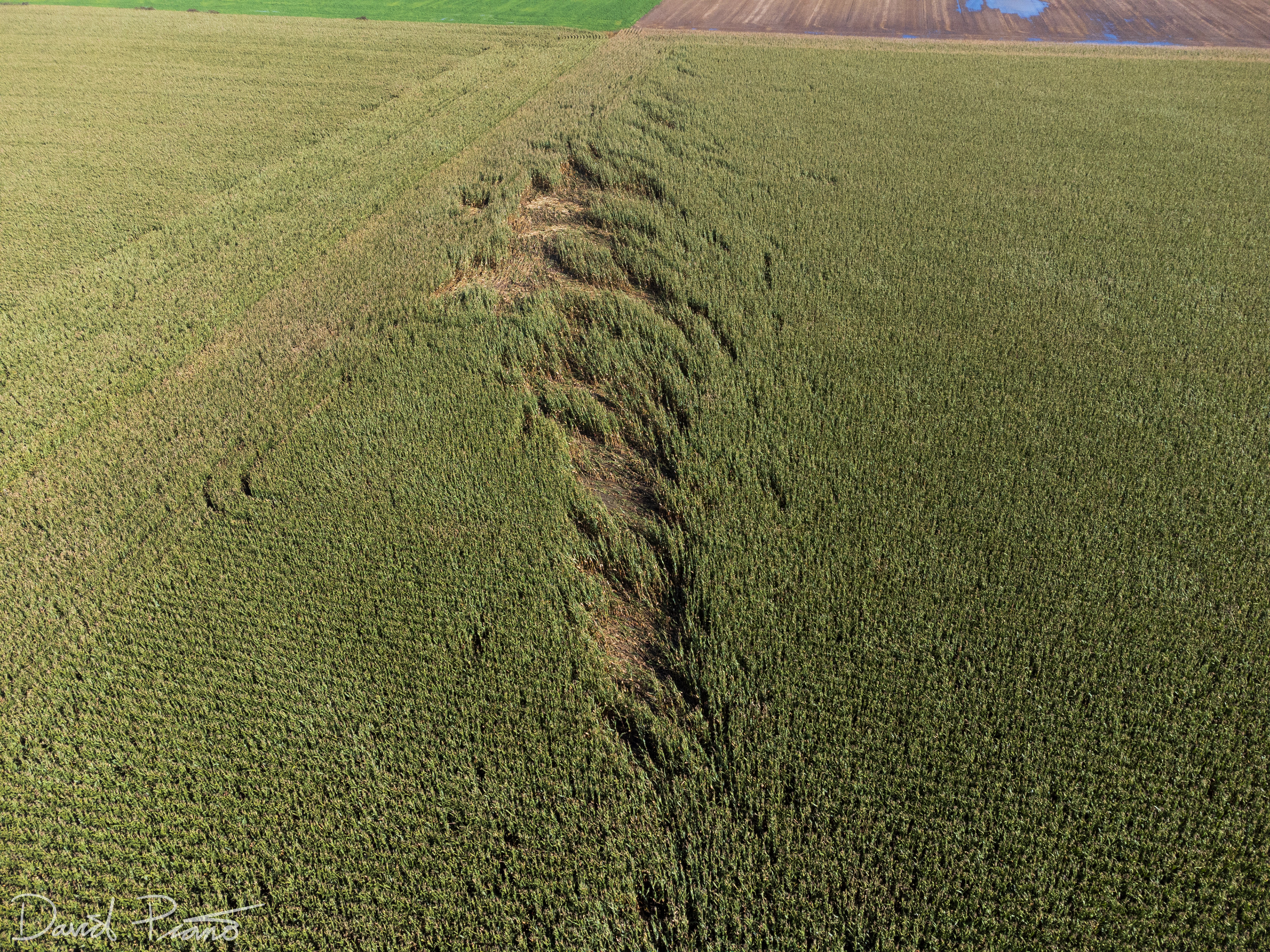
Sept. 7 - Drone view of a narrow EF-0 tornado track in Perth County (taken a couple weeks after the event))
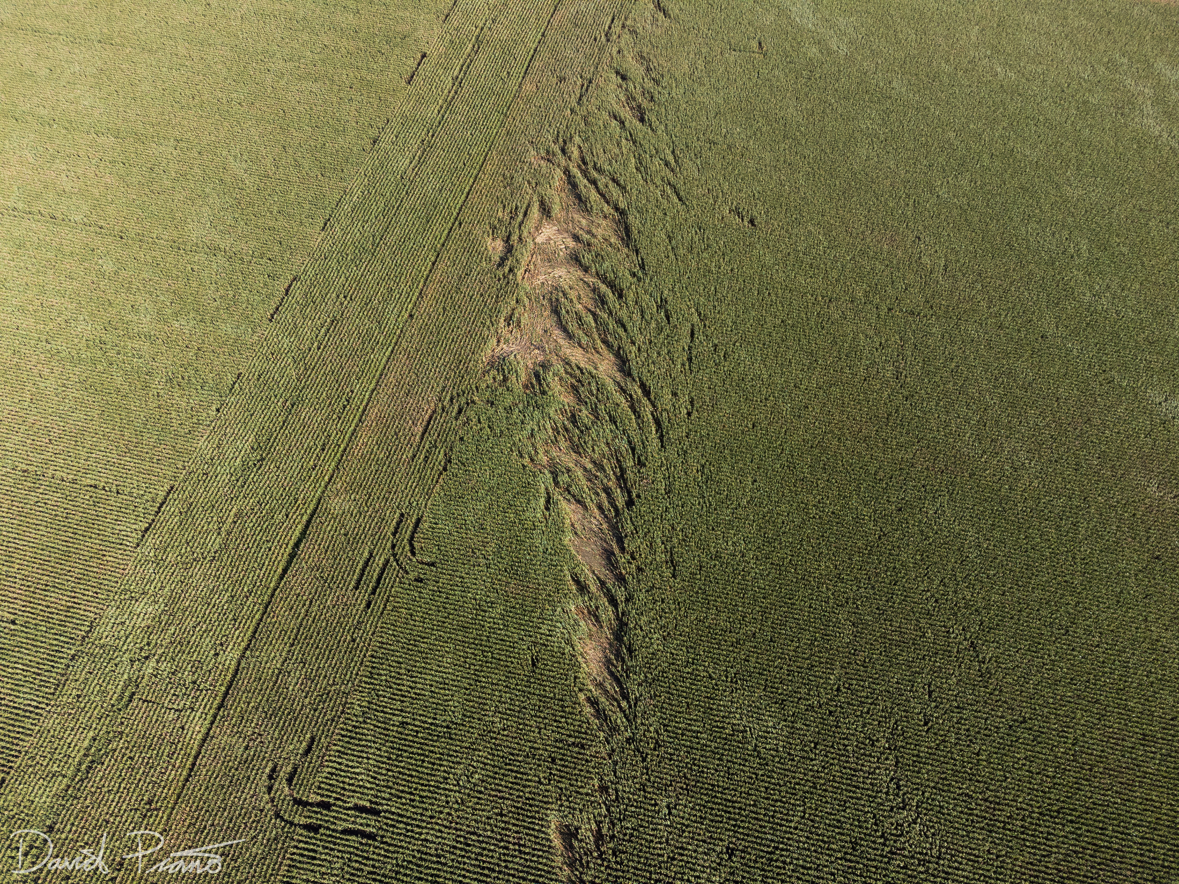
Sept. 7 - Drone view of a narrow EF-0 tornado track in Perth County (taken a couple weeks after the event))
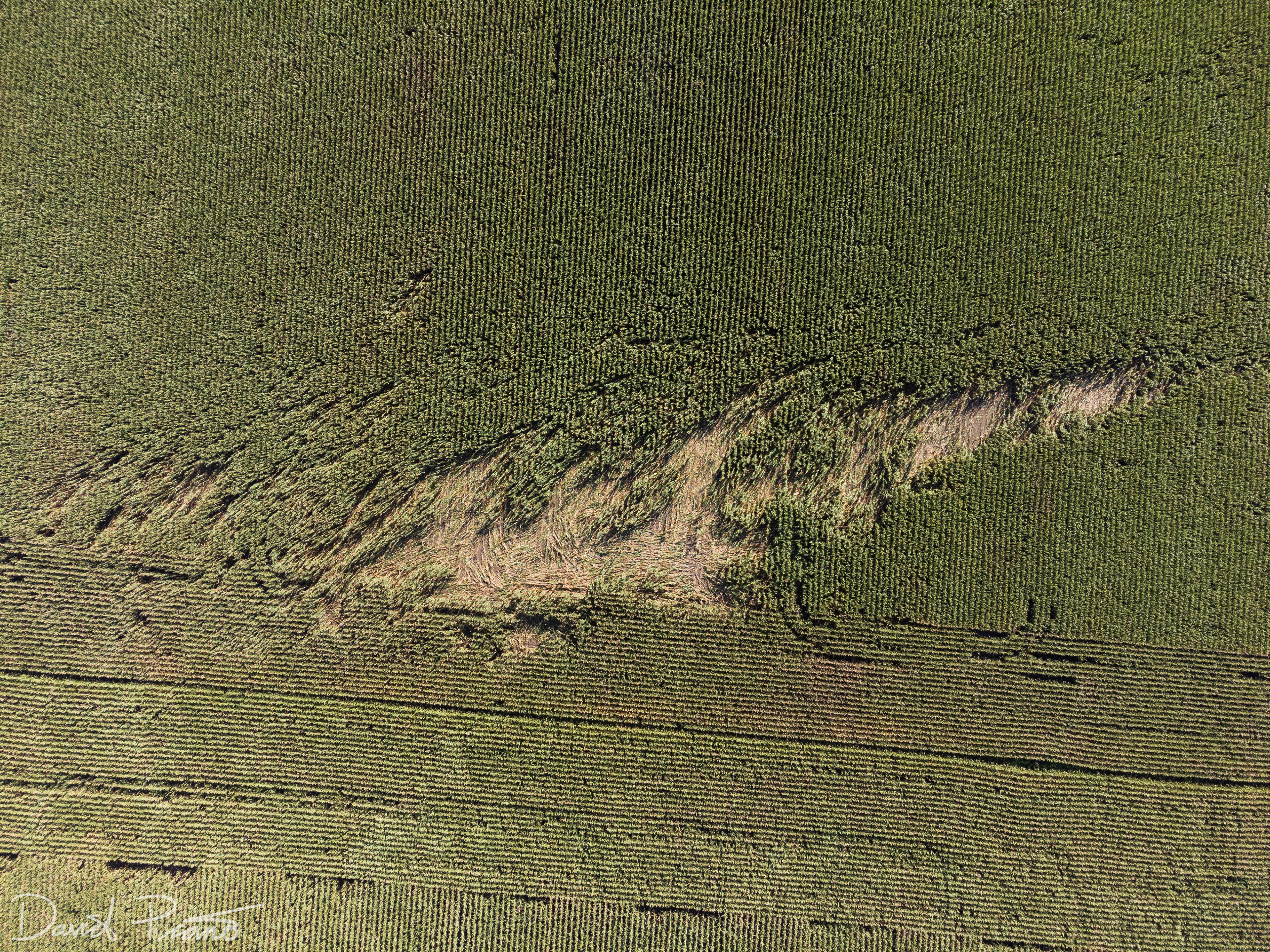
Sept. 7 - Drone view of a narrow EF-0 tornado track in Perth County (taken a couple weeks after the event))
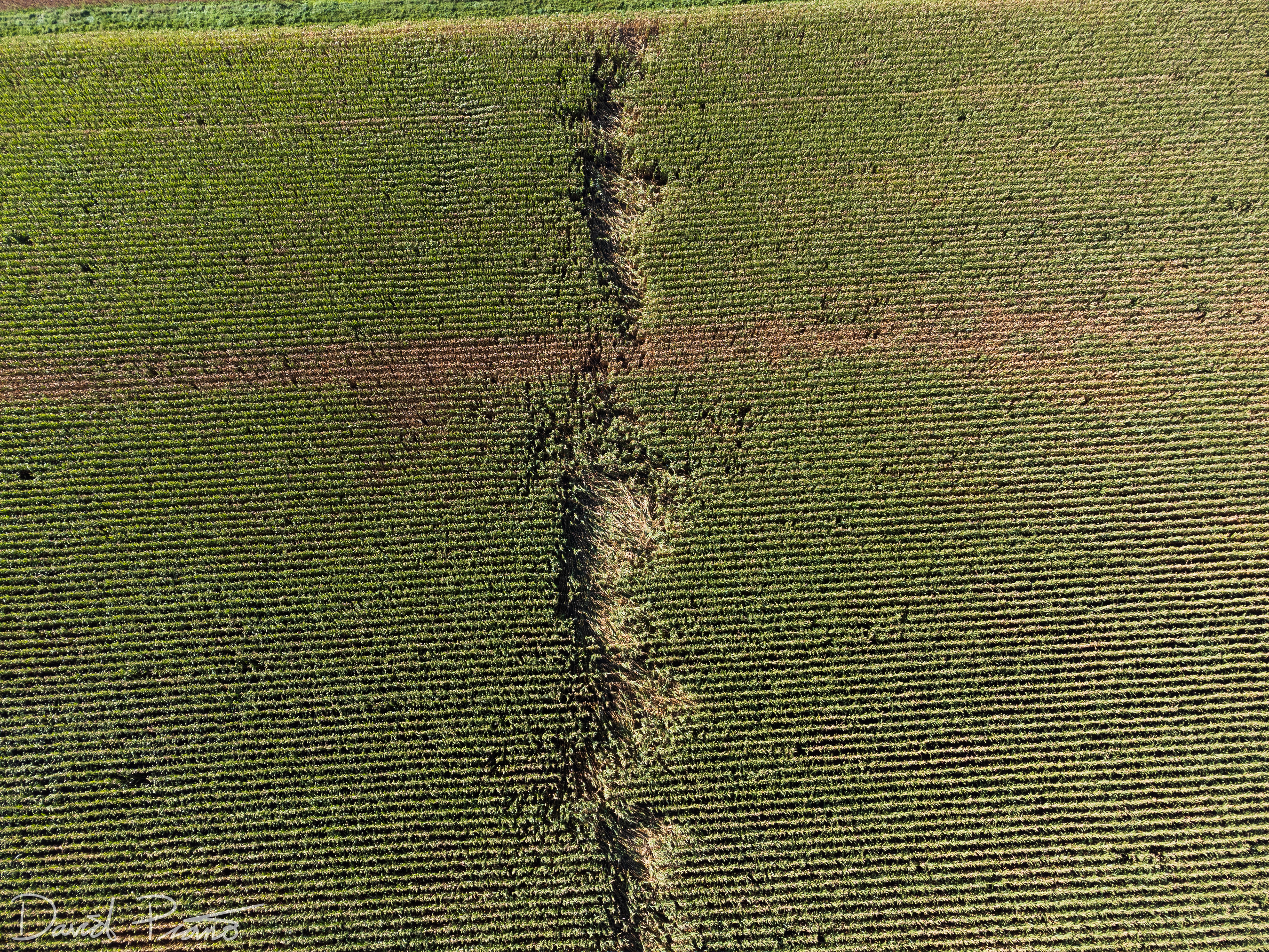
Sept. 7 - Drone view of a narrow EF-0 tornado track in Perth County (taken a couple weeks after the event))
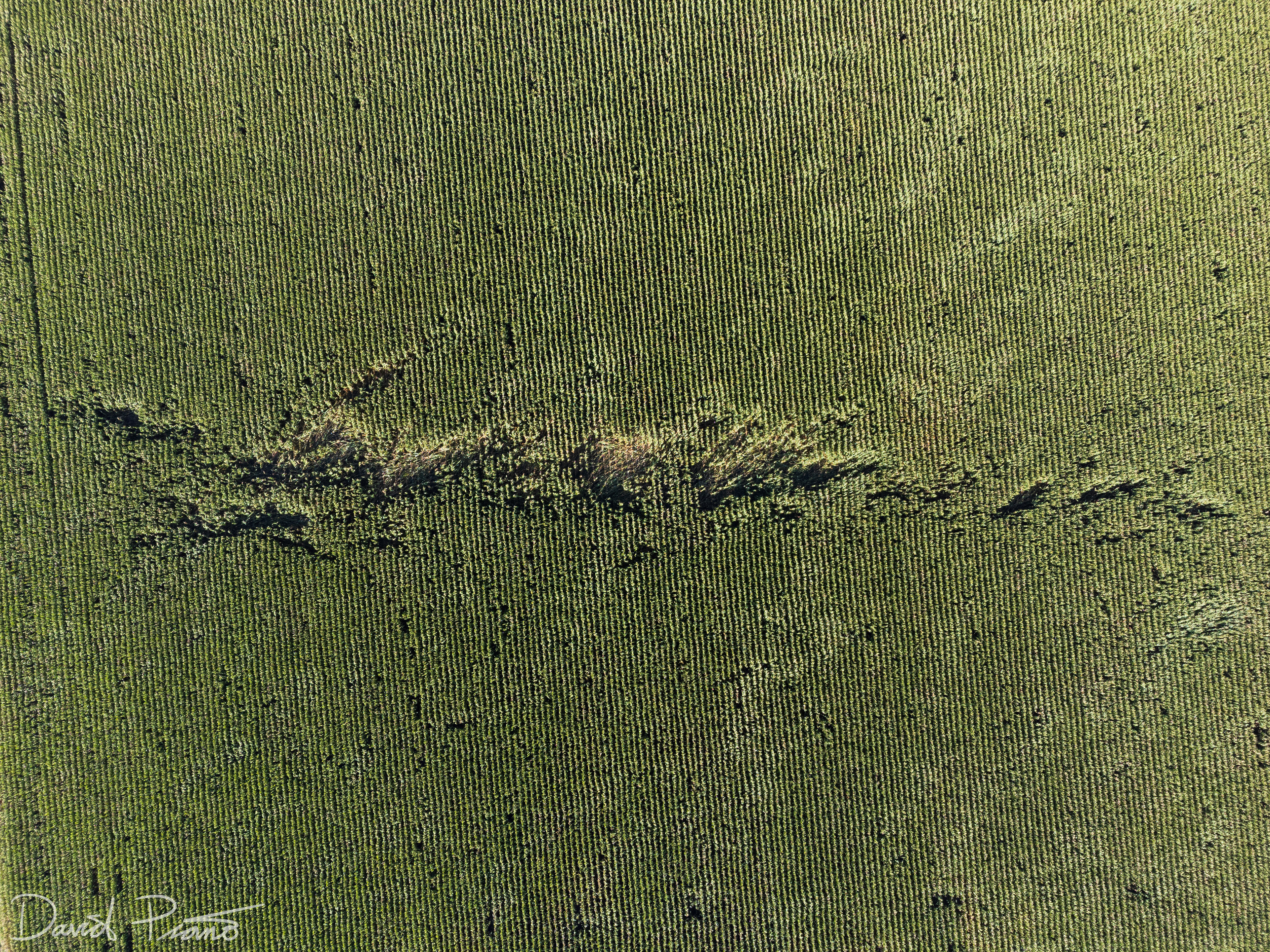
Sept. 7 - Drone view of a narrow EF-0 tornado track in Perth County (taken a couple weeks after the event))
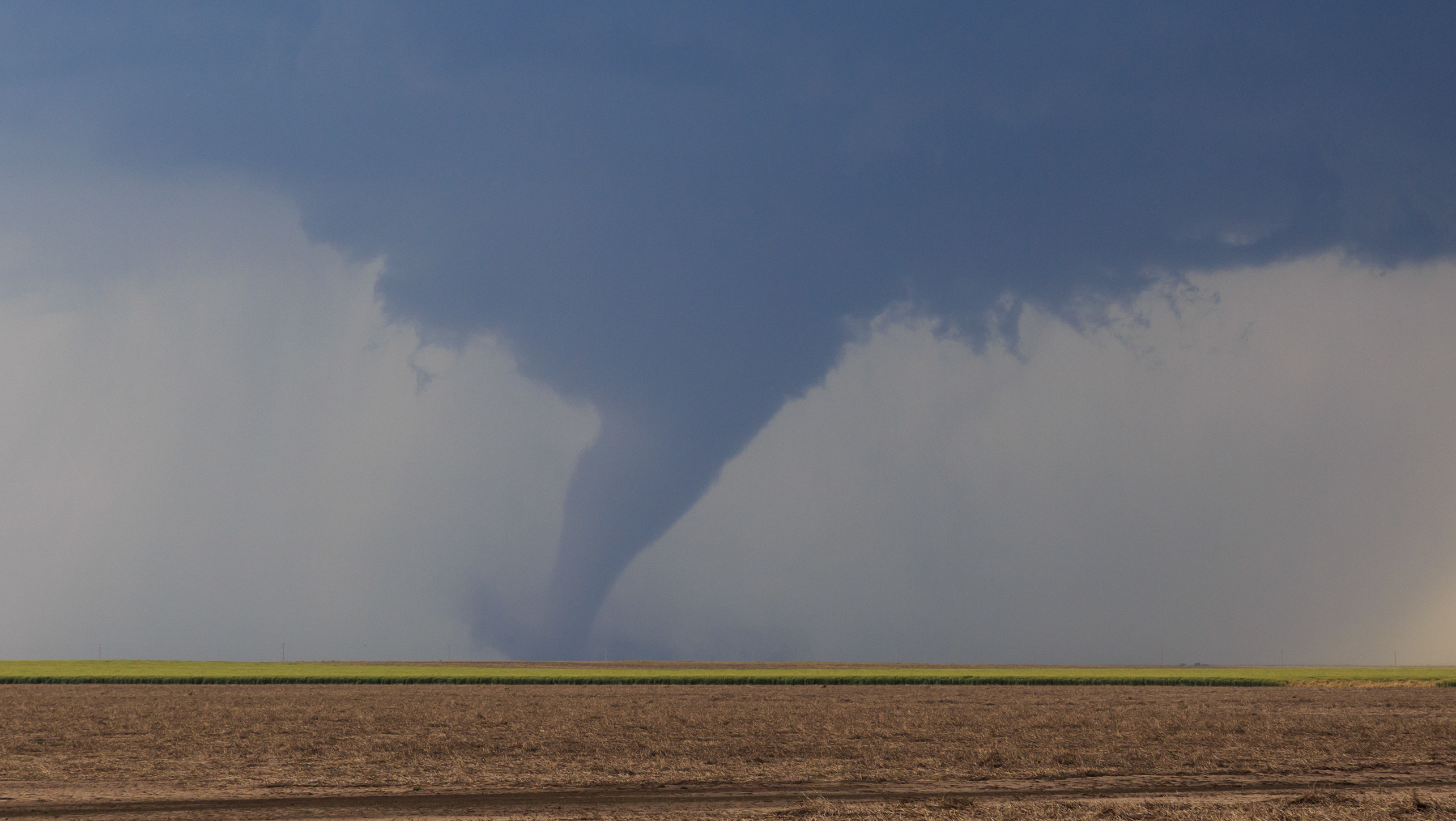
The Tornado Event of September 7, 2021 - Huron County
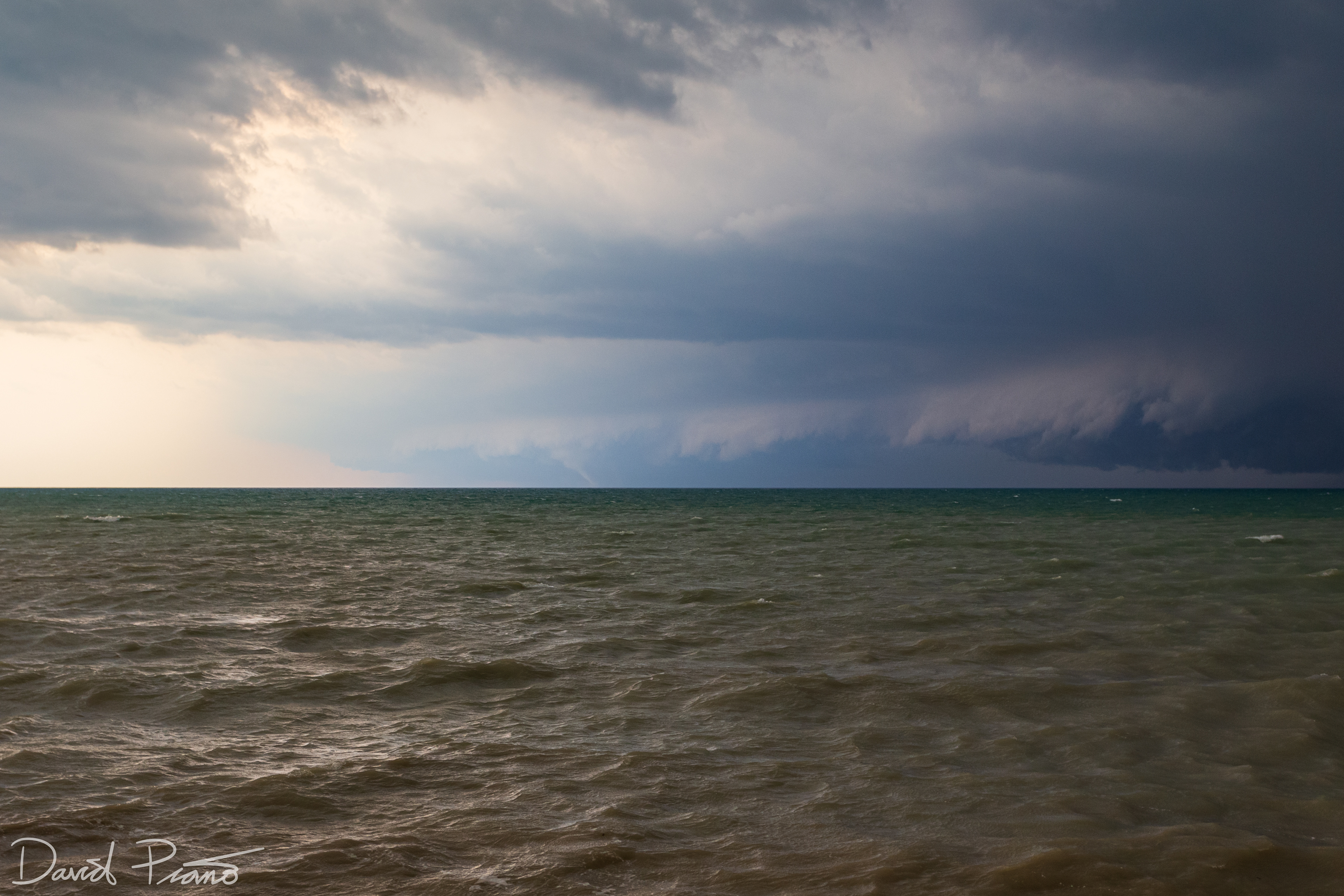
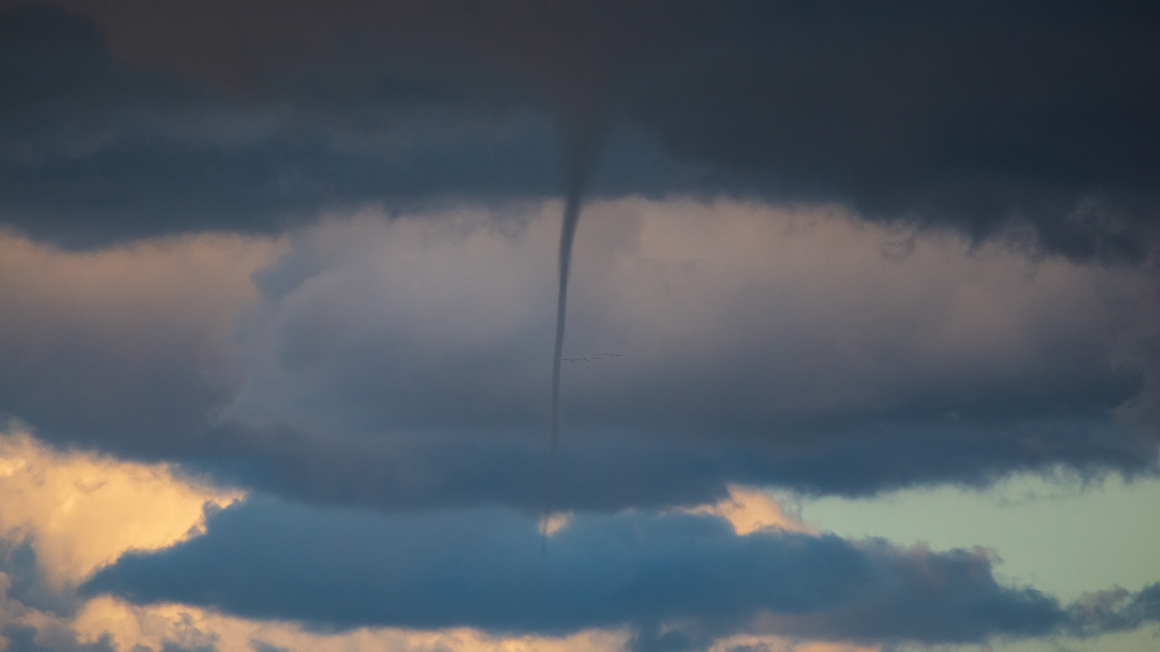
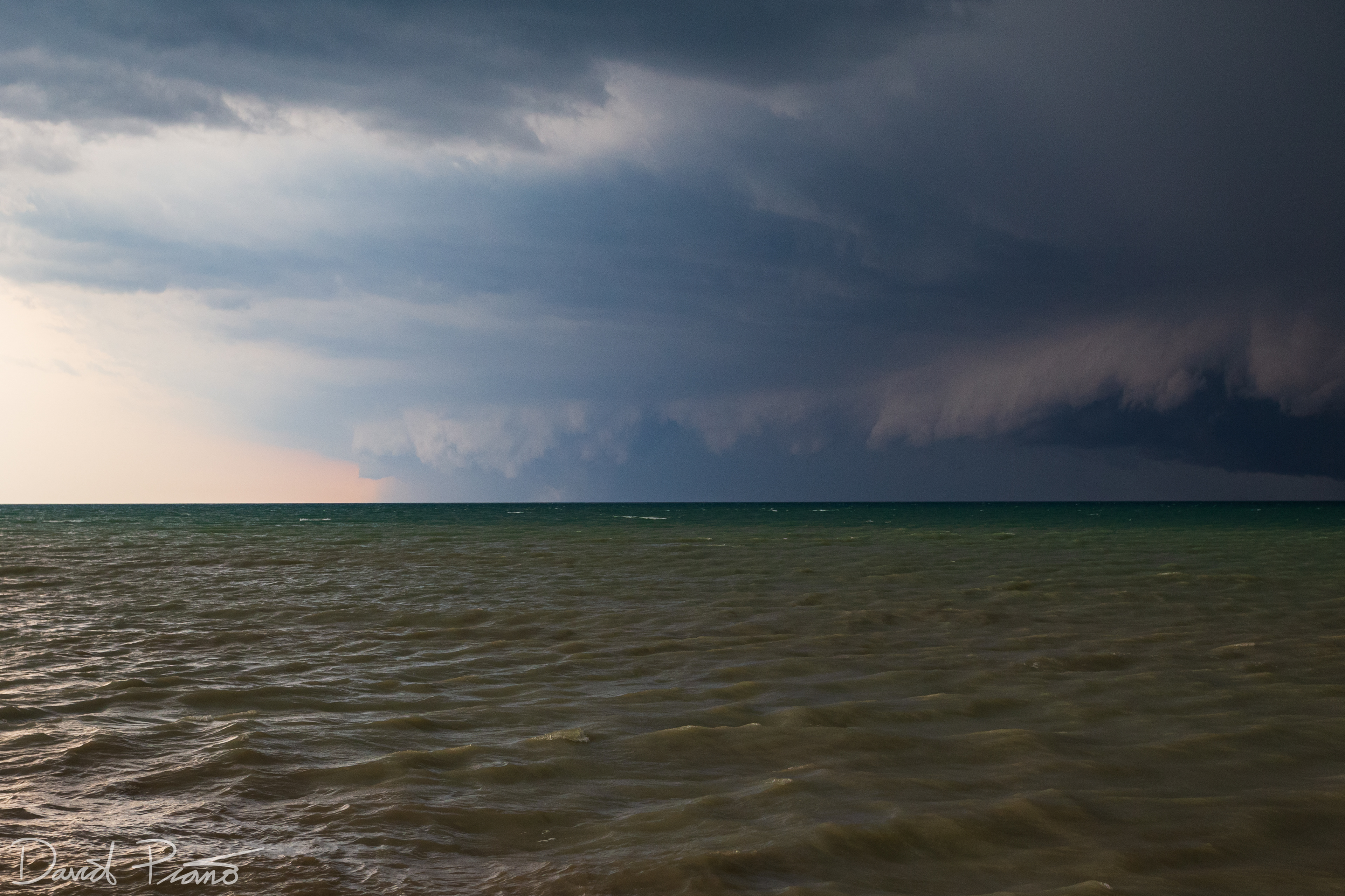
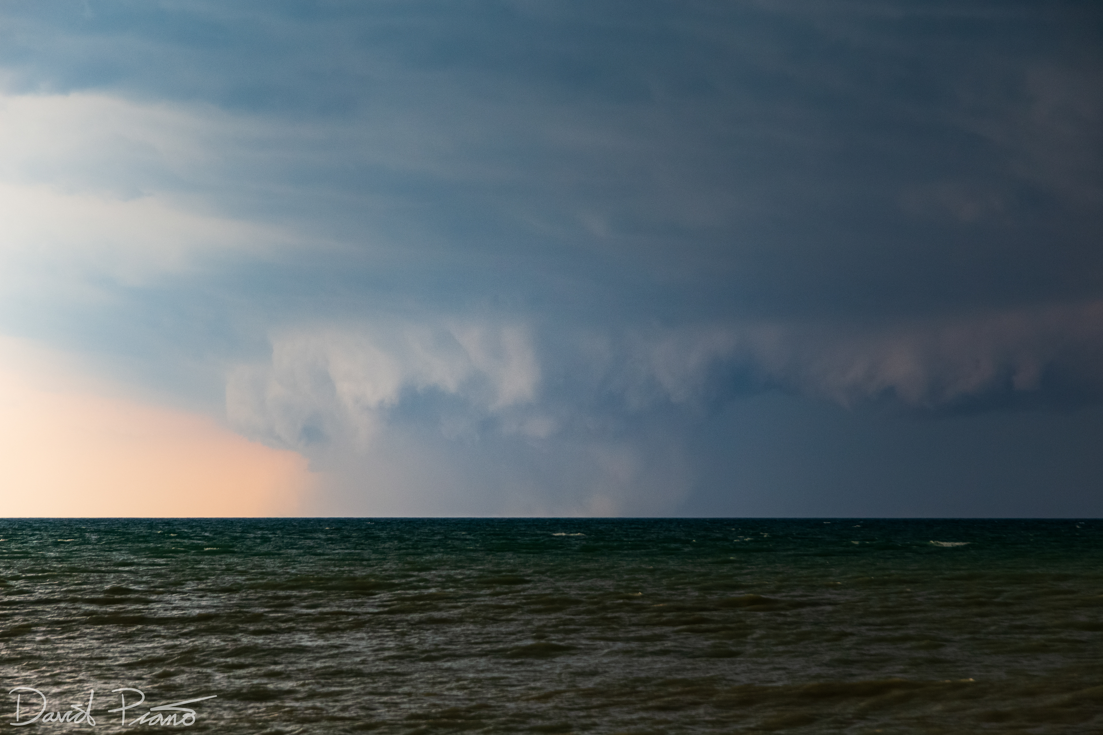
A white elephant trunk tornado develops over Lake Huron looking SSW from Point Clark
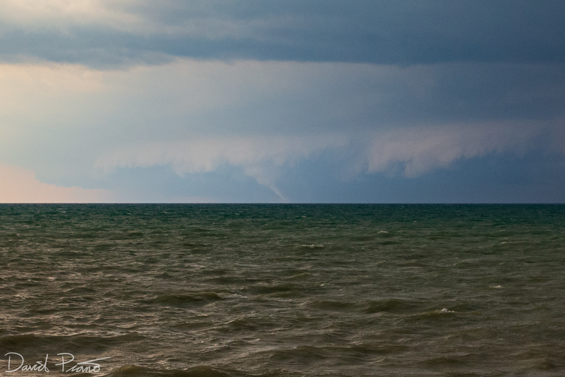
A white elephant trunk tornado develops over Lake Huron looking SSW from Point Clark
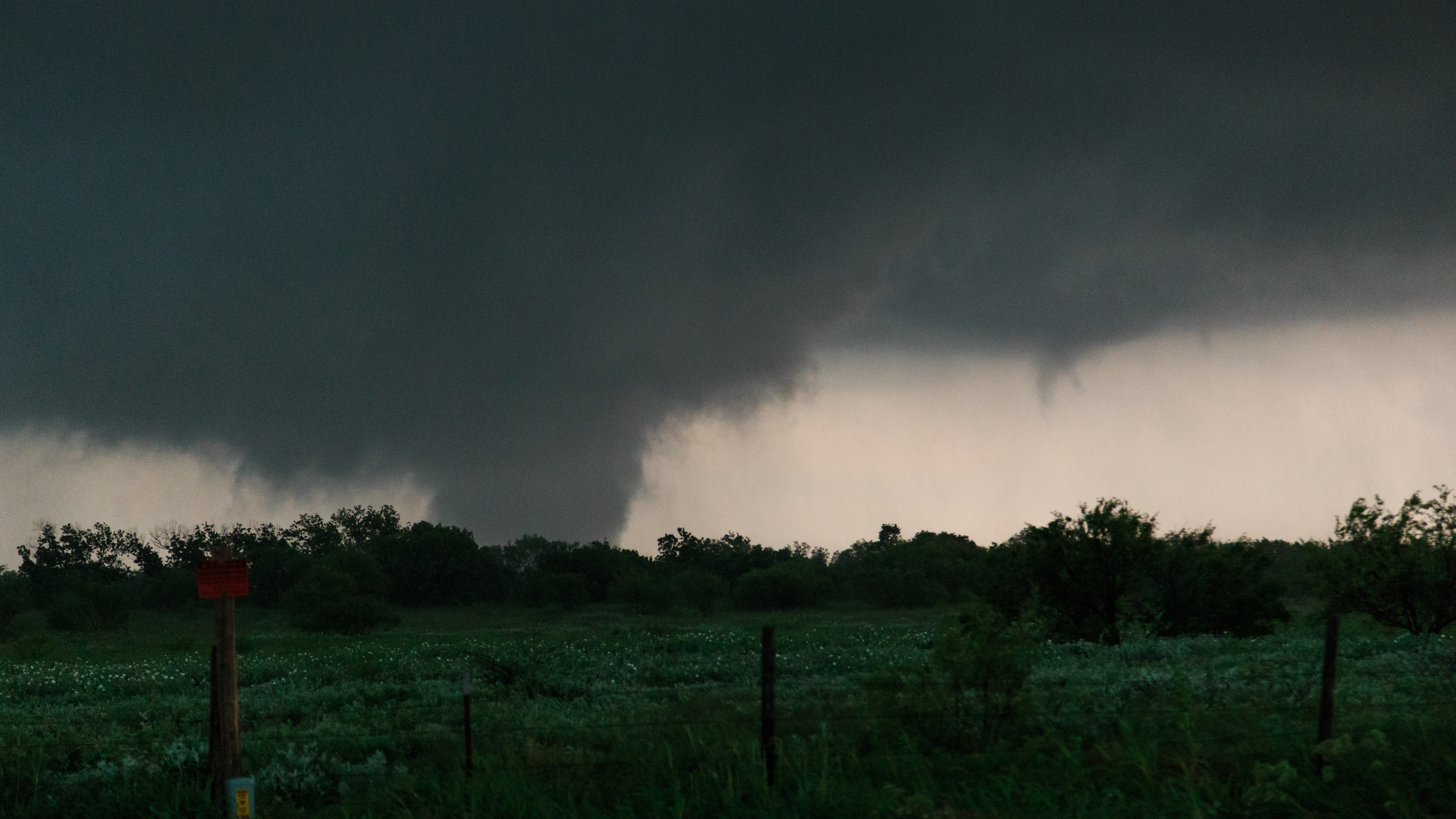
The tornado grows in size and exhibits a multi-vortex structure over Lake Huron
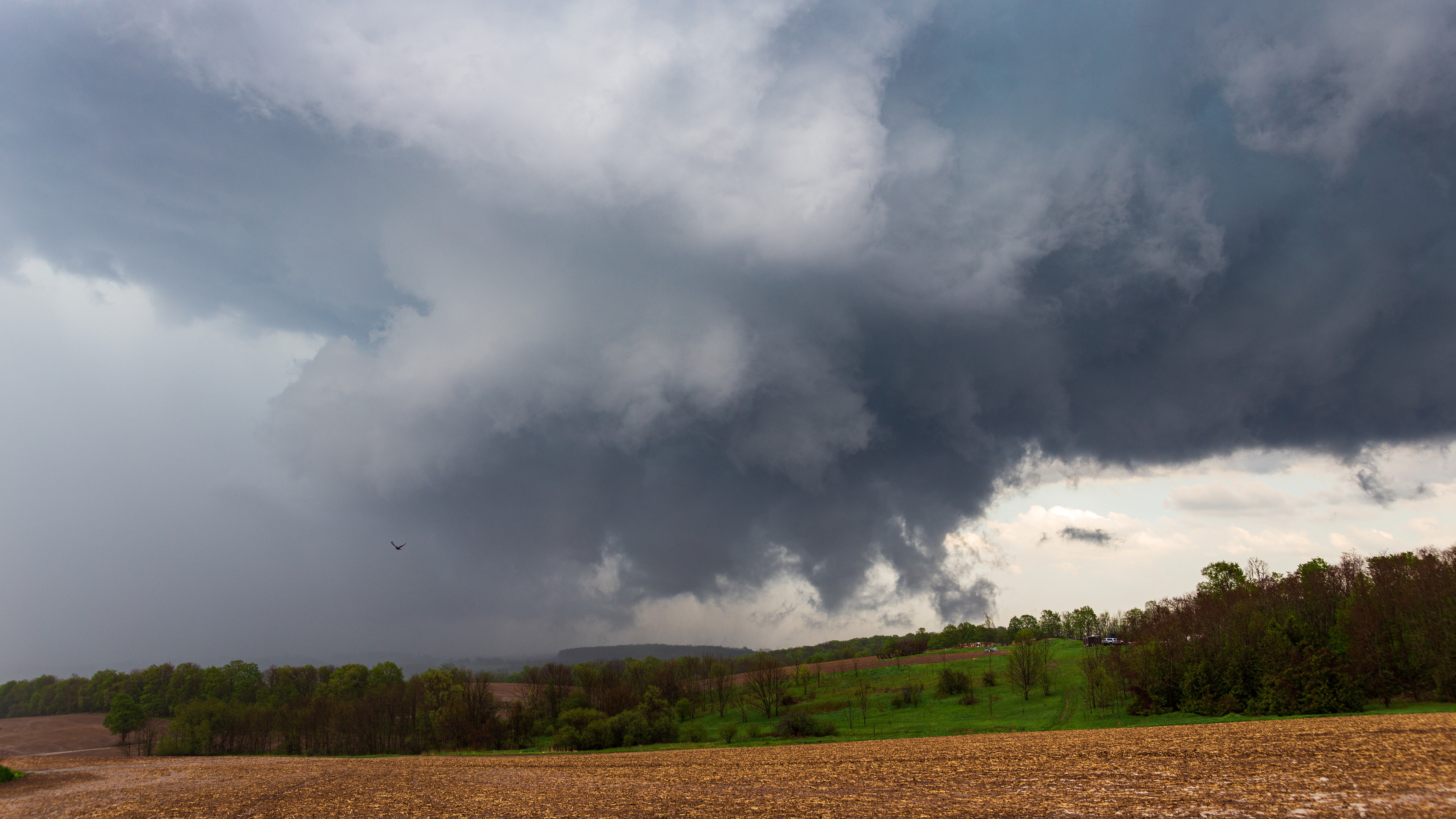
Large tornado over Lake Huron looking SSW from Point Clark
Large tornado over Lake Huron looking SSW from Point Clark
Large tornado over Lake Huron looking SSW from Point Clark
Large tornado over Lake Huron looking SSW from Point Clark
Large tornado over Lake Huron looking SSW from Point Clark
Enhanced video frame grab showing the wedge tornado over Lake Huron about to come onshore
Shelf cloud just north of the tornado approaching Point Clark
Shelf cloud just north of the tornado approaching Point Clark
Video frame grab of the rain-wrapped circulation about to cross Huron County Rd. 86
Video frame grab shows the clear slot as the circulation crosses Huron County Rd. 86 just west of Lucknow